T4A is very helpful for Africa, it covers many tracks specially on the east, many small dirttracks, and near every track in the national parks.
That detailed maps you cant even buy in the national parks. Also some Campsites are better covered as with other solutions.
T4A is very helpful, but not as only navigation Unit. The POI Database isnt that strong, means there are not many Fuelstations, Policestations, Restaurants, Shops, Mechanics and so on. Also the routing is more for orientation, mostly T4A dont know one way roads, road names or house numbers.
I suggests to use an Smartphone or Tablet instead of an classic Navigation Unit like these from Garmin. You can optain cases who are dust and waterproofed.
You can optain the T4A
Tracks4Africa App for Smartphones and Tablets for iOS and Android.
This way you can optain Road-Navigation Apps like TomTom, Navigon, Sygic, who have a good maintained POI list, know one way tracks, knows road names and house numbers at least in bigger cities (there where you need it), police control points and so on.
So you can switch between T4A for Track Navigation and other Apps for Road Navigation, which will be helpful.
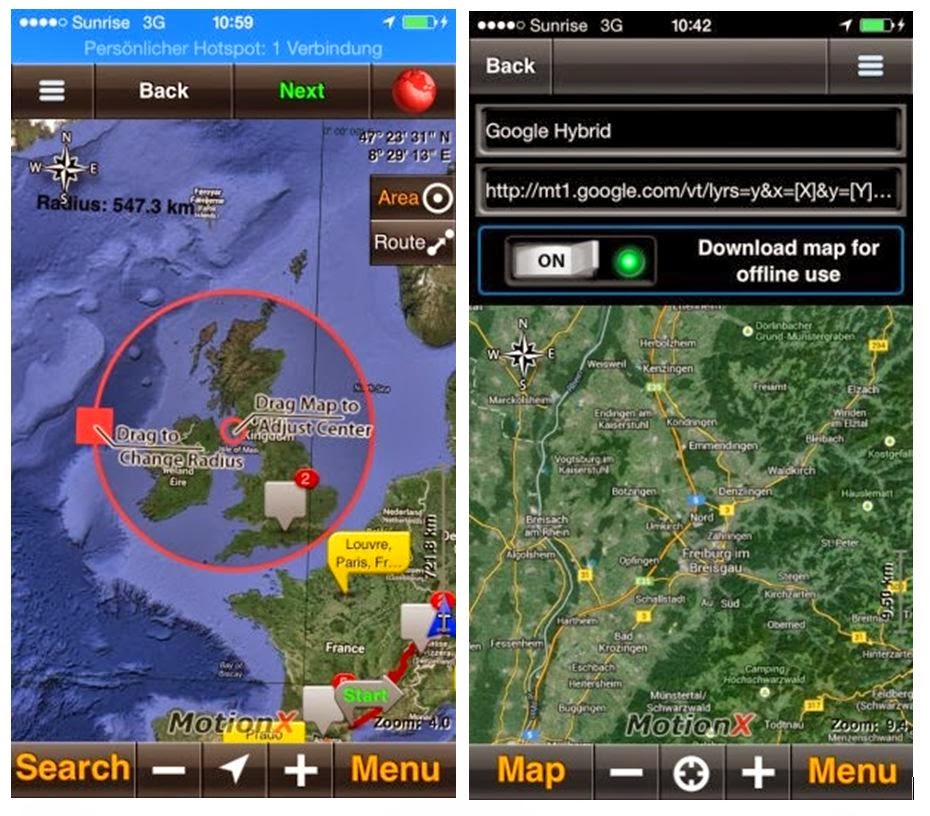
If you plan to drive really far away of civilisation, like to wildcamp and have to search for hidden spots for it, also
offline satellites Images and Hybrid view from Google/Bing will be handy.

This will need time and more storage, specially if you dont know your planned paths exactly - but if you had offline satellite hybrid view (with road overay) - it will be very helpful too. This has no routing, but help you to decide, if a target is reachable over a choosen path, or not.
Surfy