I’ve made the run from Deming, New Mexico (USA) east to Ruidoso many times,
so I’ve put together this ride guide to help my fellow travelers get the most out of this route.
We start in Deming... head east on Pine Street, which is the main drag thru town.
Pine runs alongside Interstate 10, which is just one block to the north.
-instead of getting on I-10, continue east on Pine / Hwy. 549.
(just outside of Deming, where 549 changes from a four lane
to a two lane road, you can take a detour south 7 miles to Rock Hound State Park).
Cruising onward along the 2 lane Hwy. 549, in about 14 miles you’ll come to
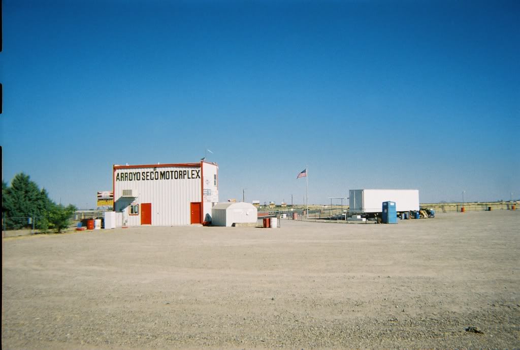
the Arroyo Seco Motorplex race track at the Akela Flats interchange-
(Interchange/Milepost #102). Motorcycles and cars run this track,
which has a dragstrip & a paved slalom flat track that weaves around through the desert:
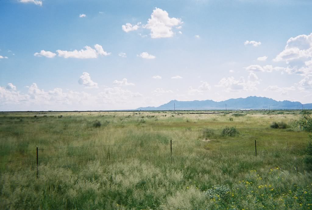
Just east beyond interchange #102 on 549 you can get on the
dirt track running alongside the Southern/Pacific railroad and ride it to
where 549 crosses over the tracks...
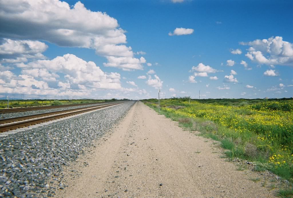
(running tracks roads may be prohibited... I've never had any issues, but "use caution & discretion"...)
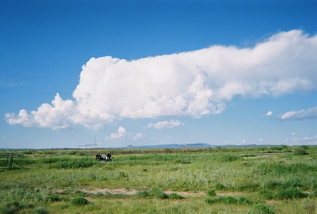
... or just stay on the two-lane blacktop-
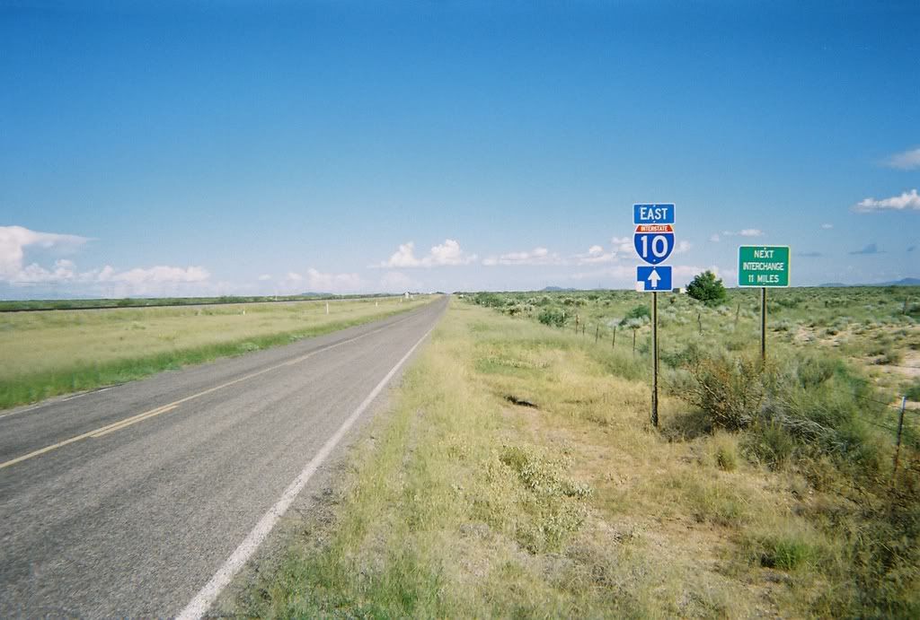
-you’ll basically have this road to yourself while still being able to see the traffic
on Interstate 10/70 in the distance to the north:
At the next interchange (#116) you’ll have to get back on I-10 for about 10 miles,
but you can get back off at the Corralitos exit (#127) and again run alongside the
south of I-10 for about 5 miles until you get to the Loves Truck stop, a convenient place to gas up.
Get back on I-10 and continue east- about 3 miles down you can peel off at
a decent rest stop with a great vista of Las Cruces. Back on the highway you
cross over the Rio Grande and into ‘Cruces. (Barnett Harley is just south of
I-10 at Avenida de Mesilla). Watch for the Albuquerque off-ramp signs, where
you will exit off of I-10 in a right-handed loop that dumps you into the fast lane of I-25 northbound.
About 7 miles up you’ll see signs for Alamogordo/Hwy. 70 east to the right.
Take this road and head for the hills, with Las Cruces in your rear-view mirror.
(Hwy. 70 is a 4 lane highway all the way to Ruidoso.)
About one mile past the San Augustine pass over the Organ Mountains is
the turnoff to Aguirre Springs. This little detour is highly recommended-
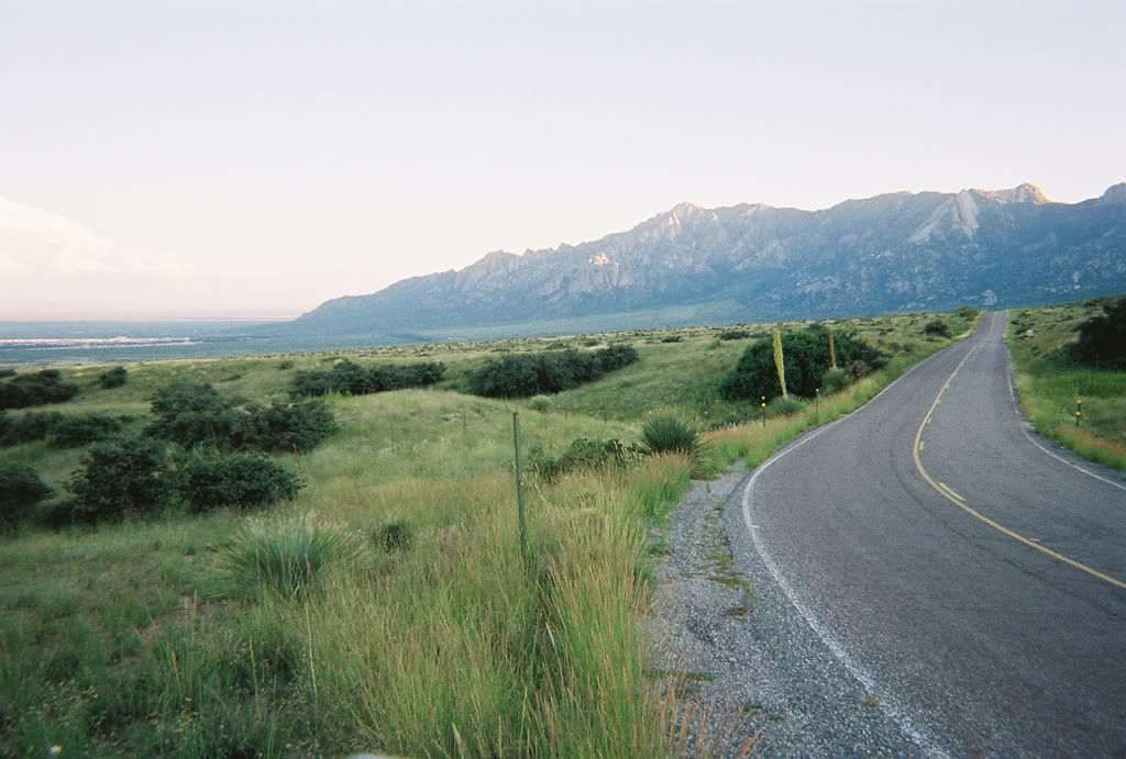
-the road runs right up to the foothills, then splits into a one-lane, one-way
paved loop road that curves and dives through the boulders and gulches.
Overnight camping is available here- the park is a pay-to-use area with picnic tables,
restrooms, and trails. You don’t have to pay just to cruise through-
but be aware that the park host closes the entrance gate around dark-thirty.
Back out on Hwy. 70 head east again, rolling past the turnoff to White Sands Missile Range.
(An optional detour here is to check in at the entrance gate to the complex and
get a pass to drive onto the range to the Missile Range Museum.)
Hwy. 70 continues NE from the Range entrance about 30 miles across the
Tularosa Basin to White Sands National Monument (WSNM). Just before you get to
the entrance to WSNM you will have to go through a US Border Patrol Checkpoint,
where they will ask you if you’re a US citizen, then send you on your way.
About 1 mile beyond the checkpoint is the turnoff to the WSNM visitors center-
the actual entrance where you pay is about 100 yards to the north-
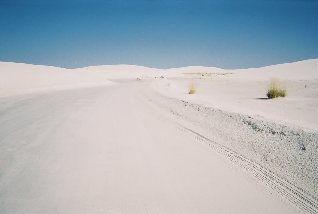
the gate fee is $3.00 per person. This is a great ride through the dunes-
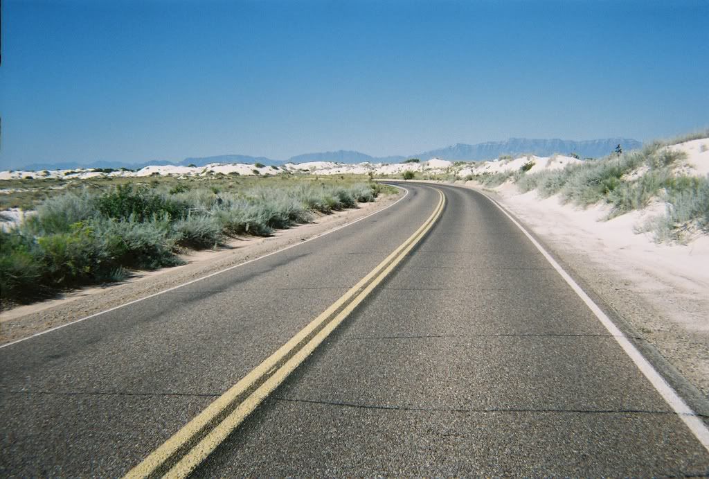
-the first half of the road is paved, the last half is hard-packed sand with
a two-way loop road at the end. Another highly recommended cruise...
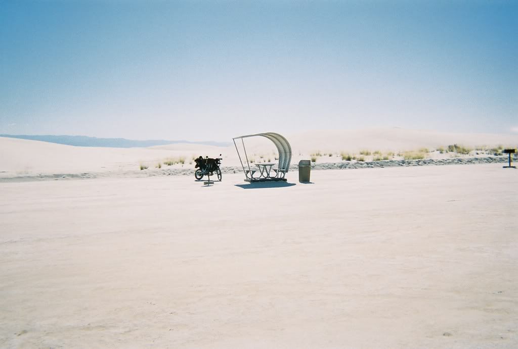
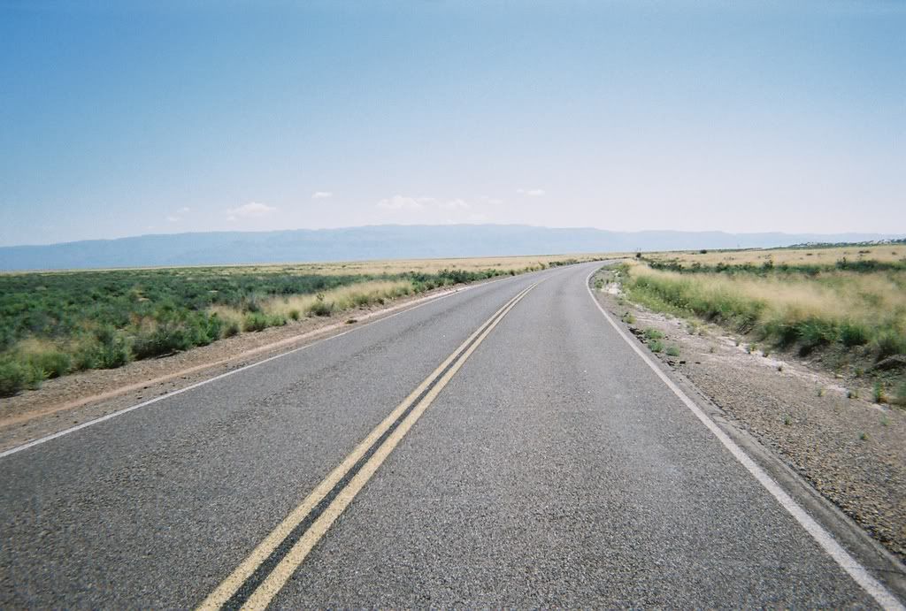
Back on 70 continue east about 3 or 4 miles to where you might be able to enter the
Lake Holloman (Raptor Lake) area on the north side of the highway.
This is the drainage area for Holloman Air Force Base (HAFB),
a waterfowl wildlife spot with winding dirt roads that lead to marked
hunting stations scattered around the lagoon sections:
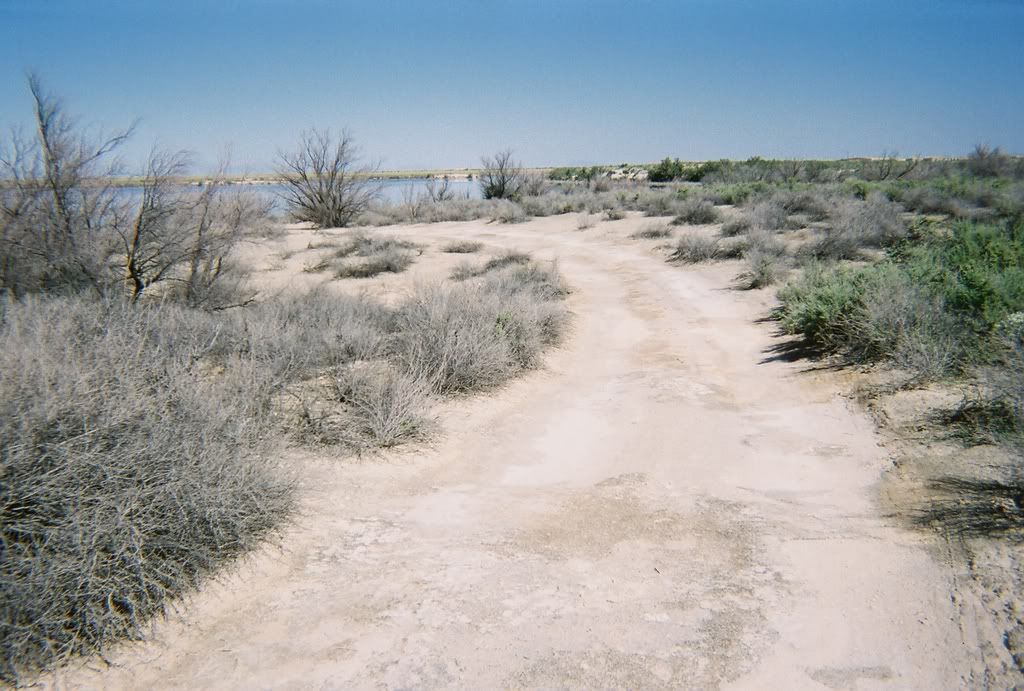
Although civilians can sometimes use this area, be aware that this is USAF property-
It may be closed depending on the scare factor in the country at that time. If it's open,
read the posted signs for info and don’t travel past the “No access beyond this point” markers.
Onward eastward on 70 you will pass HAFB as you head toward Alamogordo.
As you get into town Alamo Cycle (Honda/Yamaha) is just past mile post 210, and
Southwest Suzuki/Kawasaki is a little further east. The bike shops in town
are closed Sundays and Mondays.
Hwy. 70 merges with Hwy. 54 coming up from El Paso and becomes 70/54
as it turns north through Alamogordo. You can take the truck bypass north
around town or stay on old 70/54 (White Sands Blvd.) and cruise by the fast food joints,
hotels, and restaurants.
Holiday Cycle is on White Sands Blvd.- Mike sells used bikes & does minor mech work.
The main park in town is Alameda Park, just north of Walgreens and the Zoo
on White Sands Blvd. The Chamber of Commerce is right there also, where you
can get area info and check out the free museum next door. (A worthy detour=
The Space Hall of Fame, at the top of Indian Wells Road near NMSU.
This place has great vistas of the Basin you just crossed-
there is also an IMAX theater here)...
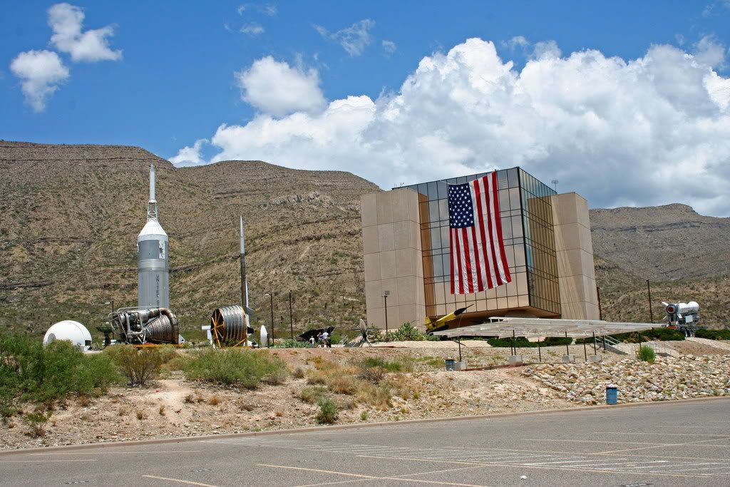
From Alameda Park we continue north on White Sands Blvd., where on the
edge of town it meets back up with the bypass. From here there are two basic
ways to continue up to Ruidoso:
The quick route is to continue north to Tularosa on the 4-lane Hwy.70,
then east through Mescalero to Ruidoso.
The scenic route is to turn east on the 2-lane Hwy. 82 and go through
the tunnel, past High Rolls through the Lincoln National Forest (LNF) to Cloudcroft,
where Hwy. 82 turns into 244. 244 is a 30 mile paved 2-lane through the
Mescalero Indian Reservation that meets back up with Hwy. 70 to Ruidoso.
We’ll take a slight variation to this scenic route, going the back way around
Cloudcroft on a dirt/gravel forest road:
Head east up Hwy. 82 from White Sands Blvd. about 2 miles to the
Florida Street intersection. This has a flashing yellow light and two gas stations.
Turn north on Florida St. and ride through the small village of La Luz.
Bear right as the road crosses the arroyo and continue east into the
mountain foothills towards Laborcita Canyon:
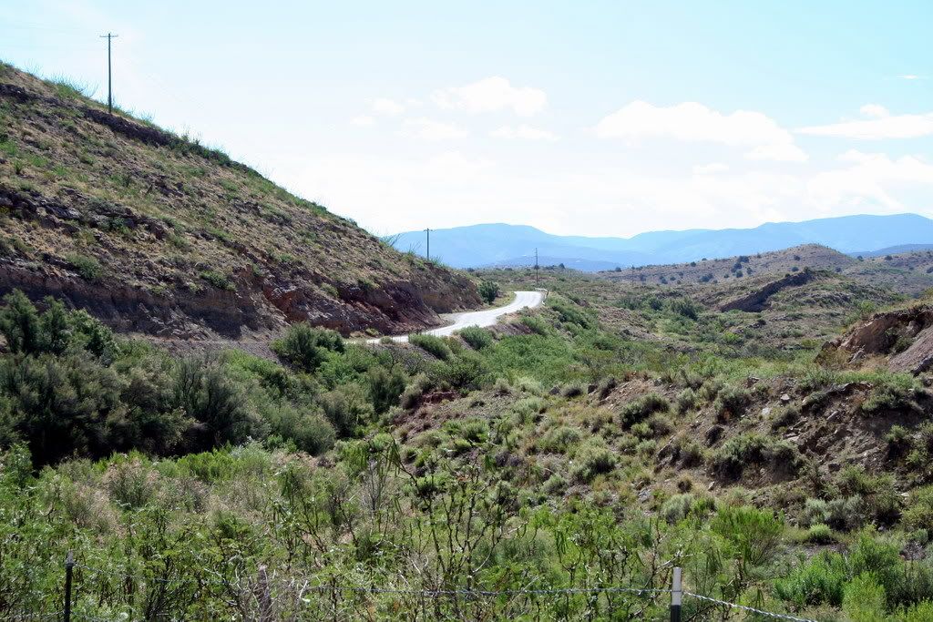
About 6 miles out of La Luz turn right on La Luz Canyon road (Forest Road 162B) -
not to be confused with Fresnal Creek road, which you will pass.
(Fresnal Creek road/FR162C is the back way to High Rolls.)
Heading east up La Luz Canyon Road:
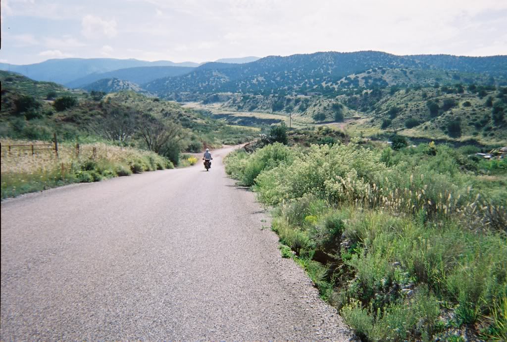
La Luz Canyon road pavement turns to dirt about three miles up-
you will pass by Calico Peak Road/FR162-
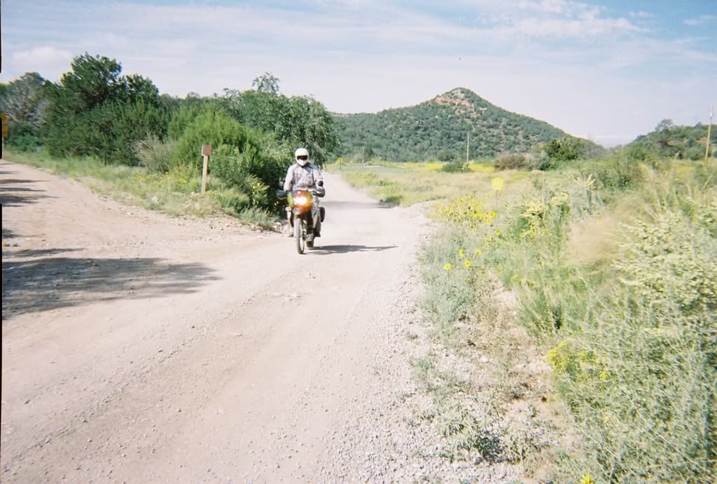
-this goes south to High Rolls. (Avoid Calico Peak and West Side Road road in wet conditions,
as the mud can be absolutely horrific if you get caught in even the slightest rain...)
FR162B becomes FR162 as it continues east:
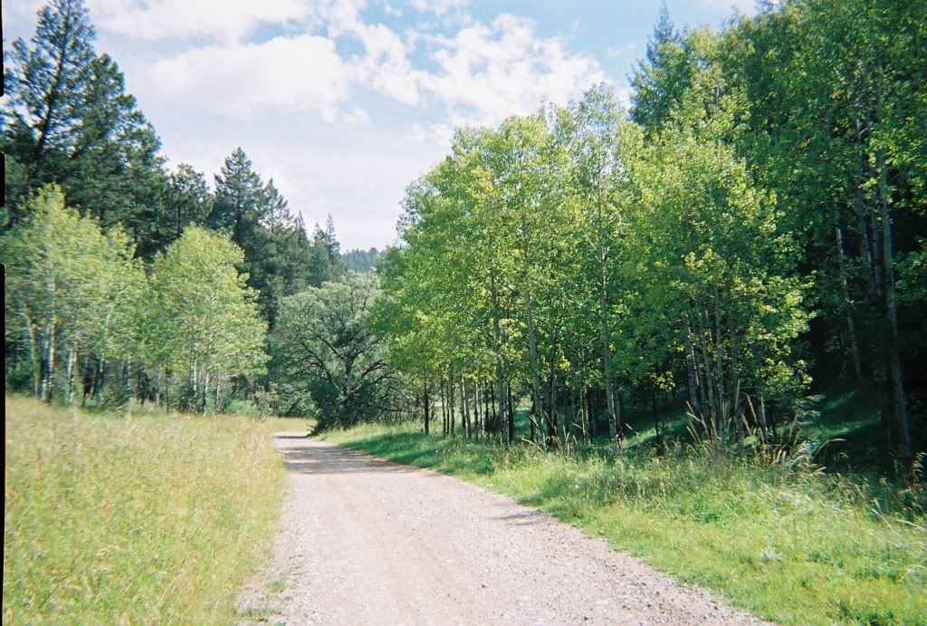
Further east on FR162 is the turnoff to the south for Bailey Canyon road/FR 206.
This road meets up with Hwy. 82 a few miles below/west of Cloudcroft.
But we continue east on FR162 over the hump to Silver Springs Canyon...
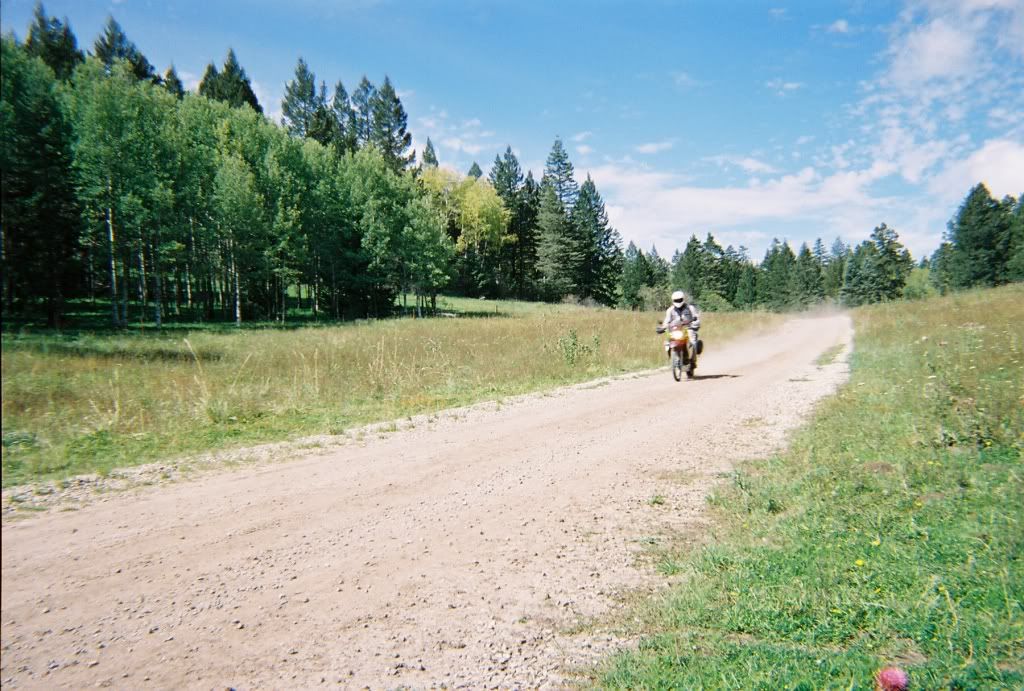
...where FR162 comes out at the paved 2-lane Hwy. 244
(to the right a few miles back is Cloudcroft.)
Turn left (NE) on 244...
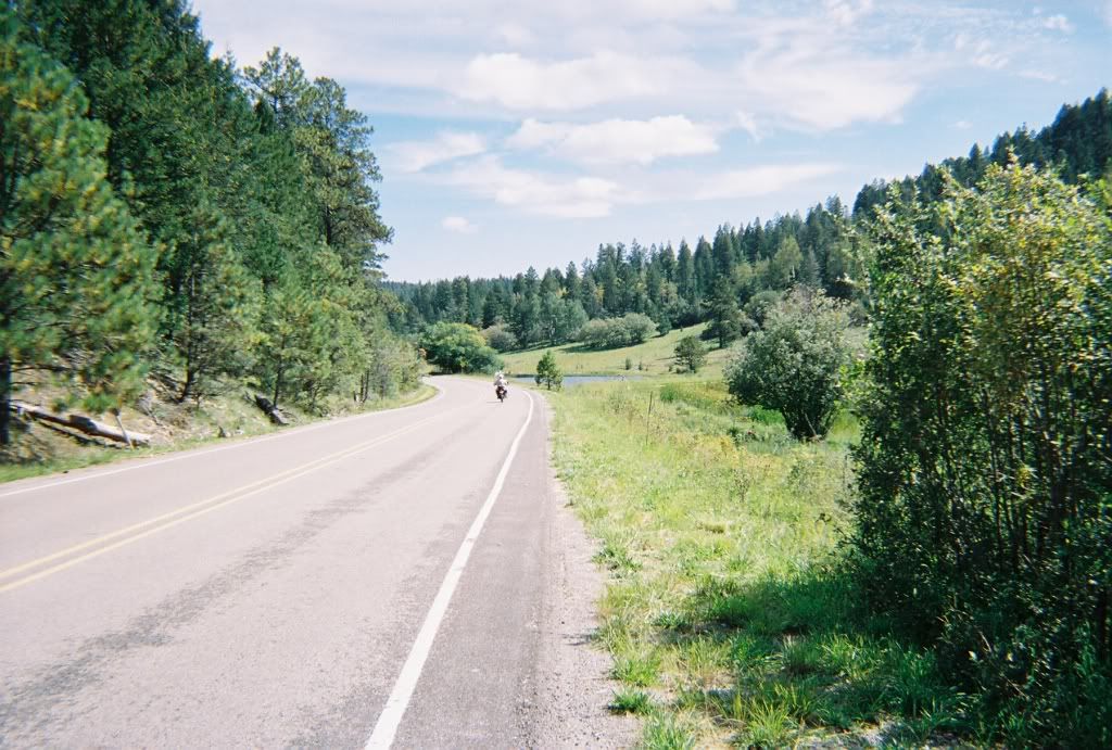
...and cruise through the res about 23 miles till you meet up with the 4-lane Hwy. 70
to Ruidoso. Turn right (east) there and 70 takes you into Ruidoso, or just before you roll
into Ruidoso you can take the turnoff to the Inn of the Mountain Gods. This is Carrizo road-
it’s well marked with a flashing sign, and will take you past the Apache Tribe's resort and lake-
this is the back way into Ruidoso, coming out on Mecham Drive. If you take a right on Mecham
and head east a few blocks you’ll see the Visitors Center & Two Rivers Park on the
North side of the street, where you can get info on all the happenings in the area,
including the Golden Aspen Motorcycle Rally...
Well, that’s the ride guide- Have a good run!
-ellsworth