Quote:
Originally Posted by stephen.stallebrass

it might be helpful (at least to me) if you could differentiate the summer roads and the graded federal roads and where they fit into the grand scheme of the M56 Kolyma highway network/Road of Bones.
|
At the risk of repeating some of which might be already known -
There is no Road of Bones!
This was the term given in Stalin's time to the entire network of roads in the Kolyma area built by Gulag prisoners. The name came from the human cost, said to be one life per metre of road. It is also said the bodies were buried into the road itself.
The term RoB is only used in the west, by the likes of HU and ADV travellers. Russians these days dont recognise the term and look at you quite blankly - but they do understand the Kolyma Highway.
Google 'Kolyma' for more of the history of the region.
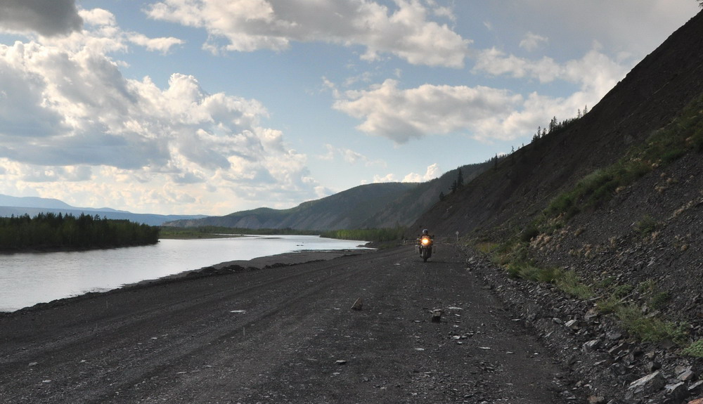
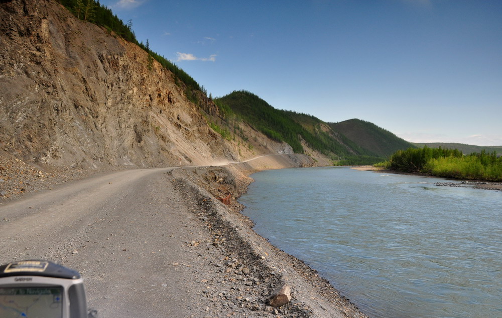
The Kolyma Highway is the M56 - a road maintained by the Federal Government i.e. central government of the Russian Federation, hence the term Federal Road.
Being a Federal Road means it has proper bridges, drainage run-offs and is regularly graded and repaired to be passable at all times. It does not mean a sealed surface - as the photos show.
Other roads in the area are the responsibility of local communities and are maintained on a very hap-hazard basis - if at all.
These are called Summer roads because they are passable (if you are lucky) in summer.
Winter roads are tracks or roads that are only passable when the ground or water beneath is frozen solid.
The M56 Kolyma Highway follows the route from Yakutsk, Khandigar, Kubeme(almost), Ust-Nera, Susuman, Orotukan , Palatka to Magadan. In Cyrillic (for those without my Altas!) Якуск, Хандыга, Кюбеме, Усть-Нера, Сусуман, Оротукан, Палатка, Магадан.
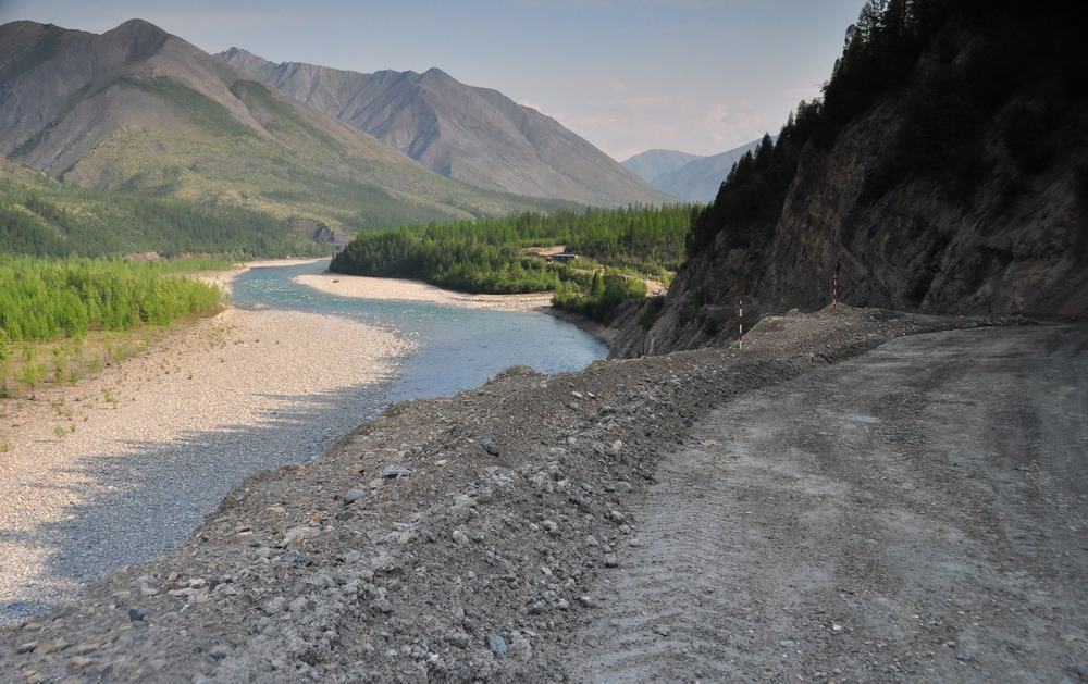
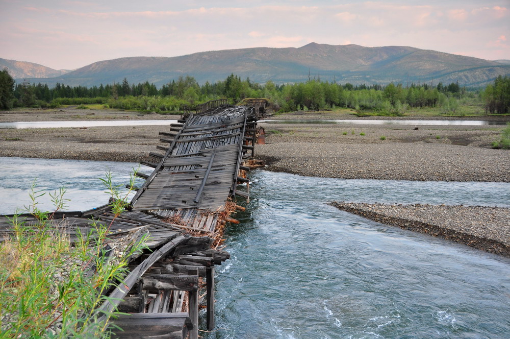
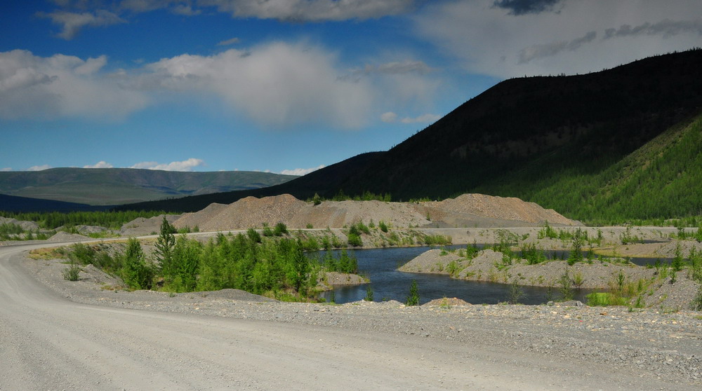
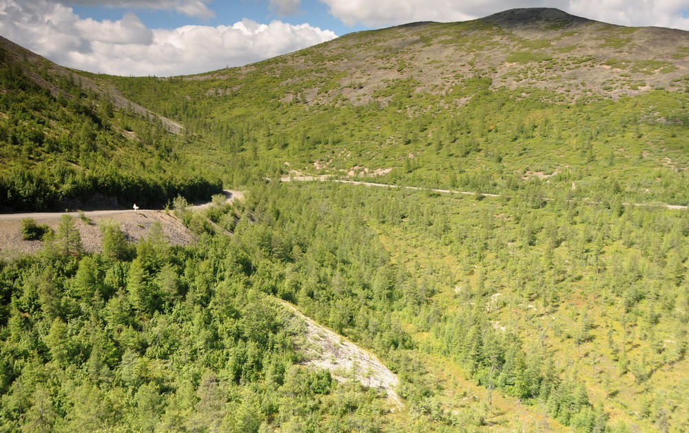
Photos 1, 2, 3, 5, 6, and 7 were all on the Federal Road.
The old bridge in 3 has been replaced by a concrete one from where the photo was taken.
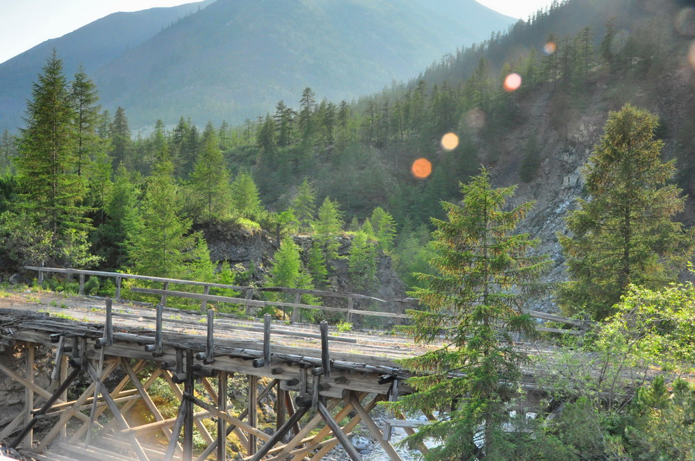
The bridge in 4 is at Kubeme, a half mile off the federal road, on the old summer road where Colebatch worked hard doing double duty last summer! That summer road (before the bridge collapsed and communities then ceased living along it) went due east from Kubeme, rejoining the federal road at Kadhikchan (Кадыкчан).
Photos 8 and 9 were on the western parts of another summer road by-passing Susuman/Ogotukan to the south, through Ust-Omchug (Уст-Омчуг) and rejoining the federal road at Palatka where it is tarmac/concrete for the cruise down to Magadan - and celebration

s!
Although I took the first one on Colebatch's camera, I must say they are all great photos of quite spectacular scenery (in my view only beaten by the north Baikal area on the BAM) - they make me want to go again!
Maybe I will!


 Simply breathtaking. Are these all what you would consider summer roads?
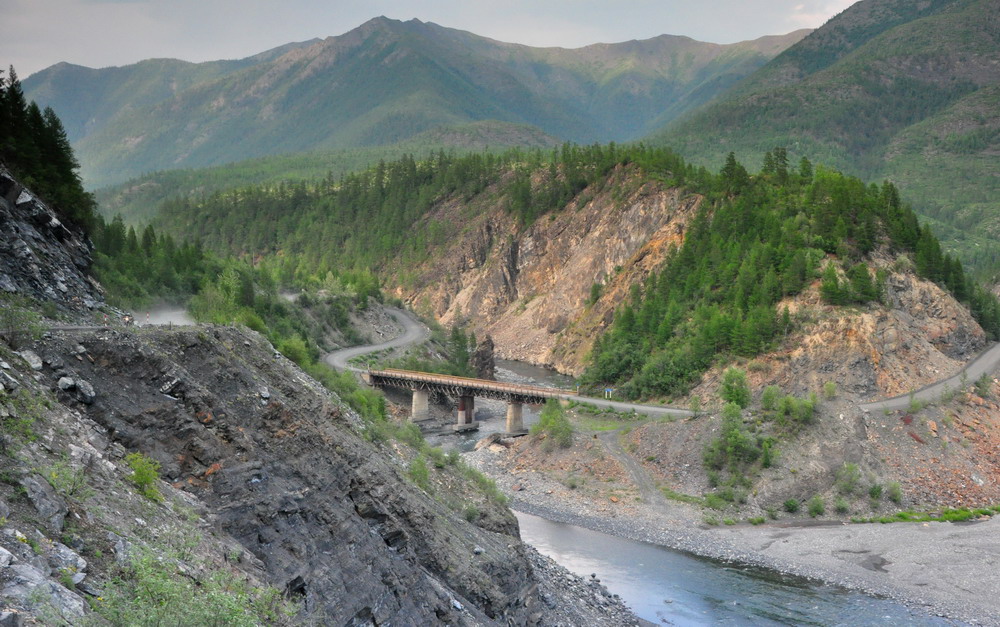


 Linear Mode


