 177Likes 177Likes
 |
|

13 Aug 2015
|
|
Contributing Member
Veteran HUBBer
|
|
Join Date: Jan 2011
Location: RTW, From Vancouver BC 2012
Posts: 3,579
|
|
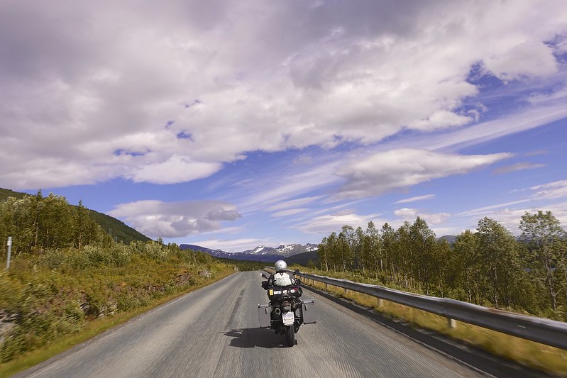
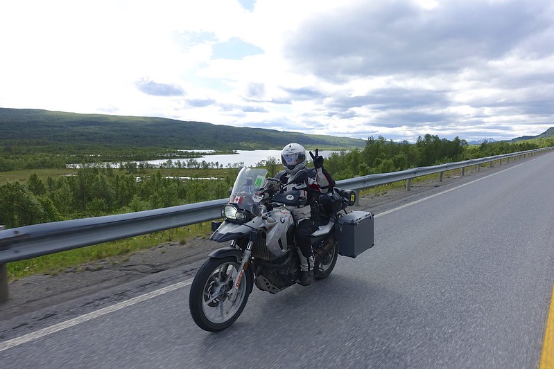
From here you get on the 70 and then the E39 and stay on it until Trondheim in 189 km. There are 2 sea tunnels. The first 7 km one is at the exit to the Atlantic road has the only manned tollbooth in the country and the only one that has a fee for motorcycles (61Kr = 10$). They know how to get the tourists! The second is like elsewhere there is no toll. Trondheim is a huge city on the E6 and we got thru with not too much traffic. The E6 becomes a 2-lane highway north of the city and the cars start to thin out.
 DSC02685 DSC02685 by Sara & Daniel Pedersen, on Flickr
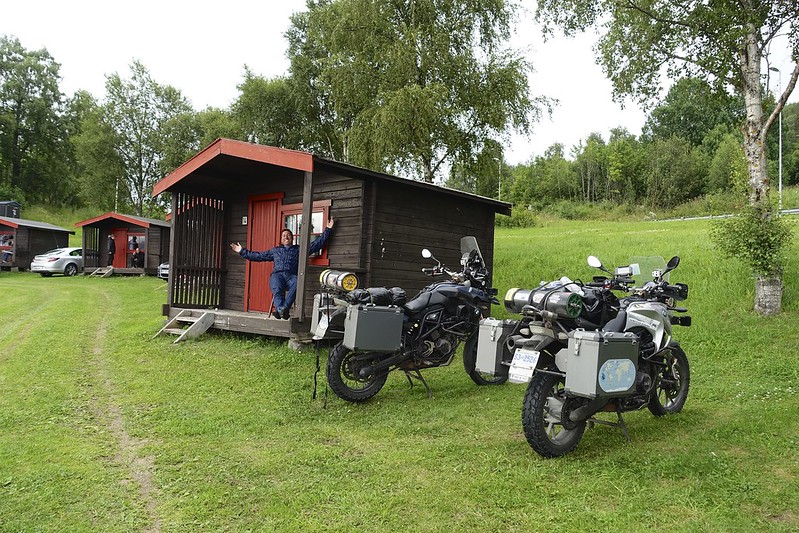
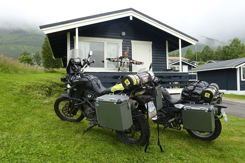
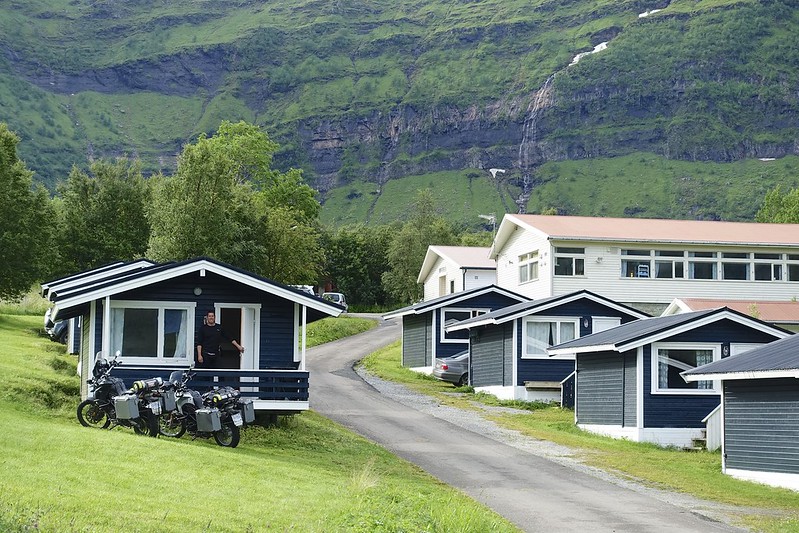
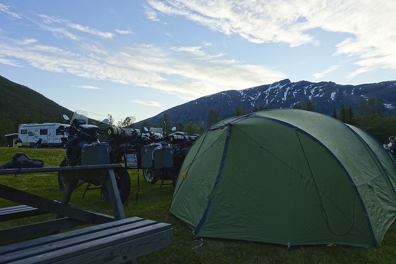
We stopped for the night just south of Verdalsora at the “KOA” campsite. We splurged as the price for a small cabin with power, heat and a small kitchen was 16 $ more than tent camping for 2 people with 2 motorbikes. Ahhh luxury!
 atlantic road 18 atlantic road 18 by Sara & Daniel Pedersen, on Flickr
|

13 Aug 2015
|
|
Contributing Member
Veteran HUBBer
|
|
Join Date: Jan 2011
Location: RTW, From Vancouver BC 2012
Posts: 3,579
|
|
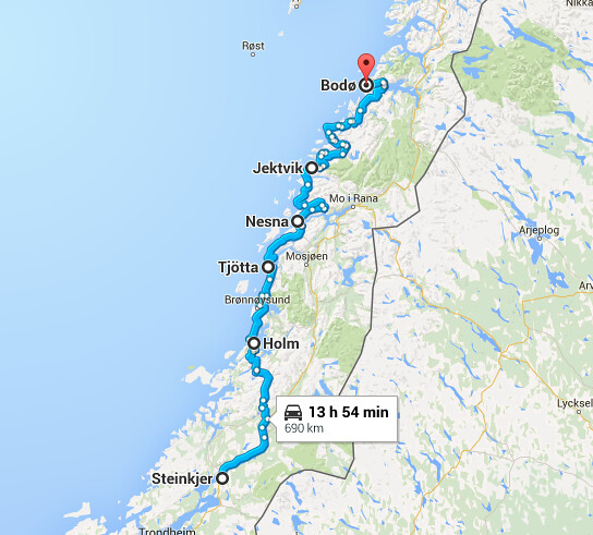
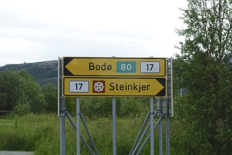
The distance from Steinkjer to Bodo is 690 km. There are six ferries along the Fv 17 that are from 10 to 60 min long crossings. The weather is supposed to be improving, but there is no evidence of this yet. It is just another 30 km north on the busy E6 until you turn onto the 17 when you reach Steinkjer, which is the gateway to the Kystriksveien or Coastal route to Bodo.
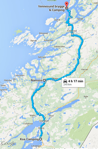
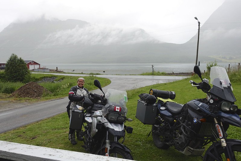
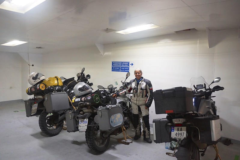
We started out late at 11 am in the rain again. From Steinkjer we drove the 77 km to Namsos with a fairly heavy traffic. Here the cars and RVs thin out and the road continues with twists and turns another 139 km to the first ferry at Holm. The last 100 km before the ferry it got very cold and it really started to pour. This is the unfun part of overland travel. The days you just want to go home. We had planned to go another 50 km after the ferry. We only had to wait about 10 minutes for the ferry. This is an enclosed boat and passengers have to leave the car deck. This meant a heated lounge and a hot coffee! Arriving in 20 minutes at Vennesund we were thrilled to see a camping site at the dock with small cabins. For not much more than camping we had a dry heated cabin with a small kitchenette. The other bonus was wifi fast enough to get in some Netflix. This was a great break from the horrible weather outside.
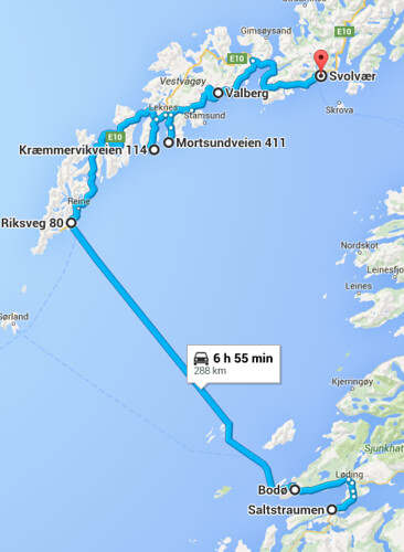
 Screen Shot 2015-08-02 at 7.32.58 PM Screen Shot 2015-08-02 at 7.32.58 PM by Sara & Daniel Pedersen, on Flickr
 Screen Shot 2015-07-24 at 9.40.21 PM Screen Shot 2015-07-24 at 9.40.21 PM by Sara & Daniel Pedersen, on Flickr
|

13 Aug 2015
|
|
Contributing Member
Veteran HUBBer
|
|
Join Date: Jan 2011
Location: RTW, From Vancouver BC 2012
Posts: 3,579
|
|
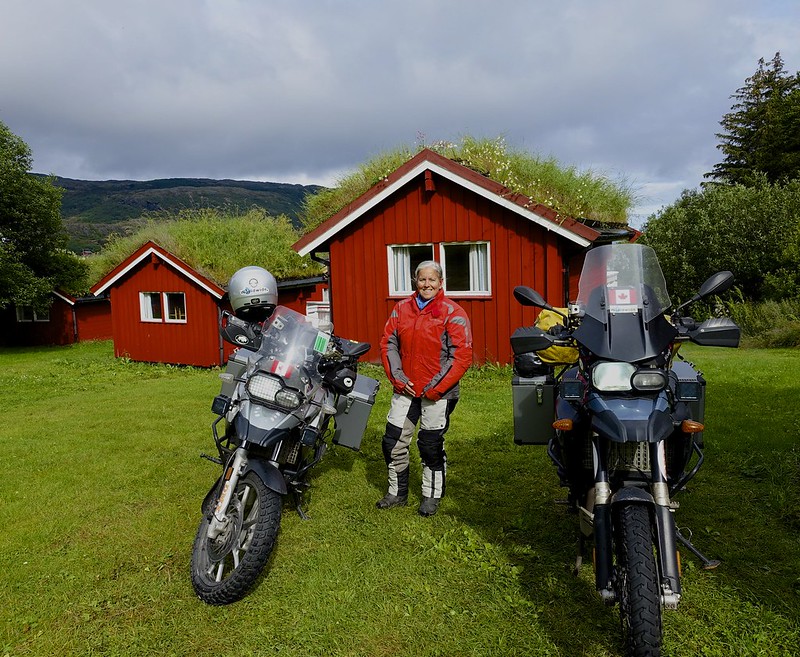
We were stoked to see only a light rain when we got up and then after an hour or so some sunshine.
 DSC02695 DSC02695 by Sara & Daniel Pedersen, on Flickr
Today our plan is to head towards Bodo and get as far as we can get.
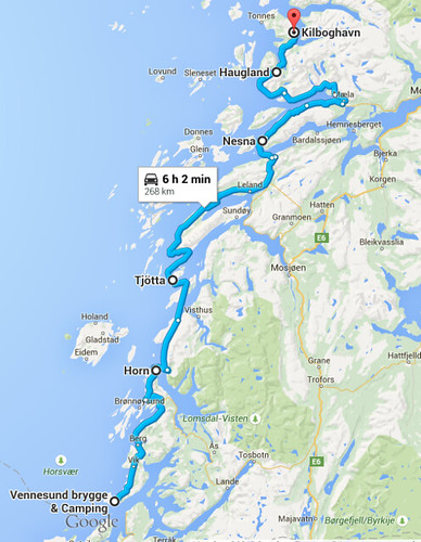 Screen Shot 2015-07-29 at 8.44.46 PM Screen Shot 2015-07-29 at 8.44.46 PM by Sara & Daniel Pedersen, on Flickr
The ferry schedules are timed here so you can make it from one to the next, but of course we were now out of the rotation. We waited until the rain had almost stopped before we packed up and stupidly we did not consult the ferry schedule. There is a 64 km drive to the ferry at horn, and we missed it by 10 minutes. This meant an hour plus wait for the next sailing. But this did make time for a snack.
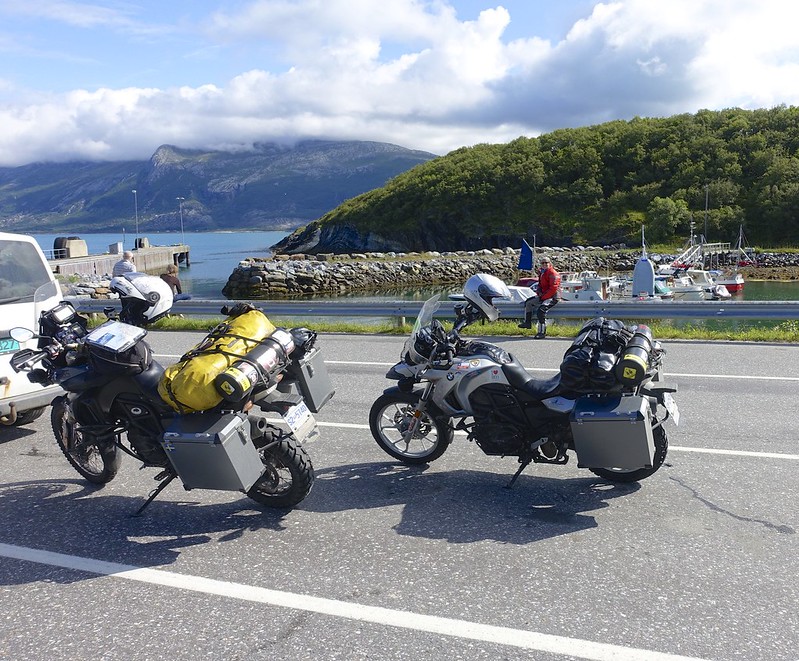 DSC02696 DSC02696 by Sara & Daniel Pedersen, on Flickr
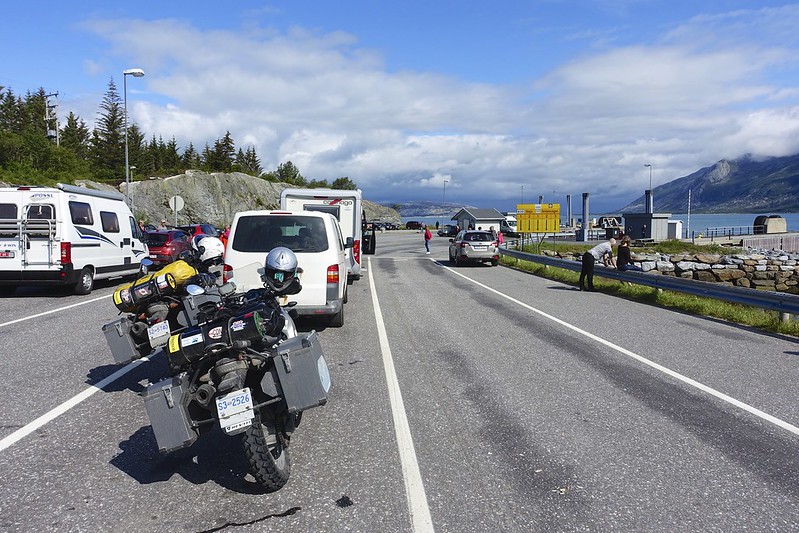 DSC02698 DSC02698 by Sara & Daniel Pedersen, on Flickr
|

13 Aug 2015
|
|
Contributing Member
Veteran HUBBer
|
|
Join Date: Jan 2011
Location: RTW, From Vancouver BC 2012
Posts: 3,579
|
|
The crossing was again 20 minutes to Anddalsvag.
 DSC02699 DSC02699 by Sara & Daniel Pedersen, on Flickr
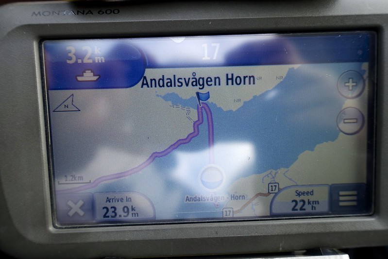 DSC02700 DSC02700 by Sara & Daniel Pedersen, on Flickr
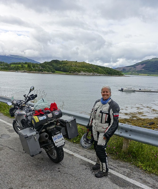
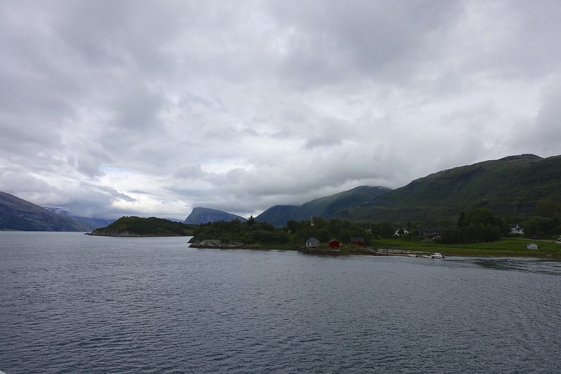
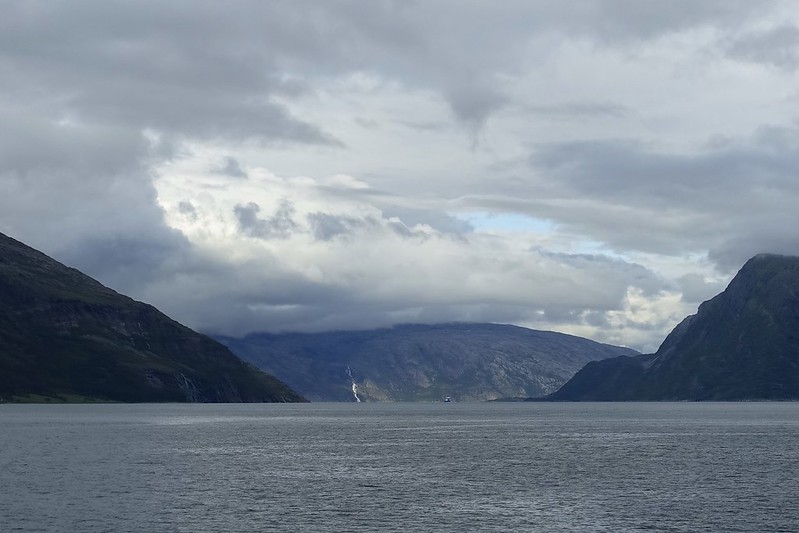
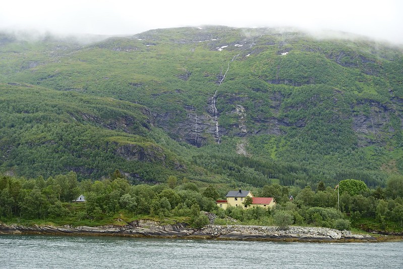
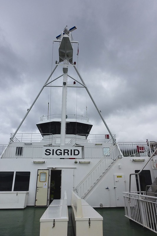
Then everyone races the 17 km to the dock at Forvik because if you miss this boat the next is in 2 hours. There is a 60-minute crossing to Tjotta with the option to get off at 3 smaller islands on the way if you wish. From here it is another 71 km to Levang, but since we now had the schedule worked out we had time to stop for some groceries on the way. The road here is big sweeping turns thru the countryside. This last crossing today to Nesna was 25 minutes. There is also a nice church and museum on the way. This is the most beautiful of the islands with snow-capped mountains and the road curving along the fjords. There are two 3 km very narrow and poorly lit tunnels on route.
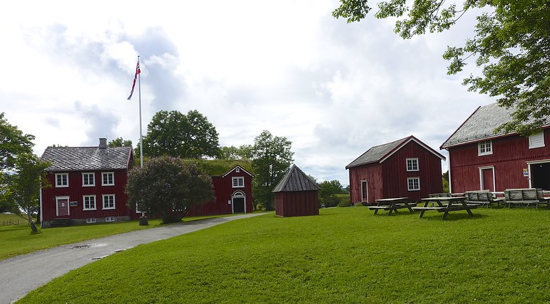 DSC02702 DSC02702 by Sara & Daniel Pedersen, on Flickr
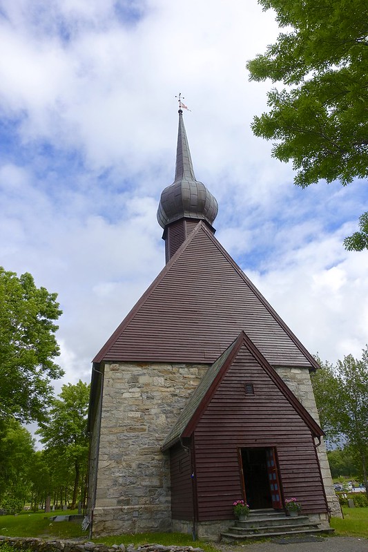 DSC02703 DSC02703 by Sara & Daniel Pedersen, on Flickr
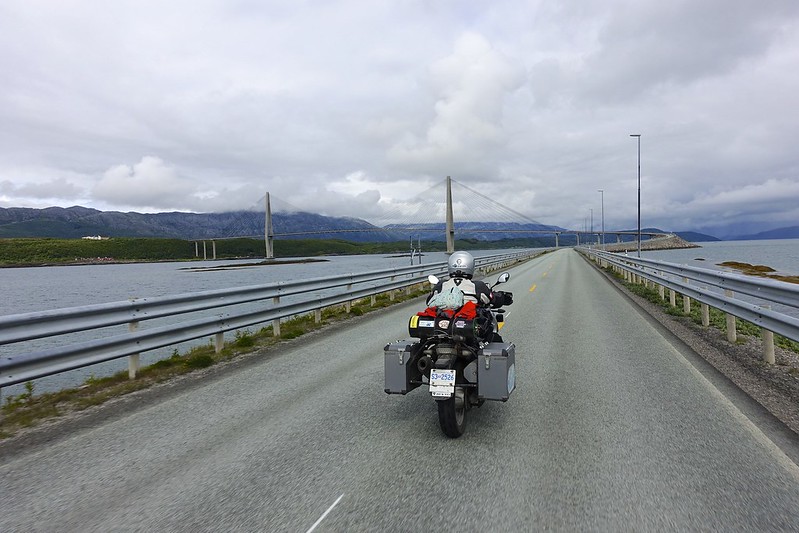 DSC02708 DSC02708 by Sara & Daniel Pedersen, on Flickr
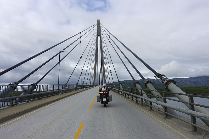 DSC02716 DSC02716 by Sara & Daniel Pedersen, on Flickr
 DSC02728 DSC02728 by Sara & Daniel Pedersen, on Flickr
 DSC02729 DSC02729 by Sara & Daniel Pedersen, on Flickr
 DSC02739 DSC02739 by Sara & Daniel Pedersen, on Flickr
 DSC02733 DSC02733 by Sara & Daniel Pedersen, on Flickr
 DSC02738 DSC02738 by Sara & Daniel Pedersen, on Flickr
|

13 Aug 2015
|
|
Contributing Member
Veteran HUBBer
|
|
Join Date: Jan 2011
Location: RTW, From Vancouver BC 2012
Posts: 3,579
|
|
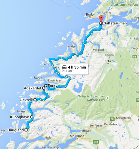
Leaving in the morning it had improved to cloudy with occasional showers. But at least we had figured out the ferry schedules.
 Screen Shot 2015-07-29 at 8.47.02 PM Screen Shot 2015-07-29 at 8.47.02 PM by Sara & Daniel Pedersen, on Flickr
 DSC02741 DSC02741 by Sara & Daniel Pedersen, on Flickr
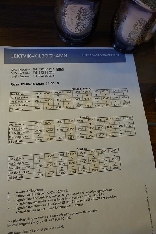
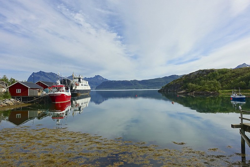
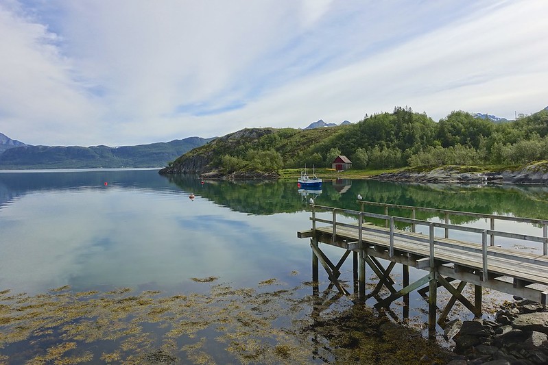
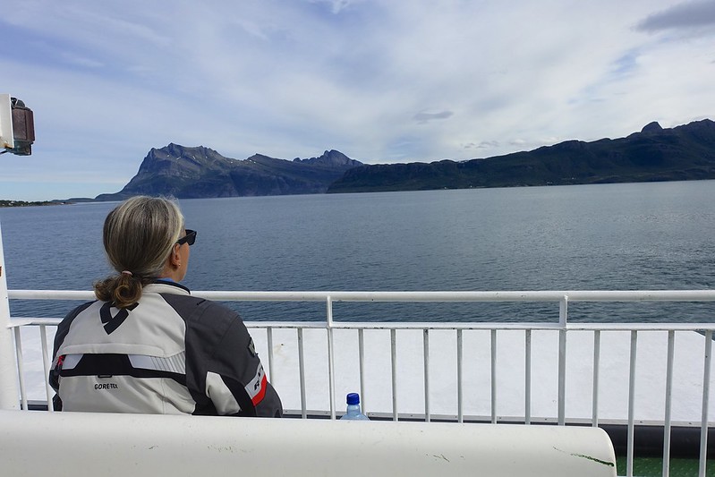
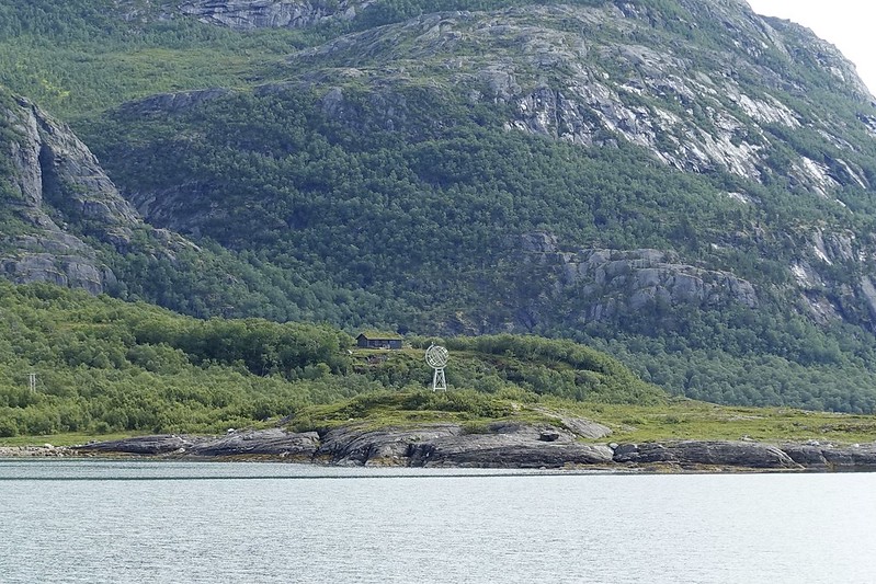
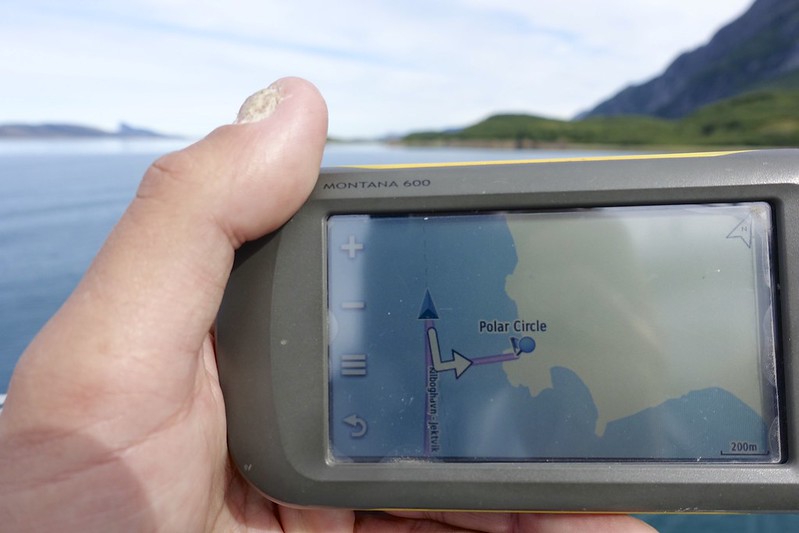
We had just a 30 km drive to catch the 10 am ferry from Kiboghamn to Jetvik, which is 60 minutes and you cross the Arctic Circle after about 40 minutes.
 saltstraumen 1 saltstraumen 1 by Sara & Daniel Pedersen, on Flickr
 saltstraumen 2 saltstraumen 2 by Sara & Daniel Pedersen, on Flickr
 saltstraumen 3 saltstraumen 3 by Sara & Daniel Pedersen, on Flickr
 saltstraumen 5 saltstraumen 5 by Sara & Daniel Pedersen, on Flickr
 saltstraumen 6 saltstraumen 6 by Sara & Daniel Pedersen, on Flickr
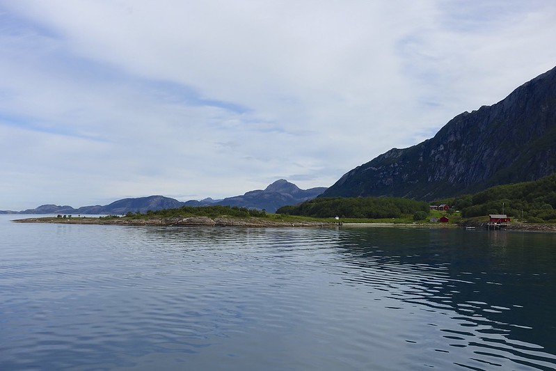 saltstraumen 7 saltstraumen 7 by Sara & Daniel Pedersen, on Flickr
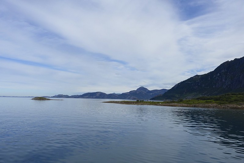 saltstraumen 9 saltstraumen 9 by Sara & Daniel Pedersen, on Flickr
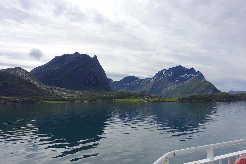 saltstraumen 10 saltstraumen 10 by Sara & Daniel Pedersen, on Flickr
 saltstraumen 13 saltstraumen 13 by Sara & Daniel Pedersen, on Flickr
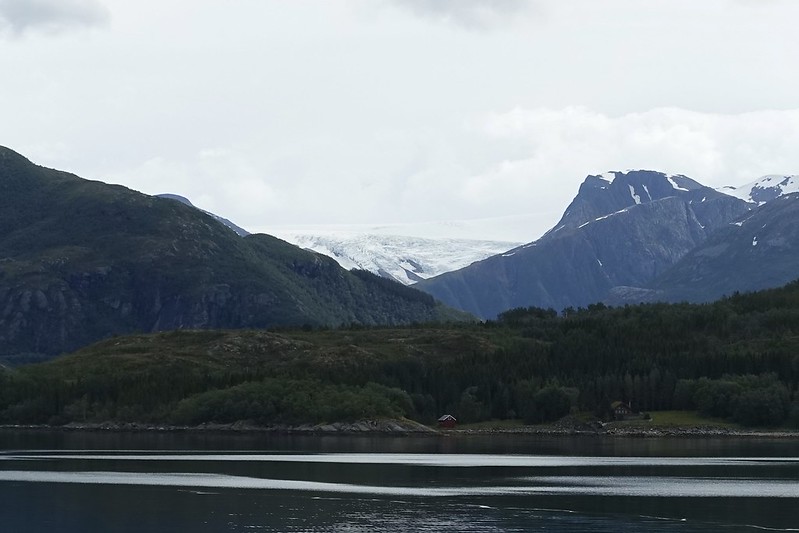 saltstraumen 14 saltstraumen 14 by Sara & Daniel Pedersen, on Flickr
|

13 Aug 2015
|
|
Contributing Member
Veteran HUBBer
|
|
Join Date: Jan 2011
Location: RTW, From Vancouver BC 2012
Posts: 3,579
|
|
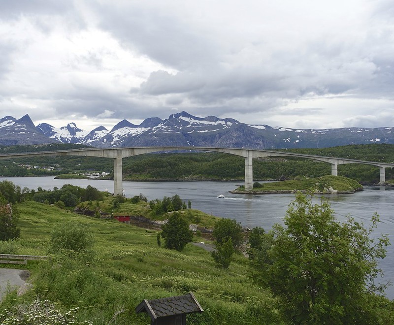
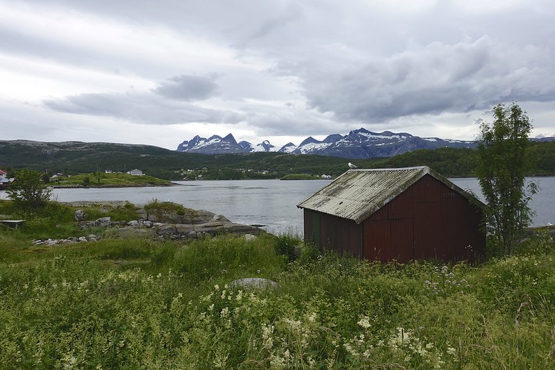
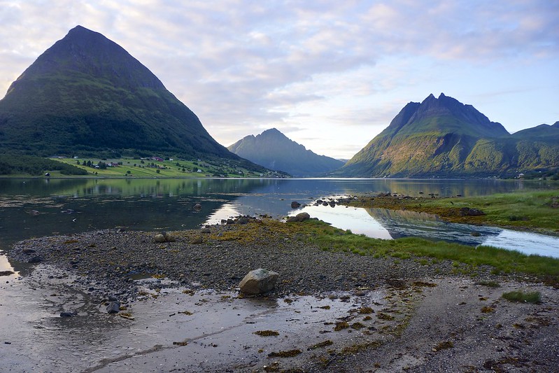
You stay on the 17 north another 143 km of winding road along the fjords to arrive at Saltstraumen. This is a small strait with the strongest tidal current in the world. Up to 400,000,000 cubic meters of water flow thru the 3 km long and 150 meter wide strait every 6 hours. Water speeds reach 41 km/h and vortexes or maelstroms form that are up to 10 meters wide. We went down to see the water flow at the low flow so we were really impressed when we saw it at high slow. The vortexes were so huge they were like volcanic craters.
 saltstraumen 20 saltstraumen 20 by Sara & Daniel Pedersen, on Flickr
 saltstraumen 21 saltstraumen 21 by Sara & Daniel Pedersen, on Flickr
|

13 Aug 2015
|
|
Contributing Member
Veteran HUBBer
|
|
Join Date: Jan 2011
Location: RTW, From Vancouver BC 2012
Posts: 3,579
|
|
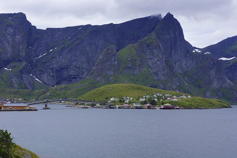
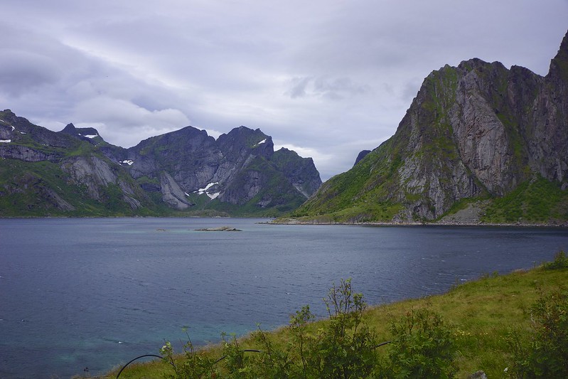
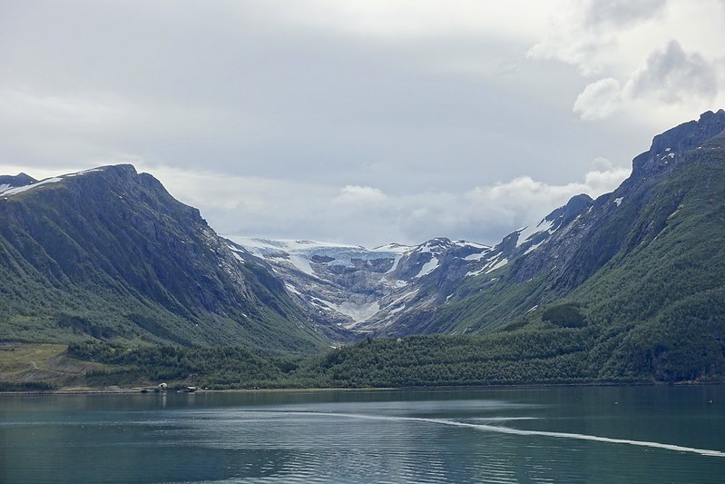
Lofoten is an archipelago that even though it lies above the Arctic Circle it has very mild temperatures for this latitude due to the Gulf Stream. There is evidence of human settlement here for 11,000 years. There are 6 major islands, several minor, and hundreds of small islands connected by causeways and bridges. We unloaded the ferry to light rain. The islands are known for the coastal fishing villages, high mountain peaks, and protected harbors. The weather worsened, but still we tried to navigate some of the small roads to the remote villages.
 DSC03411 DSC03411 by Sara & Daniel Pedersen, on Flickr
 DSC03413 DSC03413 by Sara & Daniel Pedersen, on Flickr
 DSC03414 DSC03414 by Sara & Daniel Pedersen, on Flickr
|

13 Aug 2015
|
|
Contributing Member
Veteran HUBBer
|
|
Join Date: Jan 2011
Location: RTW, From Vancouver BC 2012
Posts: 3,579
|
|
Finally we had had enough by 4 pm and found a campsite just north of the largest town of Svolvaer. We did have some breaks in the rain for a bit of a walk along the shore.
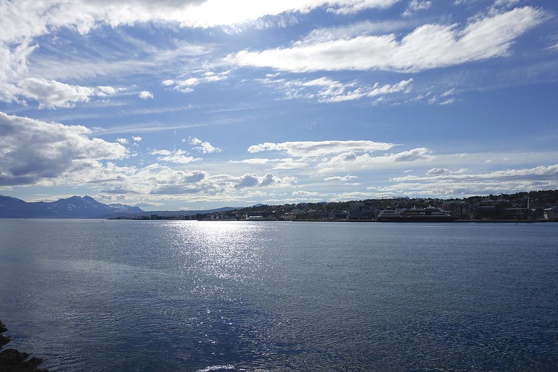
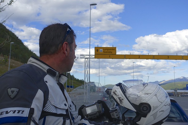
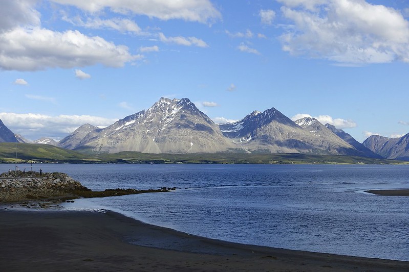
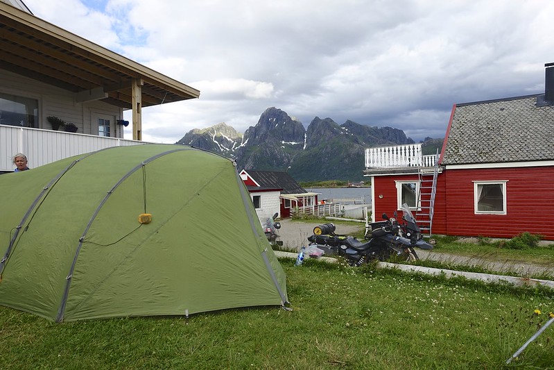 rotsundelv 2 rotsundelv 2 by Sara & Daniel Pedersen, on Flickr
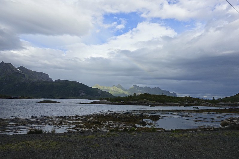 rotsundelv 3 rotsundelv 3 by Sara & Daniel Pedersen, on Flickr
|

13 Aug 2015
|
|
Contributing Member
Veteran HUBBer
|
|
Join Date: Jan 2011
Location: RTW, From Vancouver BC 2012
Posts: 3,579
|
|
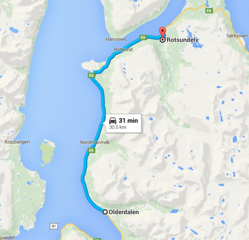
It rained hard all night, which makes for a poor night sleep. It was still raining hard when we were packing up, which is always crappy. We headed out again on the E 10 north and after about 45 minutes we started to see blue sky ahead.
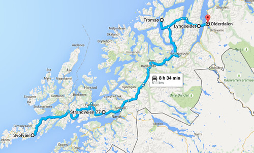 Screen Shot 2015-07-29 at 8.53.16 PM Screen Shot 2015-07-29 at 8.53.16 PM by Sara & Daniel Pedersen, on Flickr
By an hour it was SUNNY and even hot. We pulled over to a rest stop and put up the tent to dry it out in less than 10 minutes.
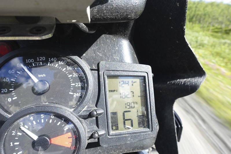 rotsundelv 4 rotsundelv 4 by Sara & Daniel Pedersen, on Flickr
|

13 Aug 2015
|
|
Contributing Member
Veteran HUBBer
|
|
Join Date: Jan 2011
Location: RTW, From Vancouver BC 2012
Posts: 3,579
|
|
The day started out with nice weather, but that changed quickly. Within 30 minutes we were riding in the pouring rain. We did however finally see a reindeer today and the Nordkapp sign for 240 KM!
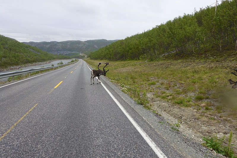 hammerfest 1 hammerfest 1 by Sara & Daniel Pedersen, on Flickr
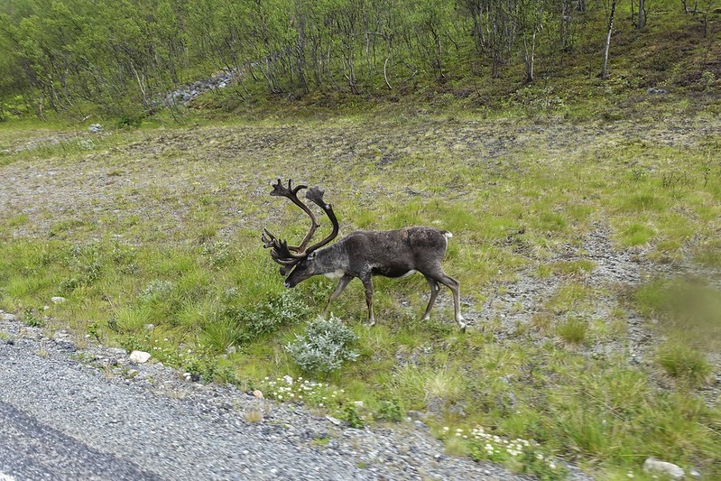 hammerfest 3 hammerfest 3 by Sara & Daniel Pedersen, on Flickr
We had originally planned to try to make it near to the North Cape today, but really we had had enough of the cold and pouring rain by 3 pm and we made for Hammerfest, which is by the way the most northerly city in the world.
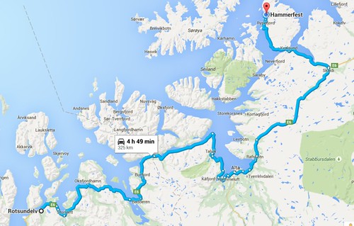 Screen Shot 2015-07-29 at 8.55.07 PM Screen Shot 2015-07-29 at 8.55.07 PM by Sara & Daniel Pedersen, on Flickr
|
|
Currently Active Users Viewing This Thread: 73 (0 Registered Users and/or Members and 73 guests)
|
|
|
 Posting Rules
|
You may not post new threads
You may not post replies
You may not post attachments
You may not edit your posts
HTML code is Off
|
|
|
|

Check the RAW segments; Grant, your HU host is on every month!
Episodes below to listen to while you, err, pretend to do something or other...

2020 Edition of Chris Scott's Adventure Motorcycling Handbook.
"Ultimate global guide for red-blooded bikers planning overseas exploration. Covers choice & preparation of best bike, shipping overseas, baggage design, riding techniques, travel health, visas, documentation, safety and useful addresses." Recommended. (Grant)

Led by special operations veterans, Stanford Medicine affiliated physicians, paramedics and other travel experts, Ripcord is perfect for adventure seekers, climbers, skiers, sports enthusiasts, hunters, international travelers, humanitarian efforts, expeditions and more.
Ripcord Rescue Travel Insurance™ combines into a single integrated program the best evacuation and rescue with the premier travel insurance coverages designed for adventurers and travel is covered on motorcycles of all sizes.
(ONLY US RESIDENTS and currently has a limit of 60 days.)
Ripcord Evacuation Insurance is available for ALL nationalities.
What others say about HU...
"This site is the BIBLE for international bike travelers." Greg, Australia
"Thank you! The web site, The travels, The insight, The inspiration, Everything, just thanks." Colin, UK
"My friend and I are planning a trip from Singapore to England... We found (the HU) site invaluable as an aid to planning and have based a lot of our purchases (bikes, riding gear, etc.) on what we have learned from this site." Phil, Australia
"I for one always had an adventurous spirit, but you and Susan lit the fire for my trip and I'll be forever grateful for what you two do to inspire others to just do it." Brent, USA
"Your website is a mecca of valuable information and the (video) series is informative, entertaining, and inspiring!" Jennifer, Canada
"Your worldwide organisation and events are the Go To places to for all serious touring and aspiring touring bikers." Trevor, South Africa
"This is the answer to all my questions." Haydn, Australia
"Keep going the excellent work you are doing for Horizons Unlimited - I love it!" Thomas, Germany
Lots more comments here!

Every book a diary
Every chapter a day
Every day a journey
Refreshingly honest and compelling tales: the hights and lows of a life on the road. Solo, unsupported, budget journeys of discovery.
Authentic, engaging and evocative travel memoirs, overland, around the world and through life.
All 8 books available from the author or as eBooks and audio books
Back Road Map Books and Backroad GPS Maps for all of Canada - a must have!
New to Horizons Unlimited?
New to motorcycle travelling? New to the HU site? Confused? Too many options? It's really very simple - just 4 easy steps!
Horizons Unlimited was founded in 1997 by Grant and Susan Johnson following their journey around the world on a BMW R80G/S.
 Read more about Grant & Susan's story
Membership - help keep us going!
Horizons Unlimited is not a big multi-national company, just two people who love motorcycle travel and have grown what started as a hobby in 1997 into a full time job (usually 8-10 hours per day and 7 days a week) and a labour of love. To keep it going and a roof over our heads, we run events all over the world with the help of volunteers; we sell inspirational and informative DVDs; we have a few selected advertisers; and we make a small amount from memberships.
You don't have to be a Member to come to an HU meeting, access the website, or ask questions on the HUBB. What you get for your membership contribution is our sincere gratitude, good karma and knowing that you're helping to keep the motorcycle travel dream alive. Contributing Members and Gold Members do get additional features on the HUBB. Here's a list of all the Member benefits on the HUBB.
|
|
|





 177Likes












 Linear Mode


