 177Likes 177Likes
 |
|

13 Aug 2015
|
|
Contributing Member
Veteran HUBBer
|
|
Join Date: Jan 2011
Location: RTW, From Vancouver BC 2012
Posts: 3,579
|
|
This is an oil and gas town mostly and there are few tourists. The hotel had a 70% off sale because of some construction so we jumped at the change for a bit of luxury. We braved the weather to try and get in a walk and found ourselves at the Royal and Ancient Polar Bear Society. This is a small free museum in the downtown. There are mementos of early life here in Hammerfest, a lot of stuffed animals, and historical photographs.
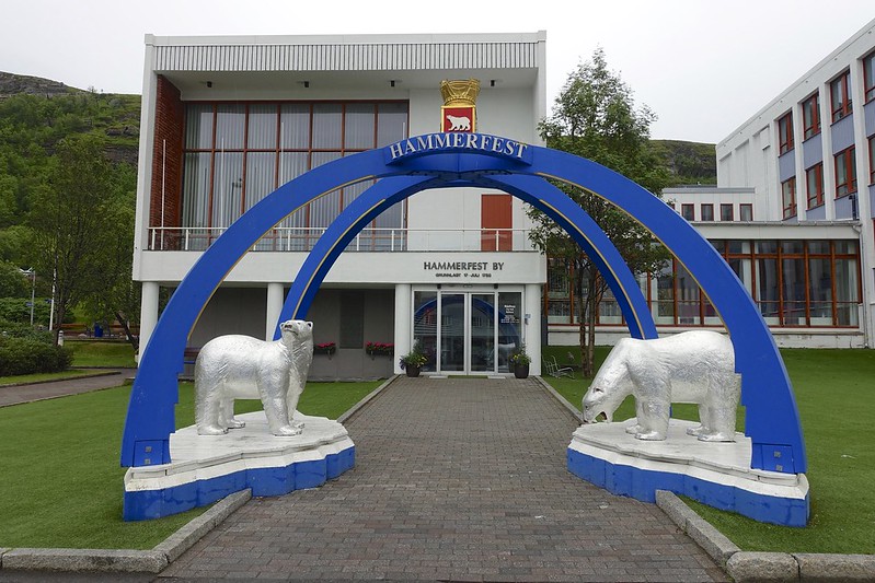 hammerfest 8 hammerfest 8 by Sara & Daniel Pedersen, on Flickr
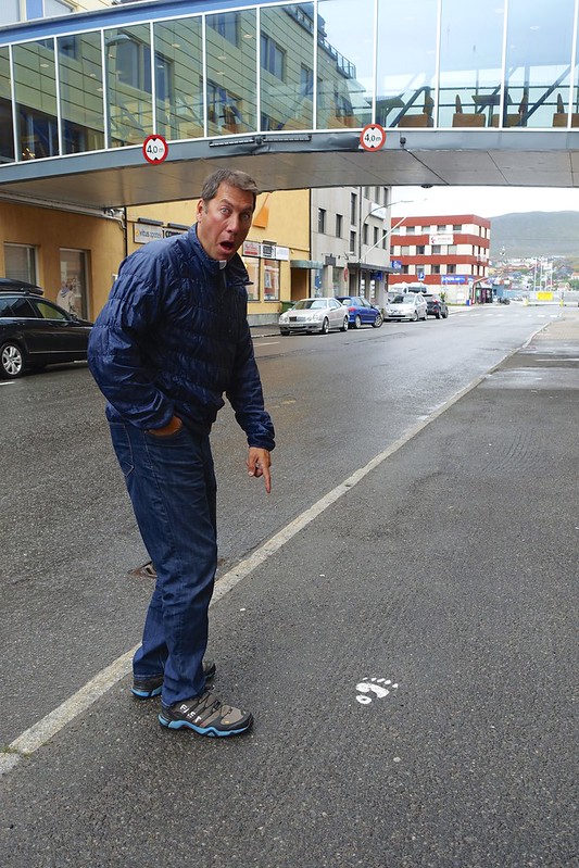 hammerfest 4 hammerfest 4 by Sara & Daniel Pedersen, on Flickr
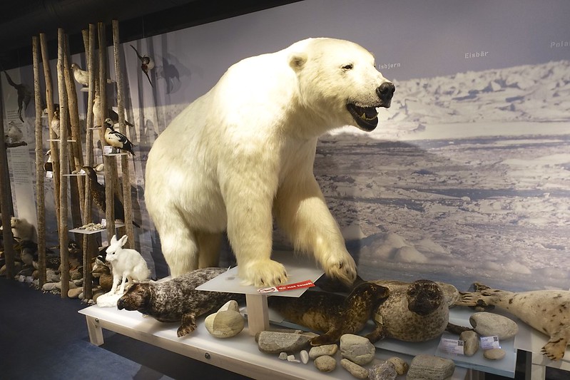 hammerfest 5 hammerfest 5 by Sara & Daniel Pedersen, on Flickr
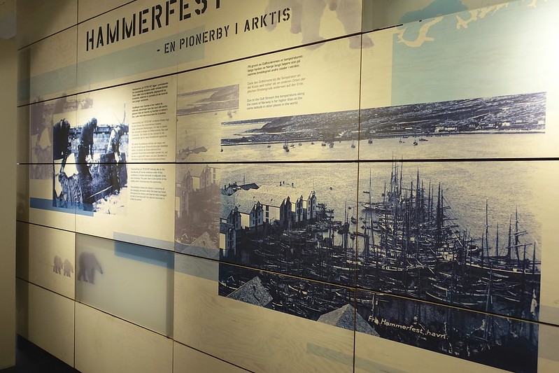 hammerfest 6 hammerfest 6 by Sara & Daniel Pedersen, on Flickr
|

13 Aug 2015
|
|
Contributing Member
Veteran HUBBer
|
|
Join Date: Jan 2011
Location: RTW, From Vancouver BC 2012
Posts: 3,579
|
|
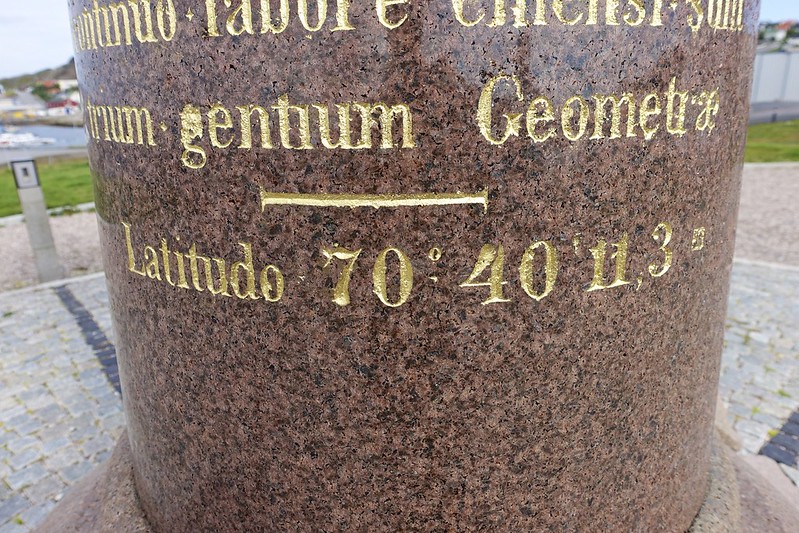
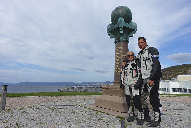
What an incredible difference a day makes since today it is 17 and sunny! There are very few sunny days at the North Cape and so we are starting to feel we might get lucky. Before leaving town we checked out the Struve Geodetic Arc.
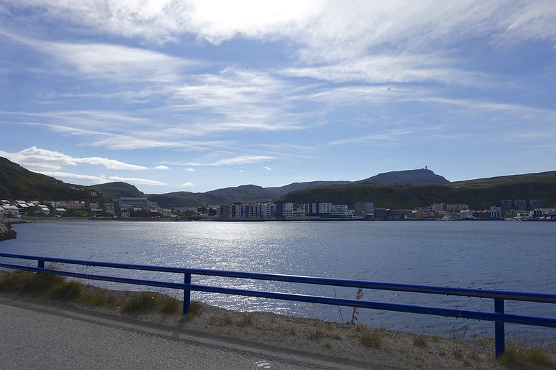 DSC02858 DSC02858 by Sara & Daniel Pedersen, on Flickr
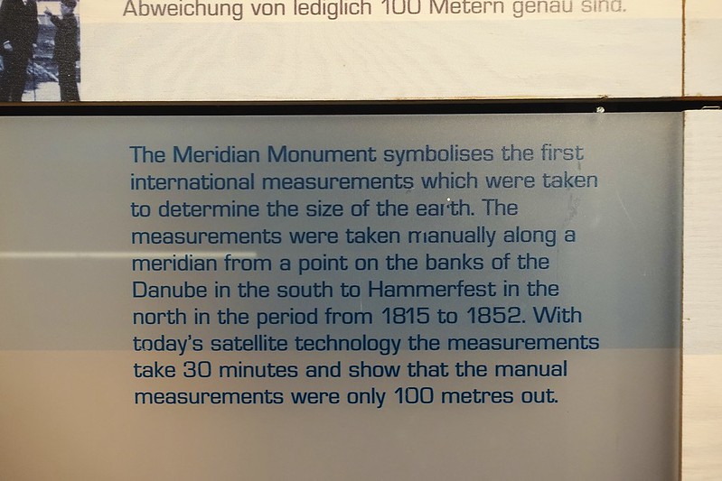 hammerfest 7 hammerfest 7 by Sara & Daniel Pedersen, on Flickr
“The Struve Arc is a chain of survey triangulations stretching from Hammerfest in Norway to the Black Sea, through 10 countries and over 2,820 km. These are points of a survey, carried out between 1816 and 1855 by the astronomer Friedrich Georg Wilhelm Struve, which represented the first accurate measuring of a long segment of a meridian. This helped to establish the exact size and shape of the planet and marked an important step in the development of earth sciences and topographic mapping. It is an extraordinary example of scientific collaboration among scientists from different countries, and of collaboration between monarchs for a scientific cause. The original arc consisted of 258 main triangles with 265 main station points. The listed site includes 34 of the original station points, with different markings, i.e. a drilled hole in rock, iron cross, cairns, or built obelisks.” Wikipedia
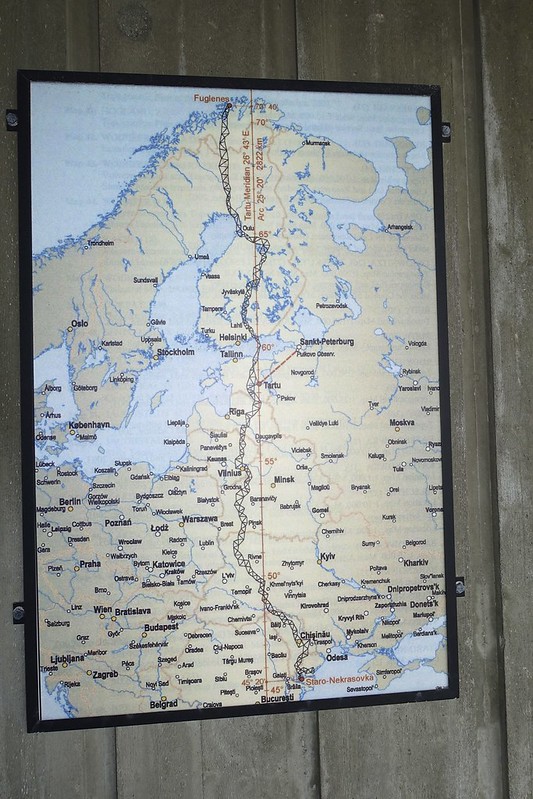 DSC02852 DSC02852 by Sara & Daniel Pedersen, on Flickr
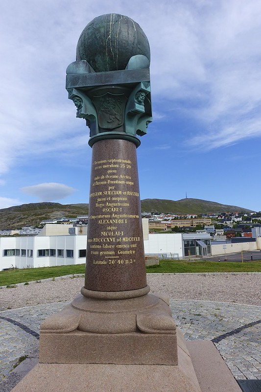 DSC02854 DSC02854 by Sara & Daniel Pedersen, on Flickr
 DSC02855 DSC02855 by Sara & Daniel Pedersen, on Flickr
 DSC02857 DSC02857 by Sara & Daniel Pedersen, on Flickr
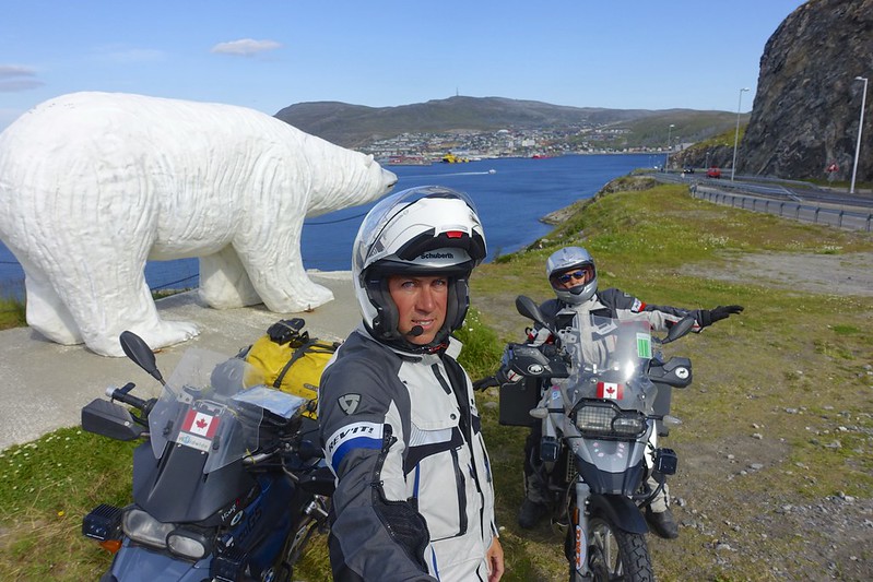
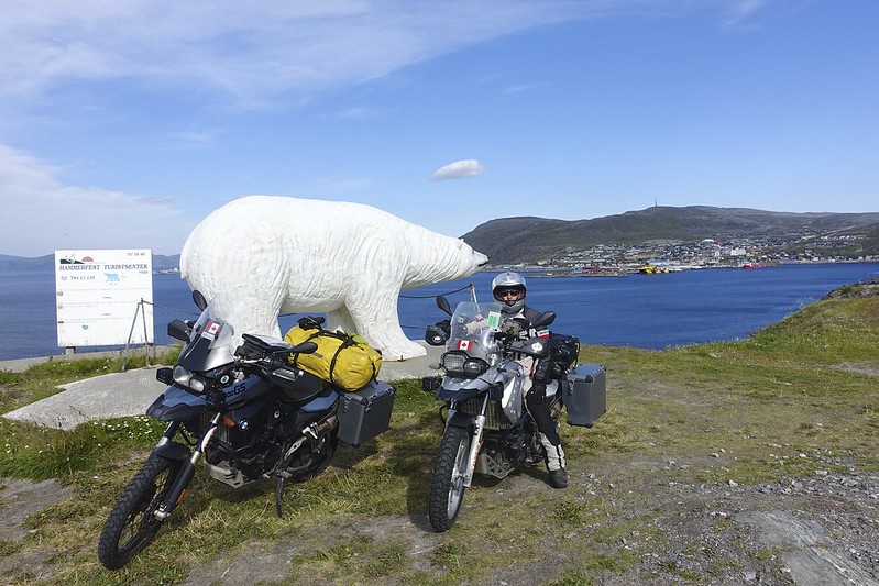
The replica of the largest Polar bear found is here also and makes a great photo op.
 DSC02863 DSC02863 by Sara & Daniel Pedersen, on Flickr
 DSC02869 DSC02869 by Sara & Daniel Pedersen, on Flickr
|

13 Aug 2015
|
|
Contributing Member
Veteran HUBBer
|
|
Join Date: Jan 2011
Location: RTW, From Vancouver BC 2012
Posts: 3,579
|
|
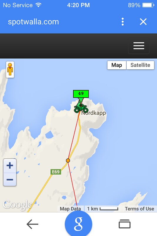
The ride today is a backtrack the 55 km to the E6 and then go east 97 km to the E69 and then north 128 KM to the North Cape.
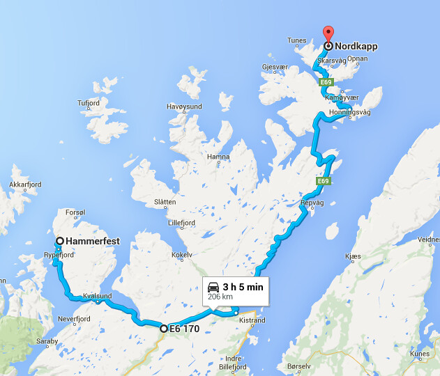 Screen Shot 2015-08-08 at 7.03.41 PM Screen Shot 2015-08-08 at 7.03.41 PM by Sara & Daniel Pedersen, on Flickr
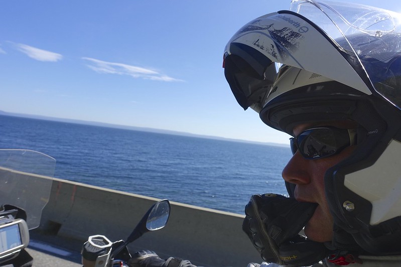
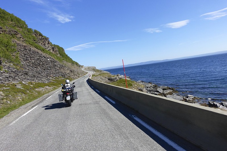
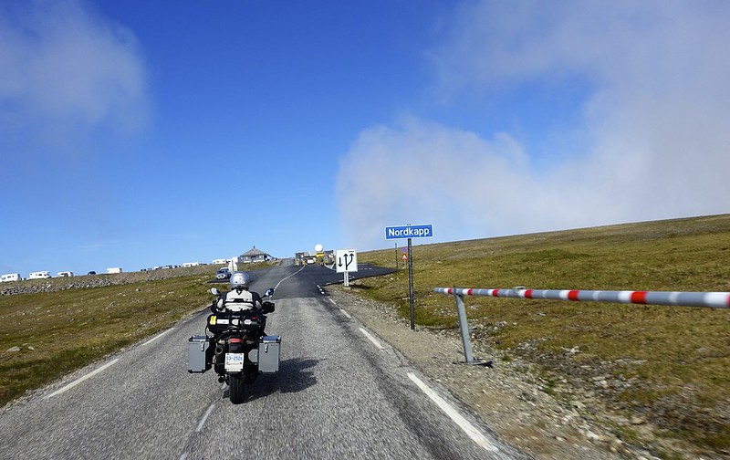
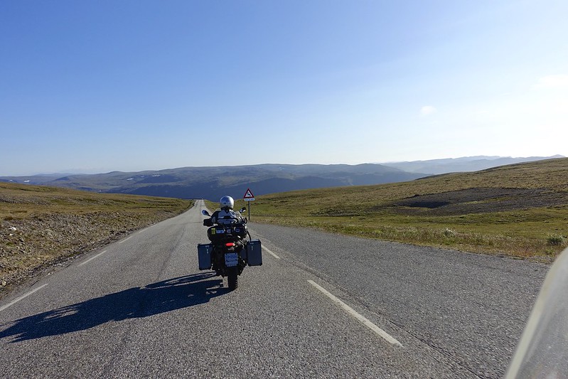
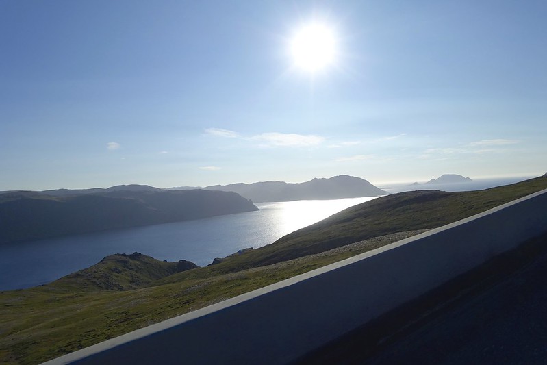
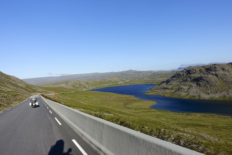
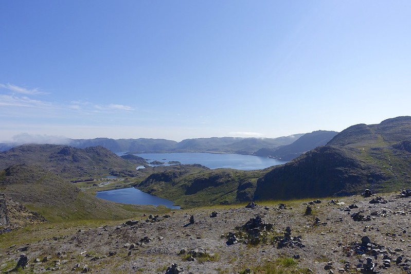
The sun continued to shine, but riding the last 100 km to the Cape it was very windy. The 7 km sea tunnel to the island of the cape was 6 degrees at the bottom. You go 4 km down down and then 1 km a cross and 4 km back up. I really felt sorry for the bike riders since this tunnel is the definition of dank. In fact it was VERY windy for the last 20 KM over the barren mountain passes.
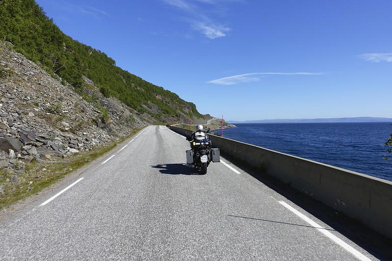 DSC02873 DSC02873 by Sara & Daniel Pedersen, on Flickr
 DSC02875 DSC02875 by Sara & Daniel Pedersen, on Flickr
 DSC02876 DSC02876 by Sara & Daniel Pedersen, on Flickr
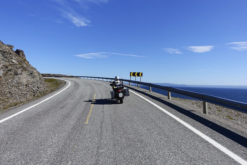 DSC02877 DSC02877 by Sara & Daniel Pedersen, on Flickr
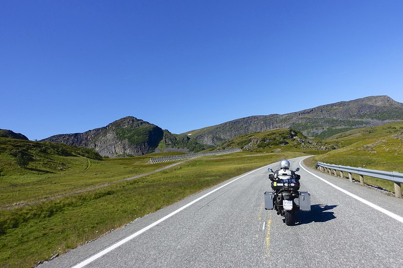 DSC02884 DSC02884 by Sara & Daniel Pedersen, on Flickr
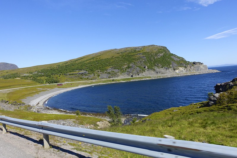 DSC02886 DSC02886 by Sara & Daniel Pedersen, on Flickr
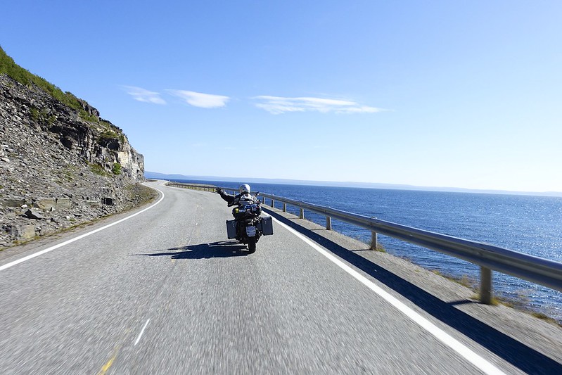 DSC02892 DSC02892 by Sara & Daniel Pedersen, on Flickr
|

13 Aug 2015
|
|
Contributing Member
Veteran HUBBer
|
|
Join Date: Jan 2011
Location: RTW, From Vancouver BC 2012
Posts: 3,579
|
|
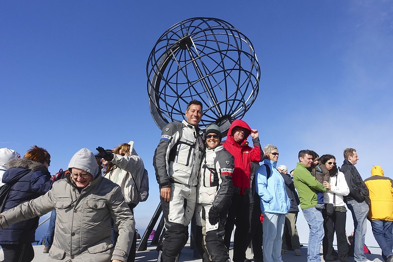
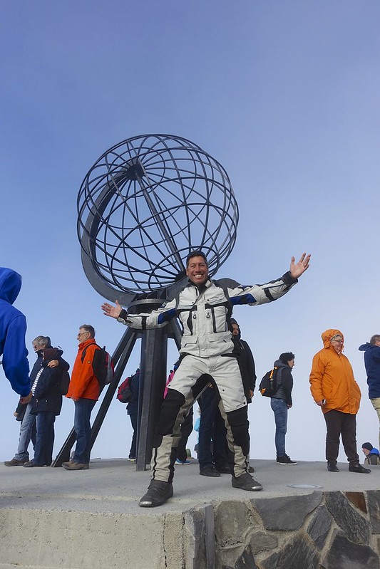
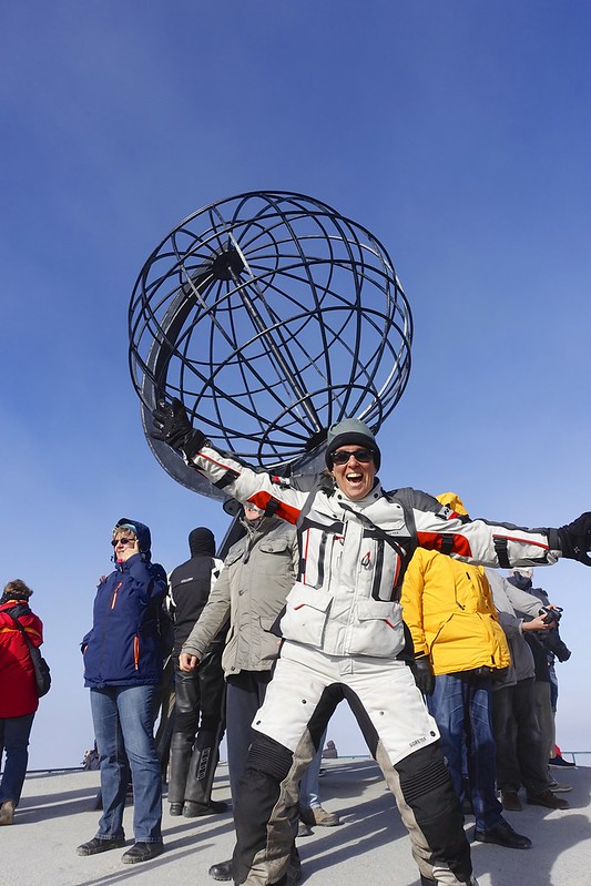
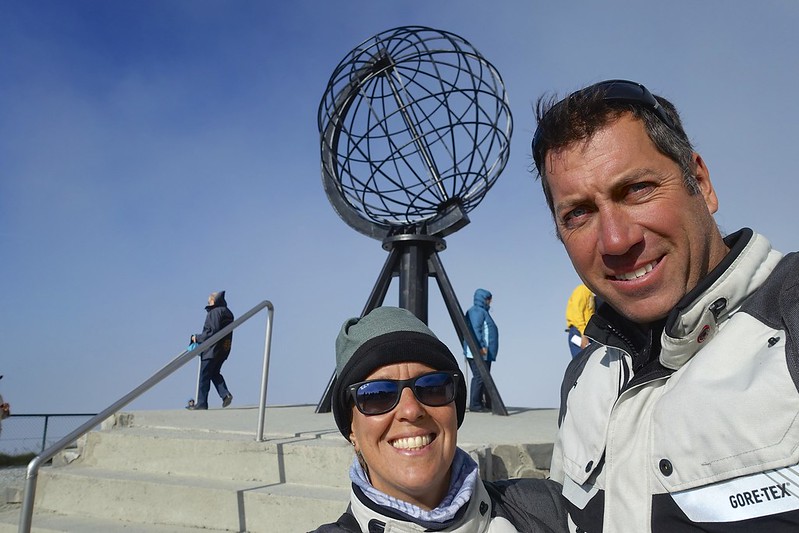
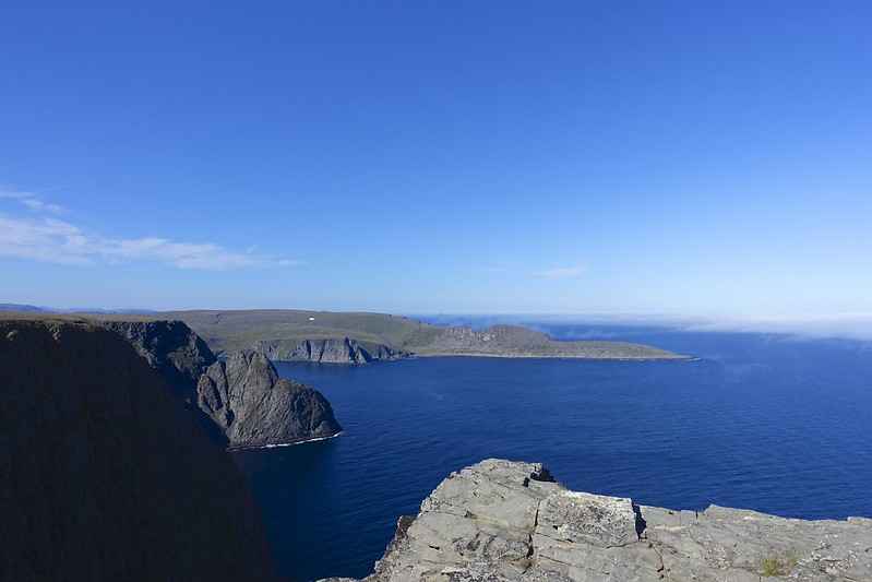
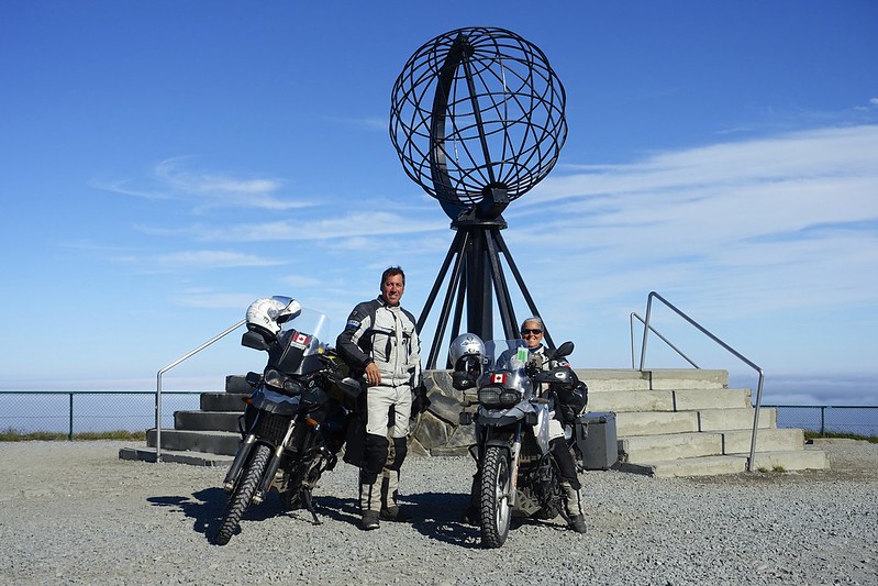
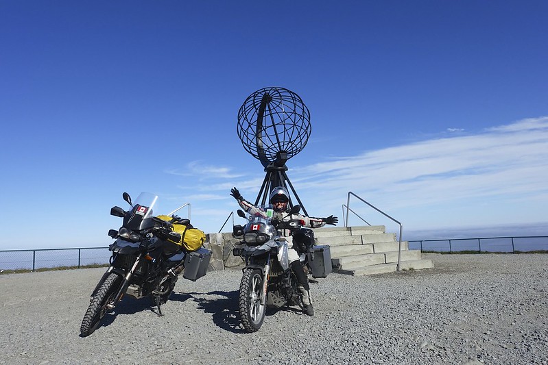
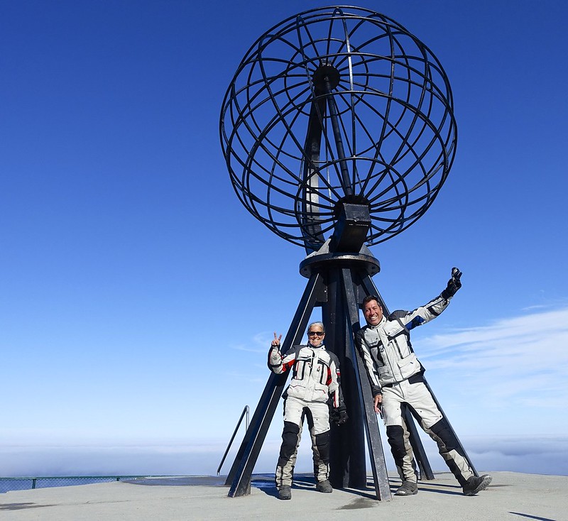
About 5 km before the cape a deep cloudbank enveloped us and we feared that despite the sunny day we would see nothing at the cape. Luck would have it that we came down out of the clouds just in time. We arrived to the ticket booth to see 6 buses of tourist from the cruise ships in Honningsvag, dozens of RVs, and about 30 bikes from all over Europe.
 DSC02906 DSC02906 by Sara & Daniel Pedersen, on Flickr
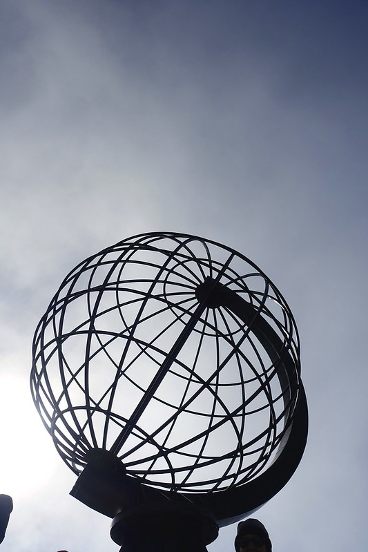
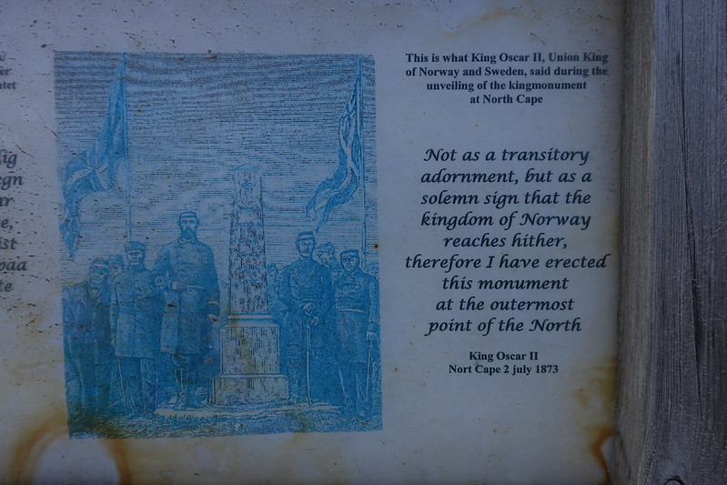
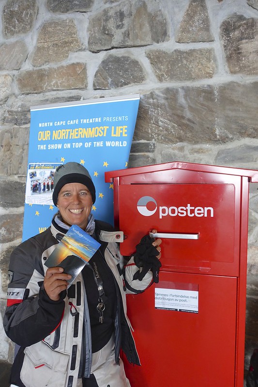
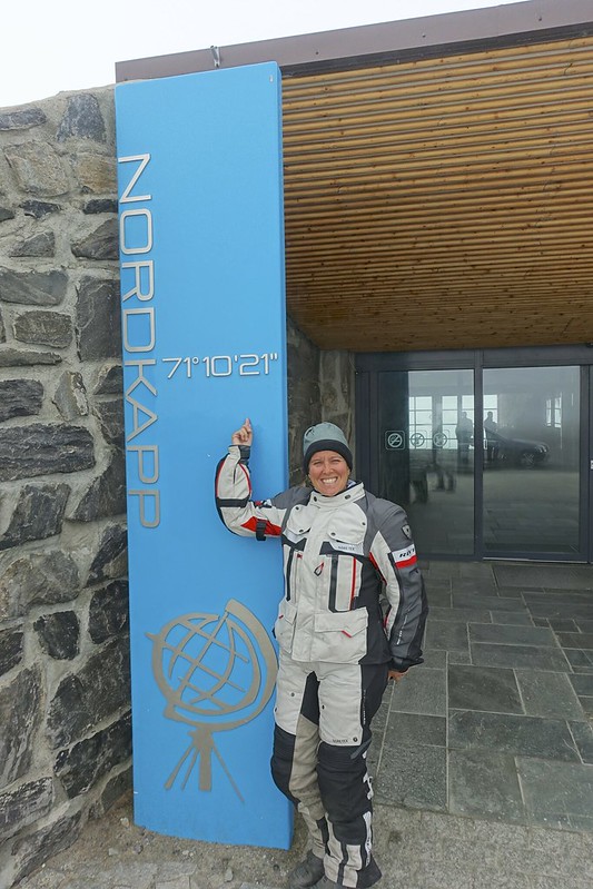
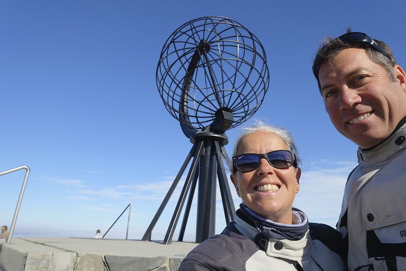
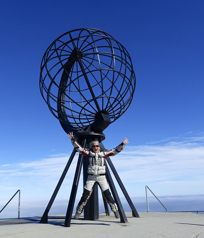
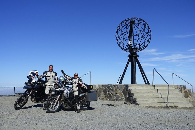
Despite this we did get right in to see the panorama movie and did get some photos and the monument between fog banks and busloads. It was a great feeling to finally make our goal of Inuvik, Ushuaia, to Nordkapp!
 IMG_4227 IMG_4227 by Sara & Daniel Pedersen, on Flickr
 DSC02914 DSC02914 by Sara & Daniel Pedersen, on Flickr
 DSC02919 DSC02919 by Sara & Daniel Pedersen, on Flickr
 DSC02924 DSC02924 by Sara & Daniel Pedersen, on Flickr
 DSC02918 DSC02918 by Sara & Daniel Pedersen, on Flickr
 DSC02932 DSC02932 by Sara & Daniel Pedersen, on Flickr
 DSC02933 DSC02933 by Sara & Daniel Pedersen, on Flickr
 DSC02935 DSC02935 by Sara & Daniel Pedersen, on Flickr
 DSC02939 DSC02939 by Sara & Daniel Pedersen, on Flickr
|

13 Aug 2015
|
|
Contributing Member
Veteran HUBBer
|
|
Join Date: Jan 2011
Location: RTW, From Vancouver BC 2012
Posts: 3,579
|
|
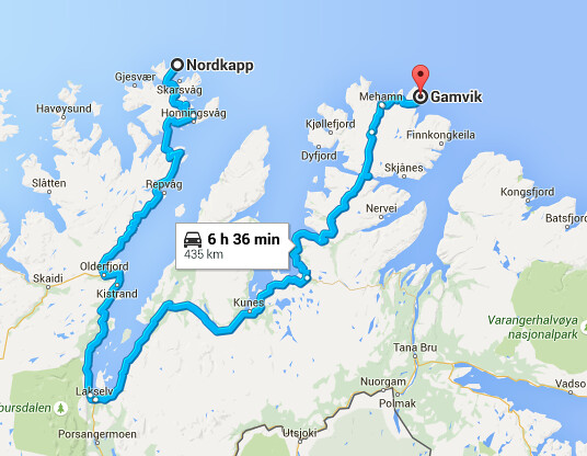
The plan for today was to get to Gamvik, which is 95 km almost due east of Nord Kapp, but it takes 435 km on the road.
 Screen Shot 2015-08-08 at 7.09.56 PM Screen Shot 2015-08-08 at 7.09.56 PM by Sara & Daniel Pedersen, on Flickr
|

13 Aug 2015
|
|
Contributing Member
Veteran HUBBer
|
|
Join Date: Jan 2011
Location: RTW, From Vancouver BC 2012
Posts: 3,579
|
|
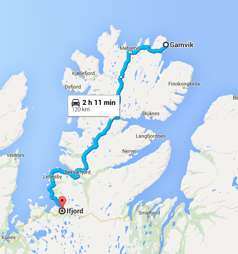
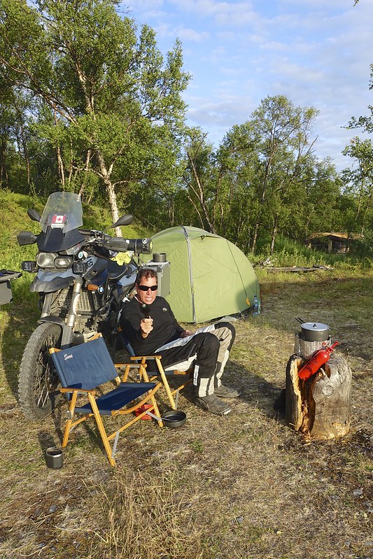
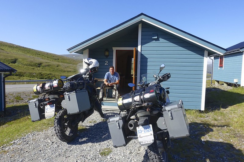
We lost our sun about mid way and it got pretty cold after we left Ifjord. Gamvik is a very remote town on the far east of the peninsula. This is a tiny fishing village of brightly colored wooden houses. The nearest large town is Mehamn. Even camping here, which was bad was expensive. A room at the hostel with a shared bath was 990K ( 120USD ). It was also 6 degrees here and so we decided that the 120 km back to Ifjord was a better idea. At least warmer anyway.
 Screen Shot 2015-08-08 at 7.10.45 PM Screen Shot 2015-08-08 at 7.10.45 PM by Sara & Daniel Pedersen, on Flickr
There is a not so nice campground here but they did have hot showers. Funny thing was an American man came up to us to tell us that the road ahead “ was torn up for 10 km and it is all shale and boulders”. Wow hard to believe on the E6 ( of course it was 5 km of very good dirt road……).
 DSC03013 DSC03013 by Sara & Daniel Pedersen, on Flickr
|

13 Aug 2015
|
|
Contributing Member
Veteran HUBBer
|
|
Join Date: Jan 2011
Location: RTW, From Vancouver BC 2012
Posts: 3,579
|
|
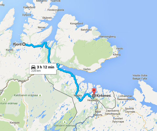
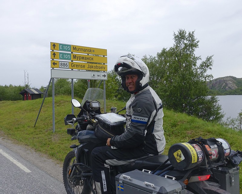
The rain started about midnight and continued on and off all night. We did get a bit of a break for packing up but not much. We are making for Kirkenes 228 KM in and near the end of the road in Norway. It ends at Russia just 14 km further!
 Screen Shot 2015-08-08 at 7.11.05 PM Screen Shot 2015-08-08 at 7.11.05 PM by Sara & Daniel Pedersen, on Flickr
|

13 Aug 2015
|
|
Contributing Member
Veteran HUBBer
|
|
Join Date: Jan 2011
Location: RTW, From Vancouver BC 2012
Posts: 3,579
|
|
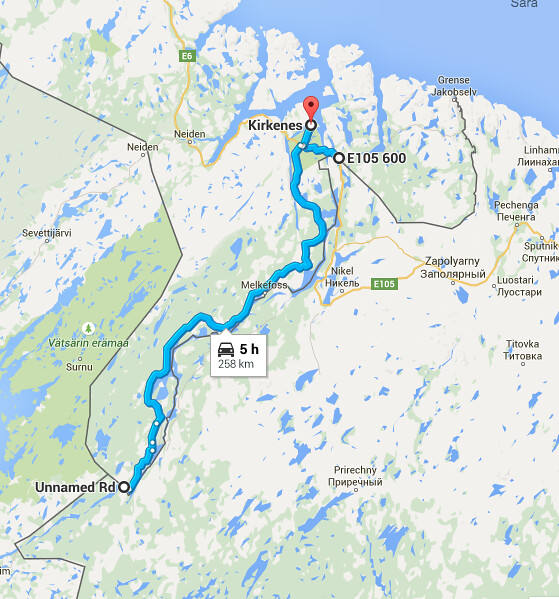
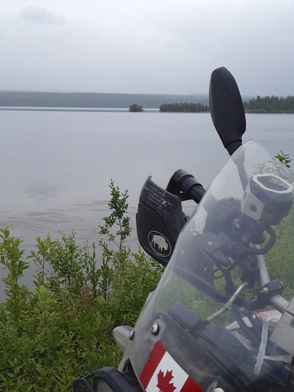
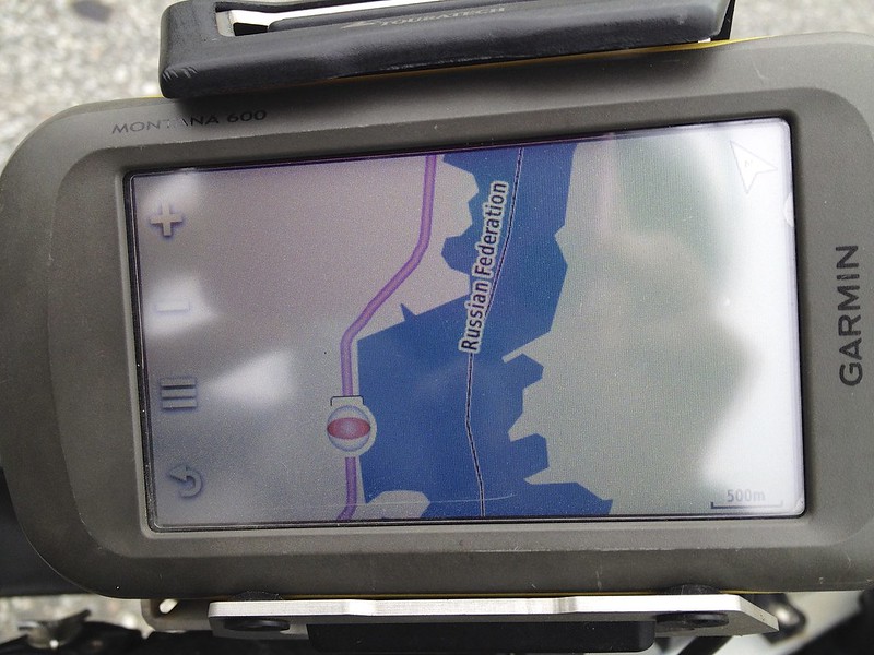
This is our first day off since we left Sweden so a sleep in until 10 was in order. At noon the sky still looked clear so we headed southeast to the three points where the borders of Norway, Finland, and the Russian federation meet.
 Screen Shot 2015-08-08 at 7.19.22 PM Screen Shot 2015-08-08 at 7.19.22 PM by Sara & Daniel Pedersen, on Flickr
This is 100 km of paved road that has very bad frost heaves.
 IMG_4236 IMG_4236 by Sara & Daniel Pedersen, on Flickr
 IMG_4245 IMG_4245 by Sara & Daniel Pedersen, on Flickr
 IMG_4240 IMG_4240 by Sara & Daniel Pedersen, on Flickr
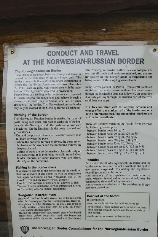
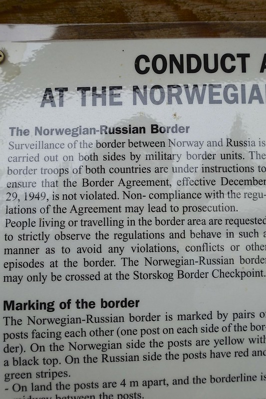
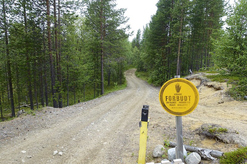
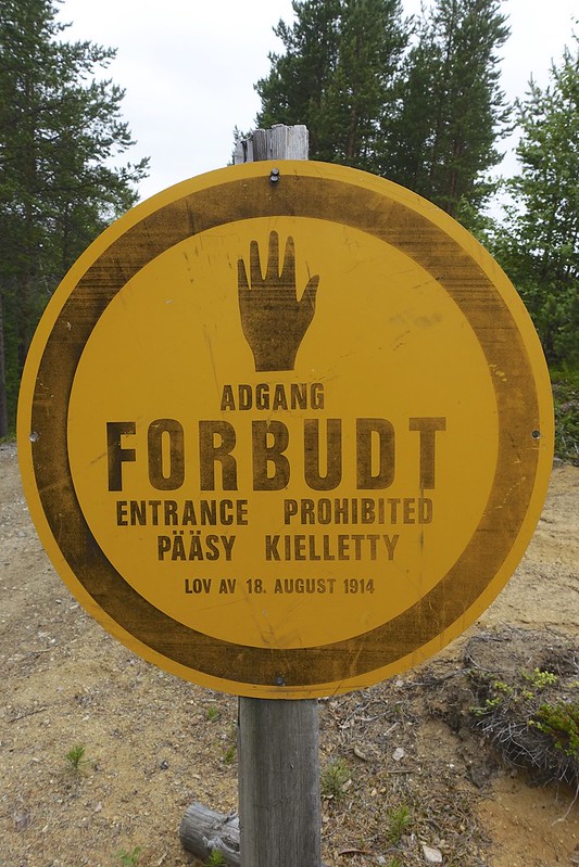
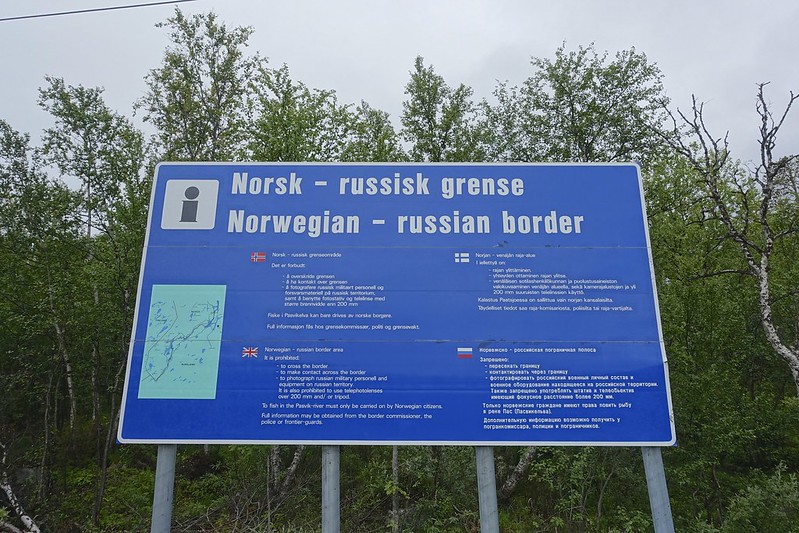
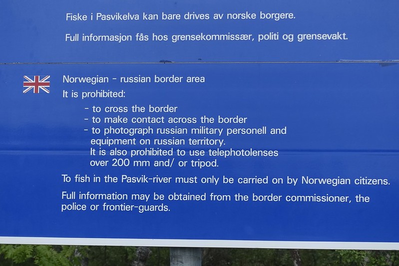
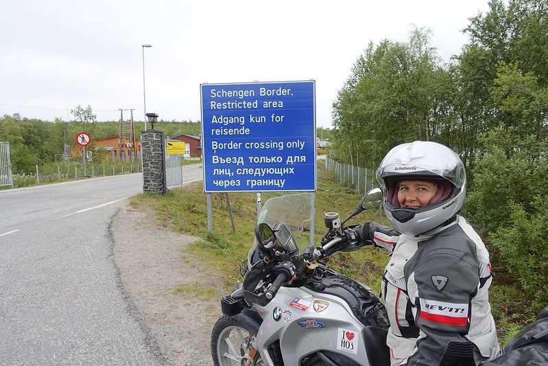
The last 20 km are dirt road with a few km of deeper gravel at the end. There is a lot of signage with border warnings like it is illegal to cross the border. Do not make contact across the border. Do not take photos of military personnel or vehicles. The use of tripods and telephoto lenses in the border area is illegal. OK!
 DSC03022 DSC03022 by Sara & Daniel Pedersen, on Flickr
 DSC03023 DSC03023 by Sara & Daniel Pedersen, on Flickr
 DSC03025 DSC03025 by Sara & Daniel Pedersen, on Flickr
 DSC03024 DSC03024 by Sara & Daniel Pedersen, on Flickr
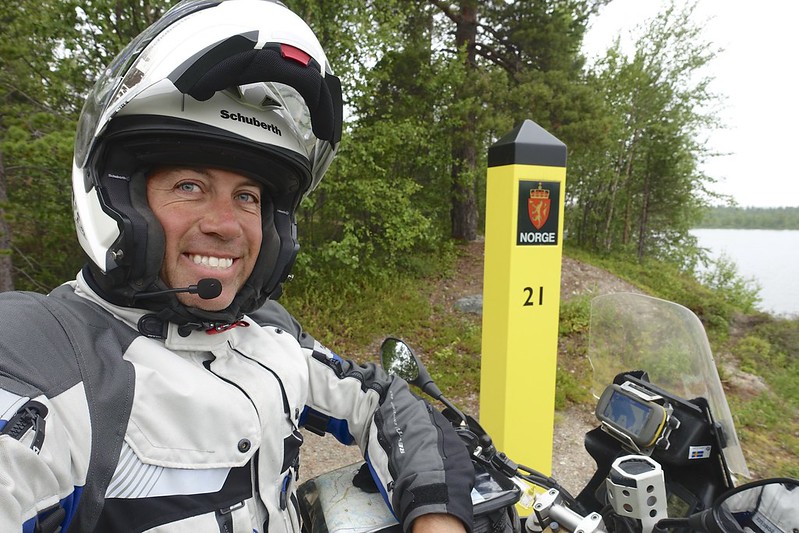
Yellow markers mark the border. It looks like Dan is on the Russian side of the marker. Oops.
 DSC03026 DSC03026 by Sara & Daniel Pedersen, on Flickr
|

13 Aug 2015
|
|
Contributing Member
Veteran HUBBer
|
|
Join Date: Jan 2011
Location: RTW, From Vancouver BC 2012
Posts: 3,579
|
|
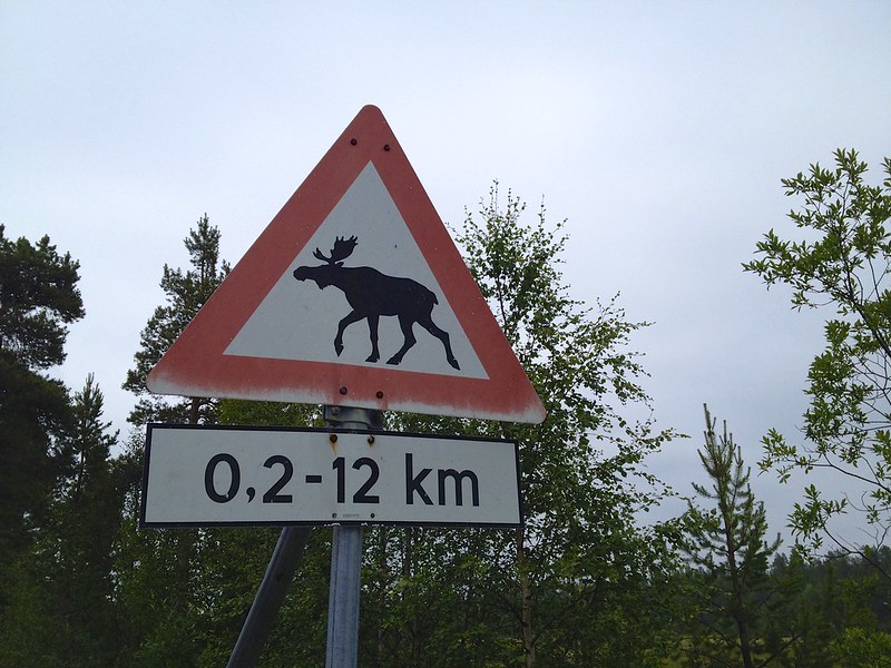
Despite 3 weeks in Norway and seeing hundreds of these signs we never saw an actual moose.
 IMG_4230 IMG_4230 by Sara & Daniel Pedersen, on Flickr
|

13 Aug 2015
|
|
Contributing Member
Veteran HUBBer
|
|
Join Date: Jan 2011
Location: RTW, From Vancouver BC 2012
Posts: 3,579
|
|
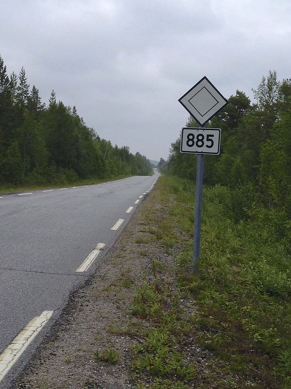
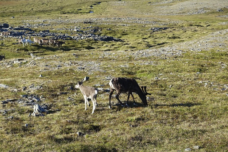
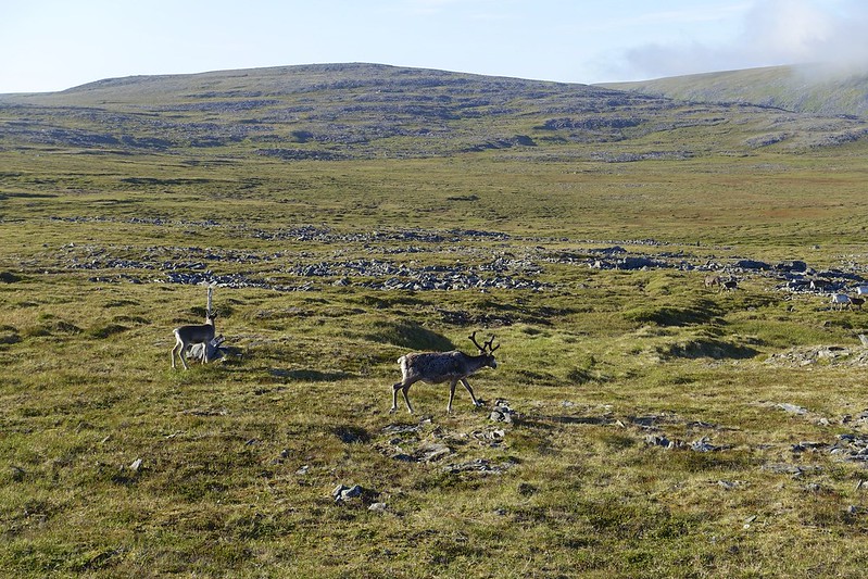
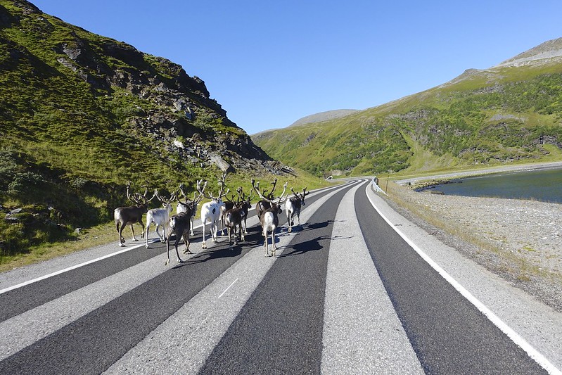
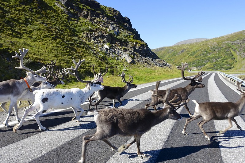
Today we leave Norway after 3 weeks of mostly ok weather. However, it rained almost all day. We made for the border of Finland in 55 Km. The roads here are very straight and all you see are trees, lakes, and reindeer. The reindeer are unpredictable especially the younggr ones. They will often stand on or near the road and not move at all until they suddenly jump out in front of you when you are several meters away.
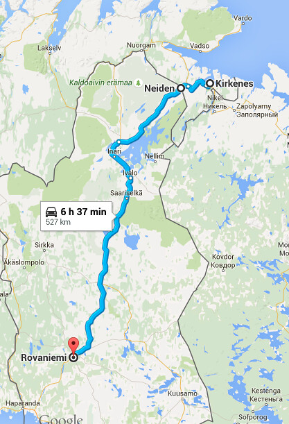 Screen Shot 2015-08-08 at 7.22.03 PM Screen Shot 2015-08-08 at 7.22.03 PM by Sara & Daniel Pedersen, on Flickr
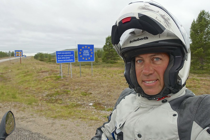 DSC03034 DSC03034 by Sara & Daniel Pedersen, on Flickr
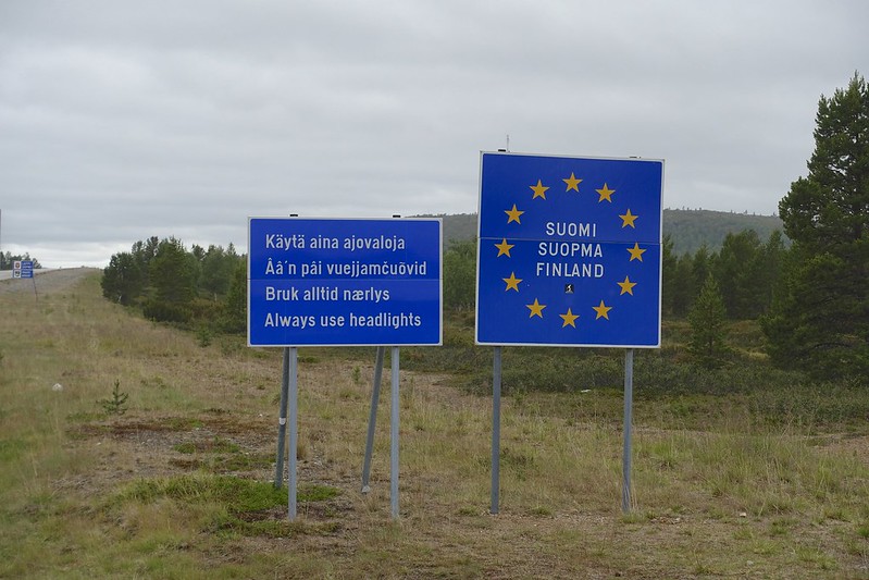 DSC03035 DSC03035 by Sara & Daniel Pedersen, on Flickr
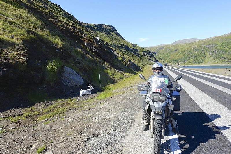
The plan was to make some miles and the roads made this easier if a bit boring. The reindeer are quite stupid and will run out in front of you without warning. The warning signs here in Finland are yellow and list the entire upper half of the country as a reindeer hazard zone. There are a few moose signs here too, but as yet no moose. The reindeer here are bigger than those in Norway and with much bigger antlers. We saw a few really majestic specimens today. It did stop raining by 4 and so we kept riding to just past the Arctic Circle.
We finally found a campground south of Rovaniemi. We still had a bit of sun left to dry out our very wet tent. There were a few other bikers here that were headed to Nordkapp.
|
|
Currently Active Users Viewing This Thread: 25 (0 Registered Users and/or Members and 25 guests)
|
|
|
 Posting Rules
|
You may not post new threads
You may not post replies
You may not post attachments
You may not edit your posts
HTML code is Off
|
|
|
|

Check the RAW segments; Grant, your HU host is on every month!
Episodes below to listen to while you, err, pretend to do something or other...

2020 Edition of Chris Scott's Adventure Motorcycling Handbook.
"Ultimate global guide for red-blooded bikers planning overseas exploration. Covers choice & preparation of best bike, shipping overseas, baggage design, riding techniques, travel health, visas, documentation, safety and useful addresses." Recommended. (Grant)

Led by special operations veterans, Stanford Medicine affiliated physicians, paramedics and other travel experts, Ripcord is perfect for adventure seekers, climbers, skiers, sports enthusiasts, hunters, international travelers, humanitarian efforts, expeditions and more.
Ripcord Rescue Travel Insurance™ combines into a single integrated program the best evacuation and rescue with the premier travel insurance coverages designed for adventurers and travel is covered on motorcycles of all sizes.
(ONLY US RESIDENTS and currently has a limit of 60 days.)
Ripcord Evacuation Insurance is available for ALL nationalities.
What others say about HU...
"This site is the BIBLE for international bike travelers." Greg, Australia
"Thank you! The web site, The travels, The insight, The inspiration, Everything, just thanks." Colin, UK
"My friend and I are planning a trip from Singapore to England... We found (the HU) site invaluable as an aid to planning and have based a lot of our purchases (bikes, riding gear, etc.) on what we have learned from this site." Phil, Australia
"I for one always had an adventurous spirit, but you and Susan lit the fire for my trip and I'll be forever grateful for what you two do to inspire others to just do it." Brent, USA
"Your website is a mecca of valuable information and the (video) series is informative, entertaining, and inspiring!" Jennifer, Canada
"Your worldwide organisation and events are the Go To places to for all serious touring and aspiring touring bikers." Trevor, South Africa
"This is the answer to all my questions." Haydn, Australia
"Keep going the excellent work you are doing for Horizons Unlimited - I love it!" Thomas, Germany
Lots more comments here!

Every book a diary
Every chapter a day
Every day a journey
Refreshingly honest and compelling tales: the hights and lows of a life on the road. Solo, unsupported, budget journeys of discovery.
Authentic, engaging and evocative travel memoirs, overland, around the world and through life.
All 8 books available from the author or as eBooks and audio books
Back Road Map Books and Backroad GPS Maps for all of Canada - a must have!
New to Horizons Unlimited?
New to motorcycle travelling? New to the HU site? Confused? Too many options? It's really very simple - just 4 easy steps!
Horizons Unlimited was founded in 1997 by Grant and Susan Johnson following their journey around the world on a BMW R80G/S.
 Read more about Grant & Susan's story
Membership - help keep us going!
Horizons Unlimited is not a big multi-national company, just two people who love motorcycle travel and have grown what started as a hobby in 1997 into a full time job (usually 8-10 hours per day and 7 days a week) and a labour of love. To keep it going and a roof over our heads, we run events all over the world with the help of volunteers; we sell inspirational and informative DVDs; we have a few selected advertisers; and we make a small amount from memberships.
You don't have to be a Member to come to an HU meeting, access the website, or ask questions on the HUBB. What you get for your membership contribution is our sincere gratitude, good karma and knowing that you're helping to keep the motorcycle travel dream alive. Contributing Members and Gold Members do get additional features on the HUBB. Here's a list of all the Member benefits on the HUBB.
|
|
|




 177Likes


 . We stayed up until 2 am to enjoy the Midnight Sun.







 Linear Mode


