 |
|

12 May 2012
|
|
Registered Users
HUBB regular
|
|
Join Date: Jul 2009
Location: Fairbanks, AK
Posts: 82
|
|
Somehow I managed to actually get up and moving at a decent hour, usually I'm the last person checking out but today I got moving around around 10am. I decided to gamble and try running over the divide on US 60 then to follow US 191 south through the Apache National Forest as one of the guys at the bar yesterday described it as "simply epic". Unless there was weather.
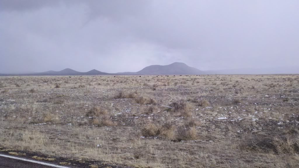
Of course, there was weather. About an hour outside of Socorro I crossed through the little town of Magdelena where I got gas and stared woefully at the soggy, frozen clouds hugging the mountains. The little, oft ignored, voice in the back of my head said "might as well turn back now, you know you're not getting through here. The light and possibly clear spots you're seeing is just a trap." I of course ignored it, for a little while, because right up the road was the Very Large Array.
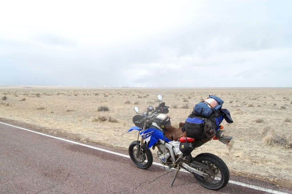
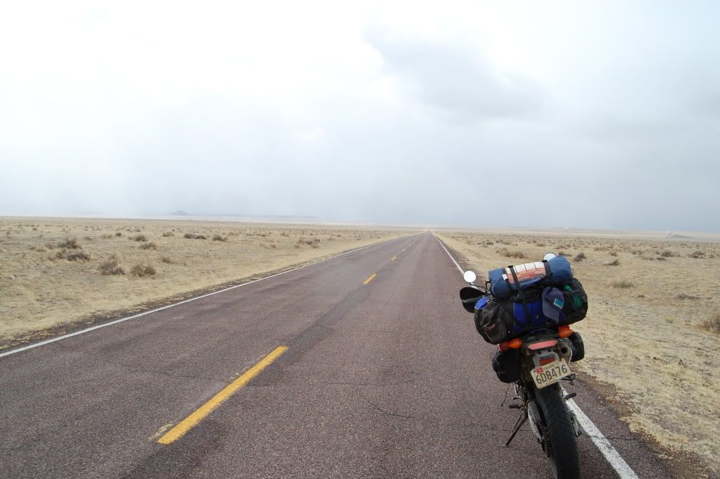
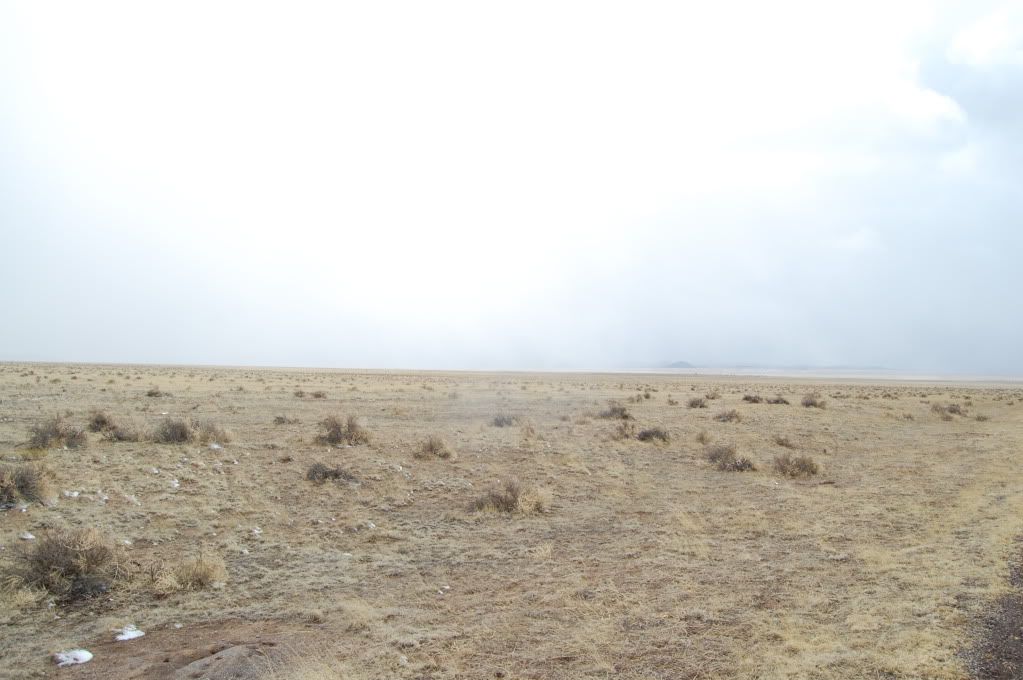
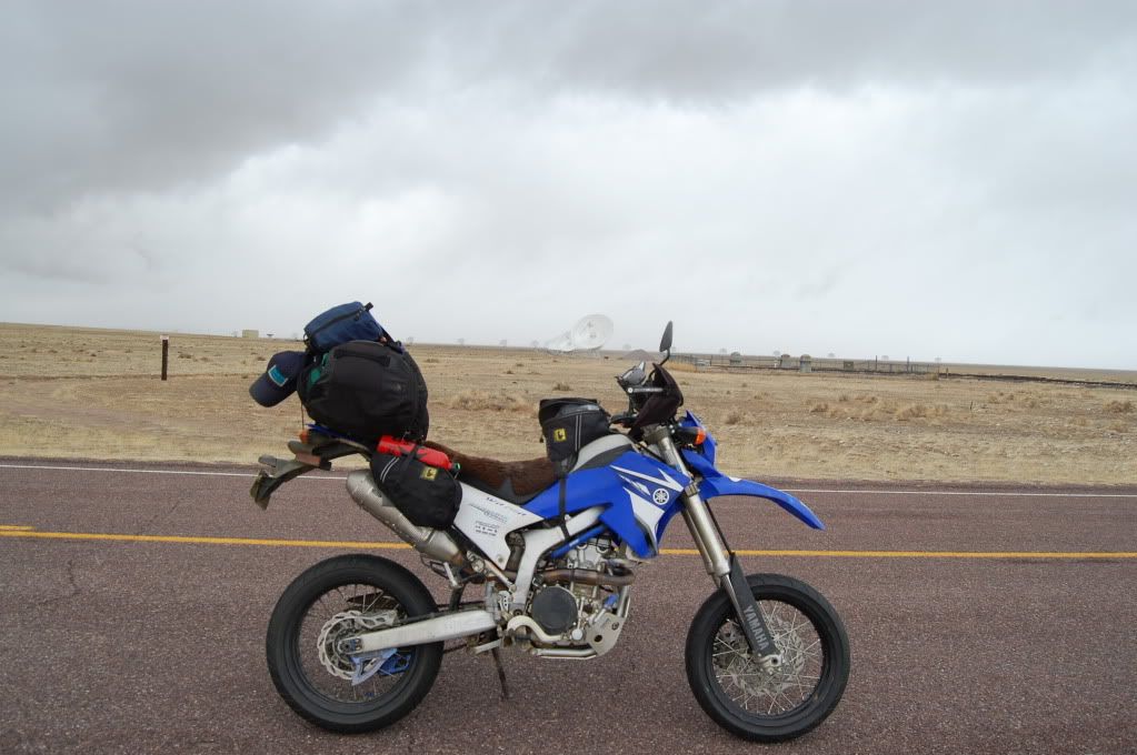
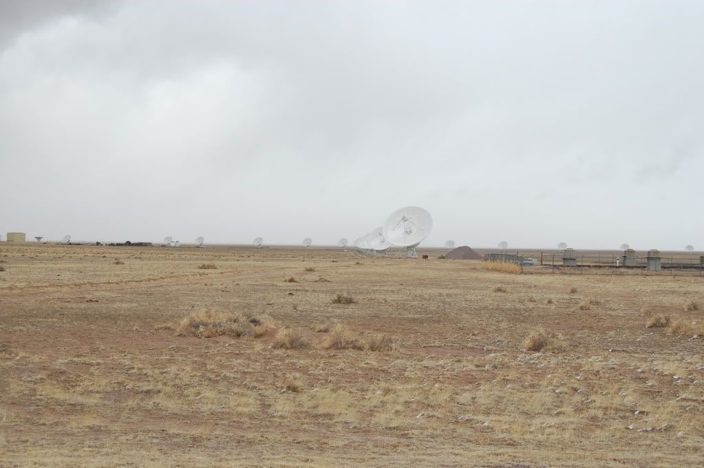
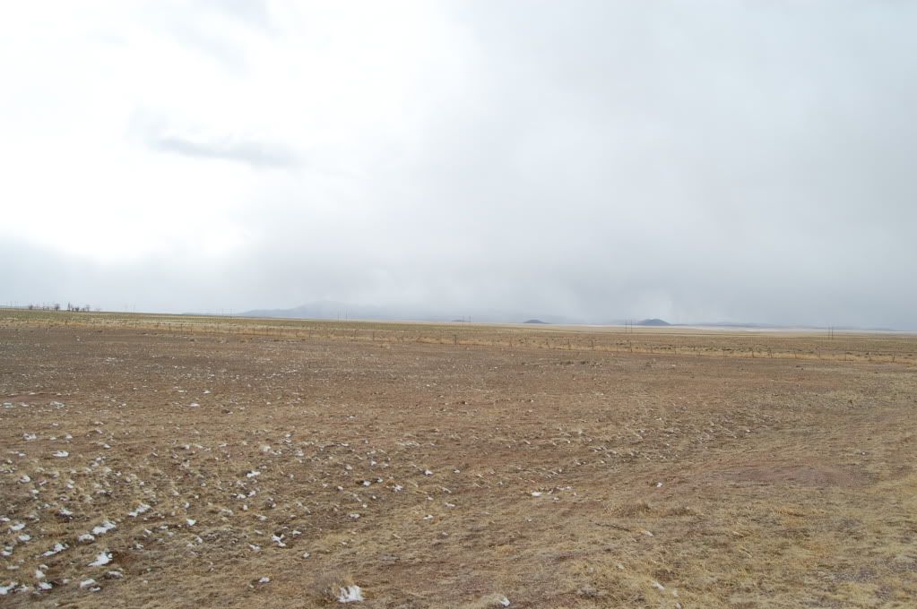
Those brown dots are cows.
:giles:
While it was certainly Very Large, it was absolutely dwarfed by the valley and surrounding mountains. I wanted to get closer, but there were signs that basically said "US Govt Property, Stay the **** Out" and soon a little white securty truck sitting about 1/2 mile down the road from me. I quickly snapped my pics and kept rolling.
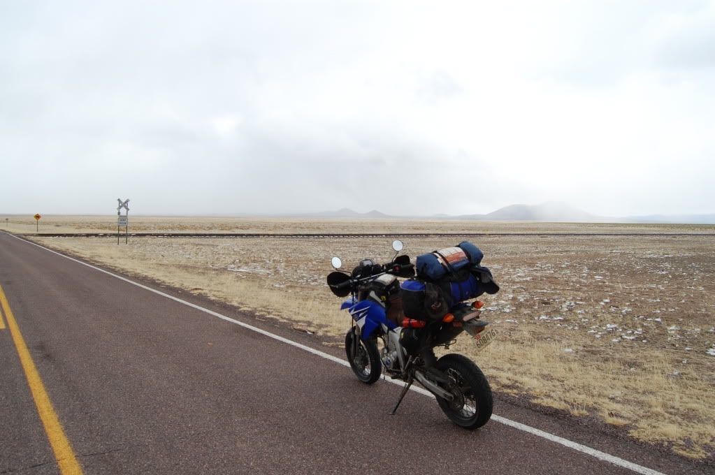
Its hard to tell in the photo's, but it had started snowing and worse started sticking and the temperature was dropping. Looks like I'll have to find another way over... back to Socorro and back to I 25 to continue south. Fortunately I quickly found a way to the frontage road and original highway that had been replaced by the interstate so at least I didn't have to worry so much about being run down by passing semi's.
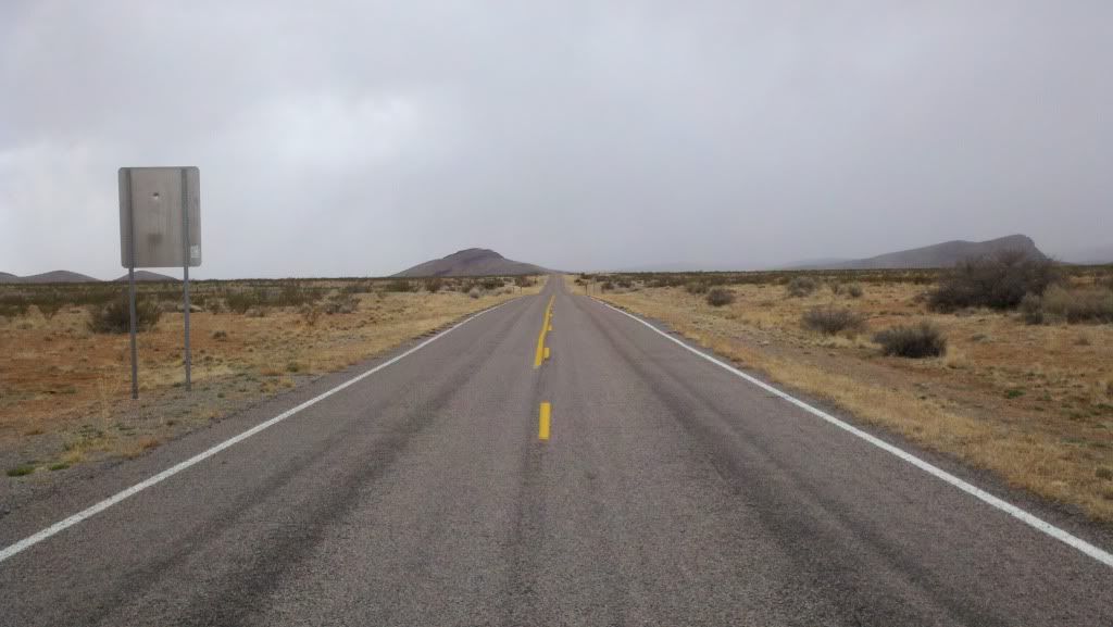
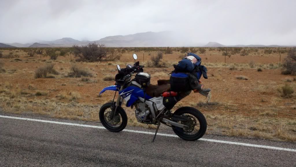
It was still windy and hell, and it was still cold as hell, but at least it wasn't sn...
****.
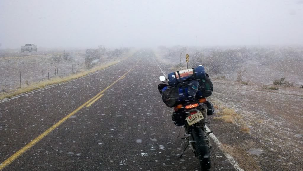
Fortunately it wasn't sticking to anything except my visor, but it kept snowing like this for a solid hour. I'm maybe 3 hours from the Mexican border, I'm in the desert, and its cold and snowing. Even more fun, it hailed for a little while too, little BB sized hail that made the roads just fantastic to ride on and is easily my new favorite motorcycle weather.
Really? Really?
Then, as I entered the town of Truth or Consequences... it stopped.
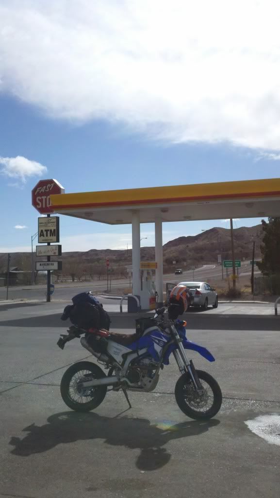
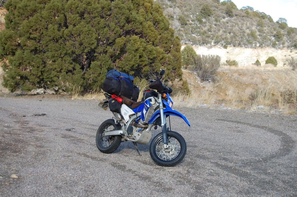
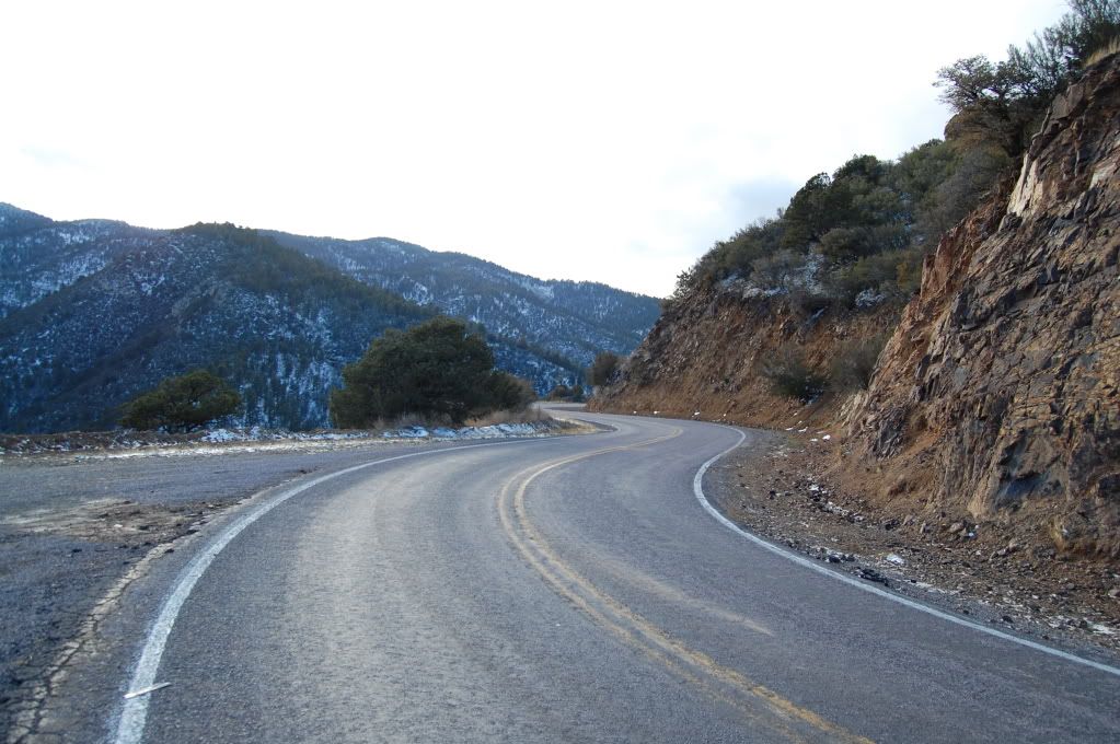
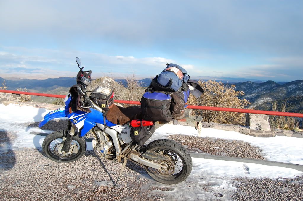
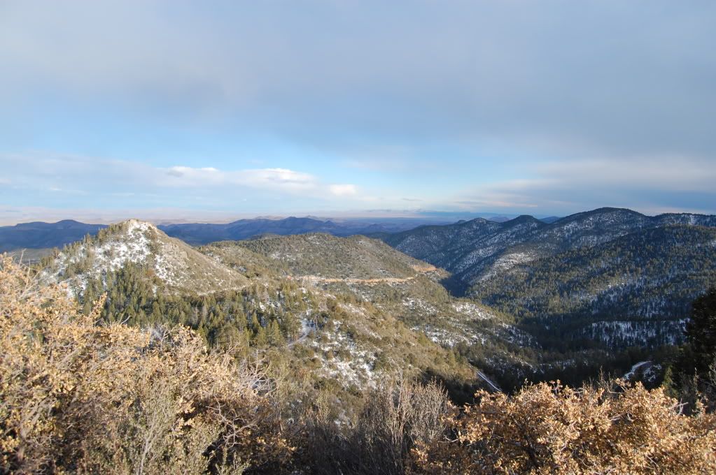
I wanted off the interstate again, so outside of Caballo I turned on to Rt 159 and followed it up and down and around into the mountains and eventually into the Gila National Forest. This was easily one of the twistiest, nastiest motorcycle roads I've ever ridden and was cursing myself for not being here unloaded and in warmer weather.
Up into them thar hills
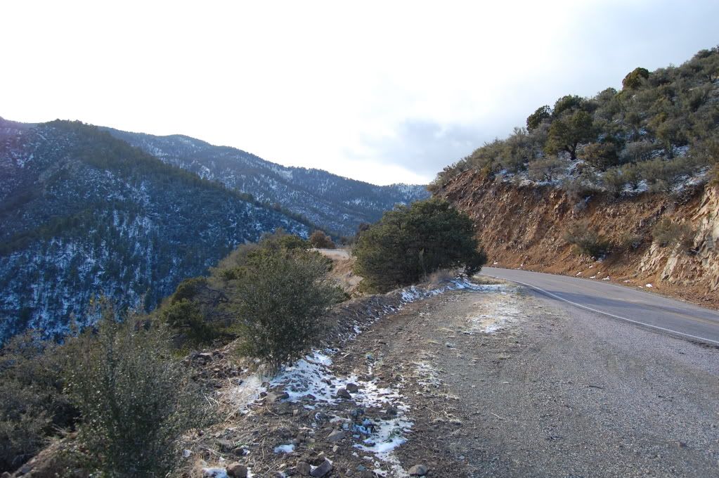
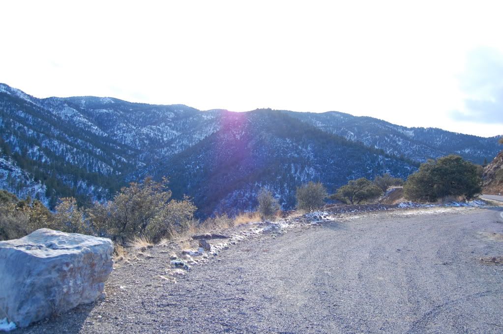
Looking back...
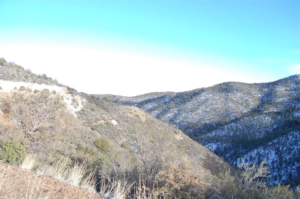
Looking forward
On and on and on and on it went like this, finally rising up and over 8000 feet to cross the pass
Looking back down the valley
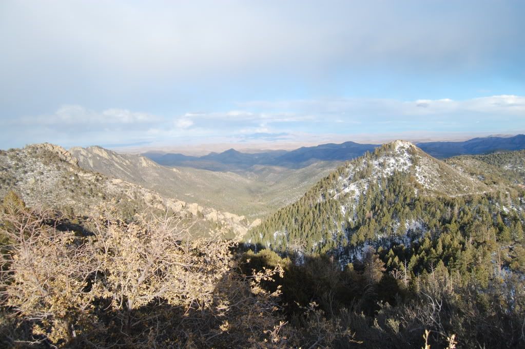
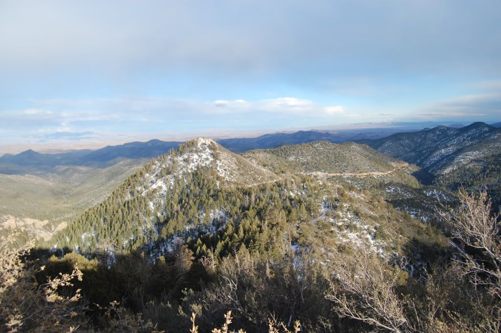
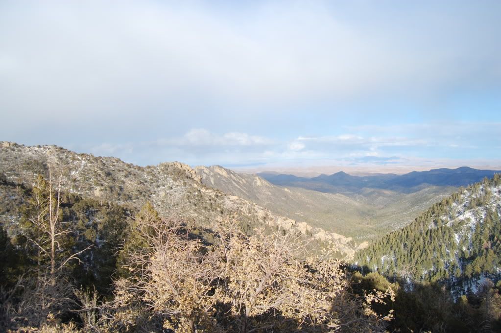
Heading west, down to around 4500 ft in elevation on the other side
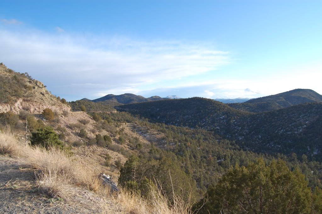
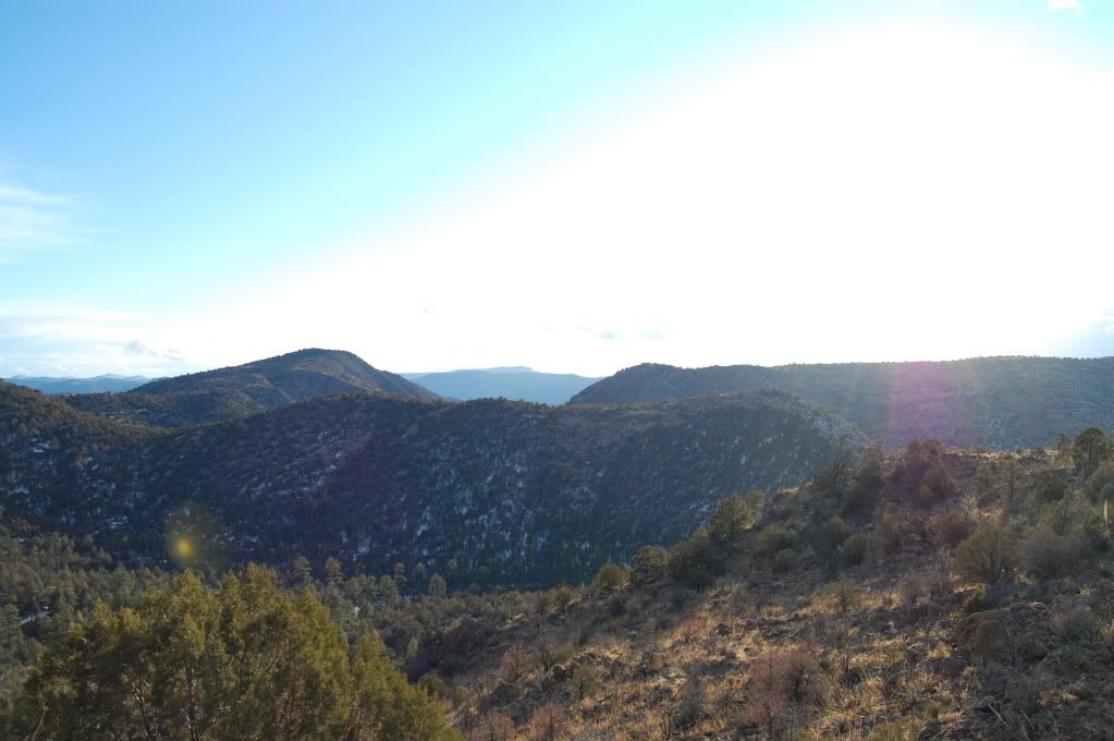
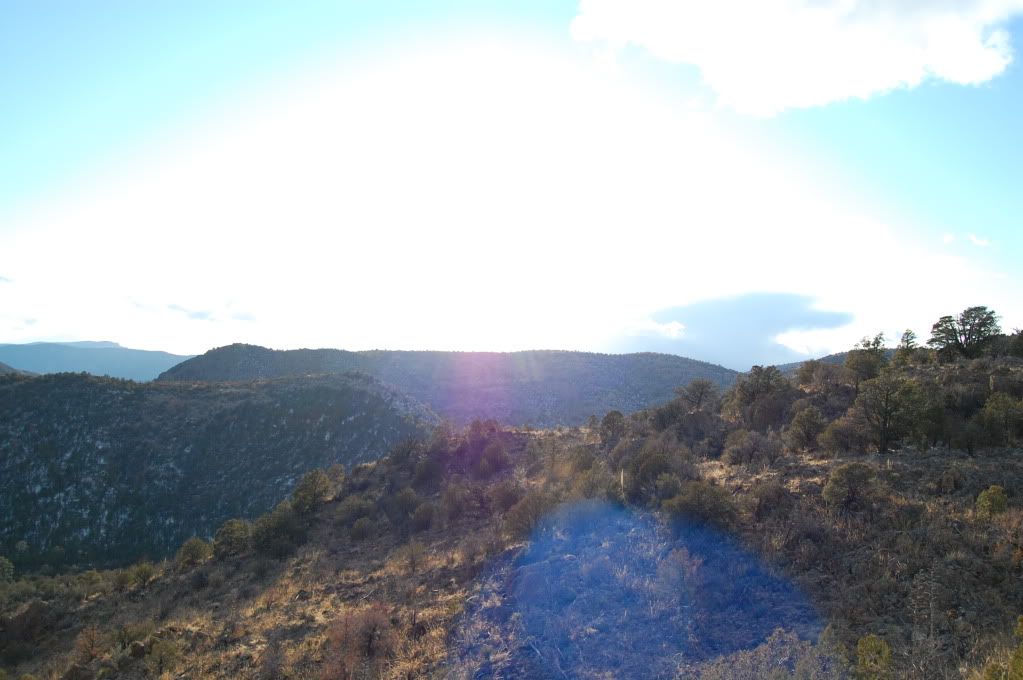
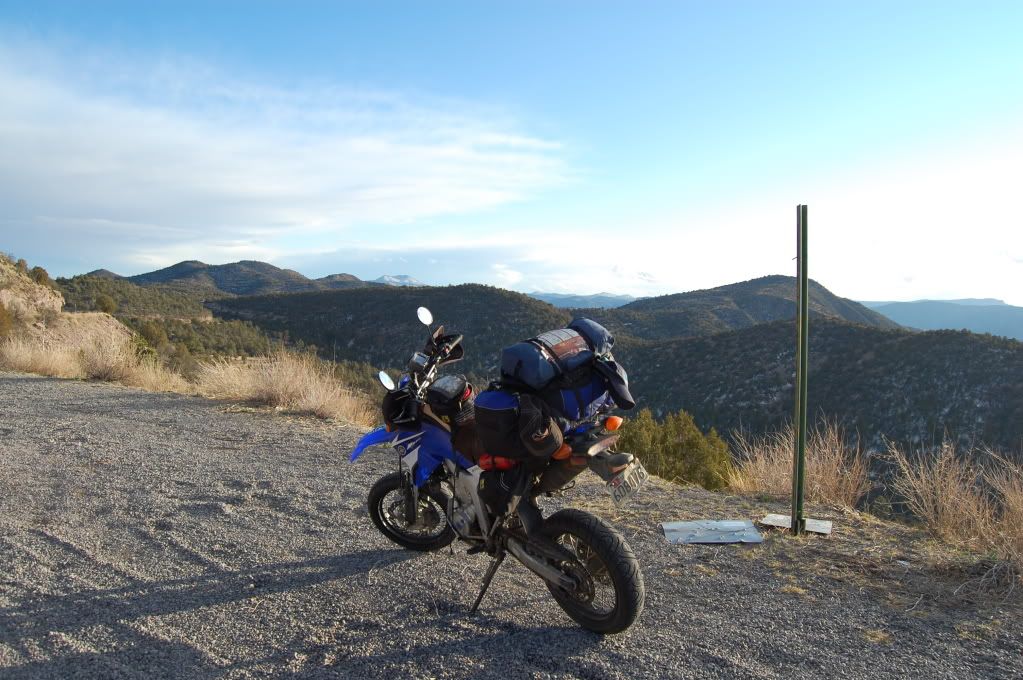
I have no idea how cold it was, probably easily into the mid teens if not colder, but it was spectacularly beautiful. Coming back up towards the divide, the temperature kept dropping and the roads kept getting more fun and interesting, except they were definitely getting slick.
Nothing like an open pit mine to spoil the scenery
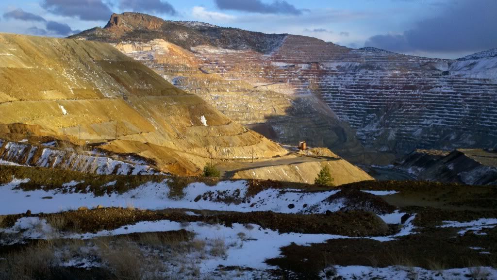
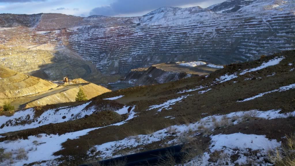
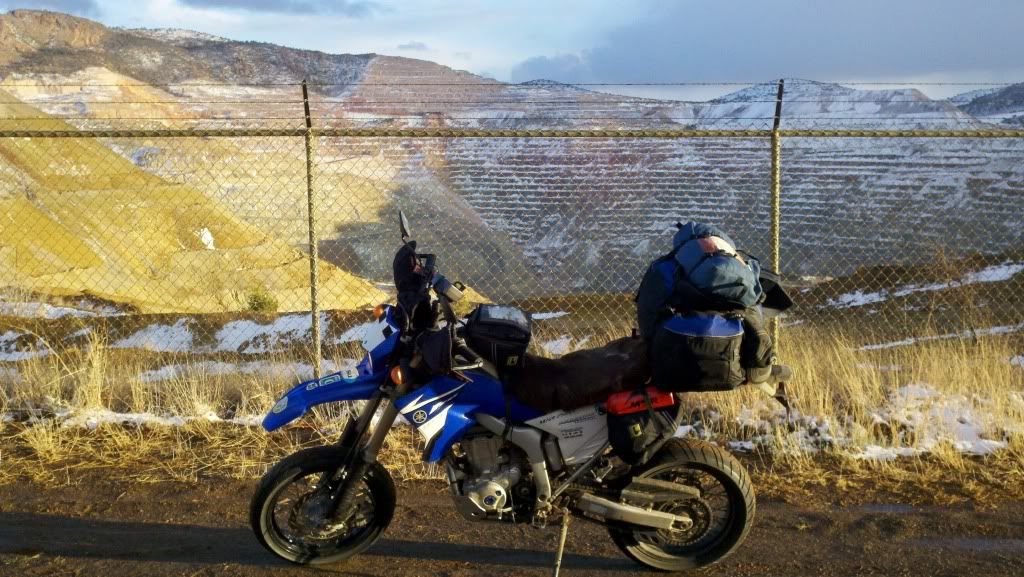
Eventually ended up in Silver City, NM at a Wendy's to get my new favorite cheap road food: 10pc nuggest and a small chili. Add a few packets of hot sauce to the chili, add crackers, break up the nuggets into the chili. Good, filling, and warming. I almost slipped and busted my ass getting back on the bike as the parking lot had turned to a sheer sheet of ice. The temperature sign on the local bank started at 30 degrees when I ate but was already at 25 degrees in the time it took for the sun to go down and me to eat... time to stop for the night. Found a cheap-enough local hotel with a clean bed and HEAT and turned in for the night. Tomorrow I finally get over the Great Divide.
__________________
2008 Yamaha WR250R
|

12 May 2012
|
|
Registered Users
HUBB regular
|
|
Join Date: Jul 2009
Location: Fairbanks, AK
Posts: 82
|
|
Tuesday March 20.
There are few stronger demotivators to get riding than a warm hotel room, hot coffee, and below freezing temperatures when you wake up. Eventually the sun came up over the mountains and as the world around me slowly started to thaw I made my way down and over the continental divide. Unfortunately the side was on a blind crest with no real shoulder, and it was cold and I had just starting riding, so I didn't stop and get a picture. Oh well...
I followed the highway west out of Silver City and more or less plummeted straight down to the desert basin below and to what remains of the town of Lordsburg, NM, effectively a truck stop and a few run down looking businesses. I've never seen so much altitude dropped so quickly on a highway, nearly a mile in elevation over about 20-25 miles, it almost felt like I was free falling at times. Out of Lordsburg I decided to stay on I-10 and as often as possible its frontage roads and headed directly west to Tucson.
But first, some minor desert detours
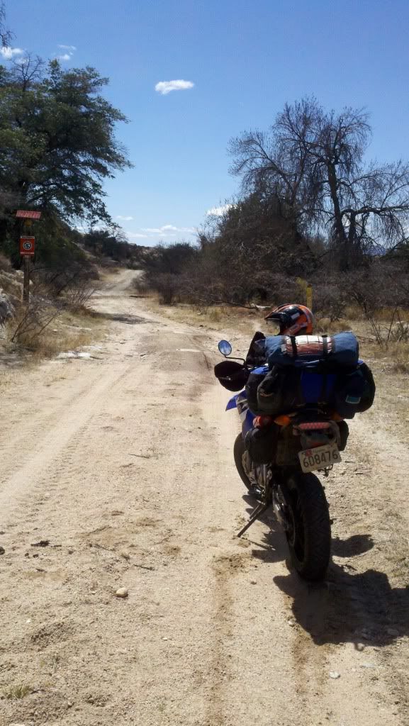
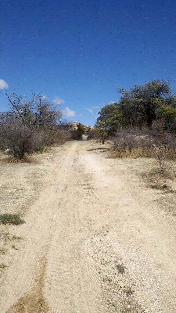
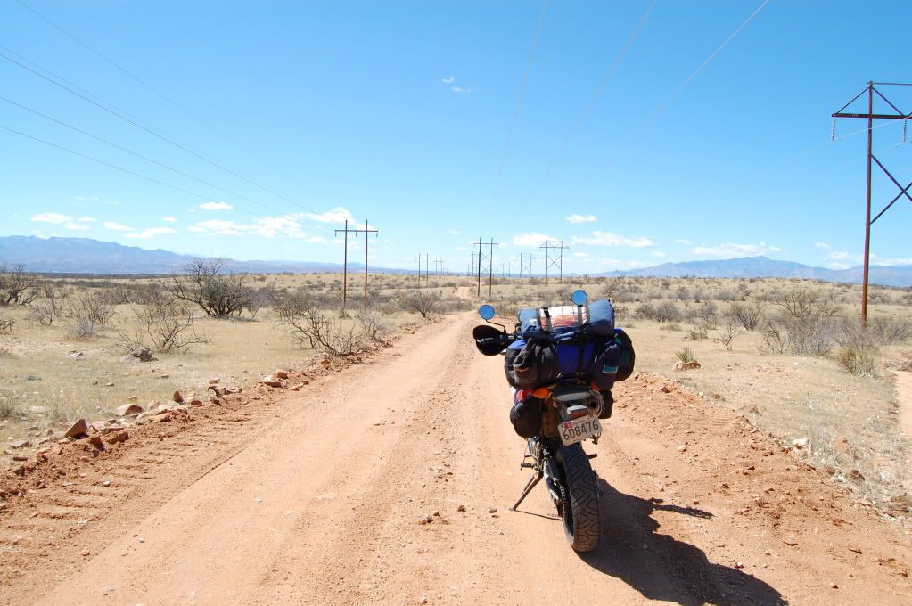
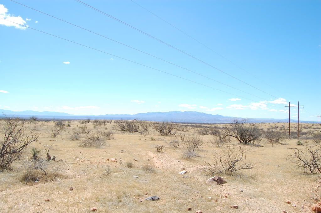
You can just make out the interstate in the distance...
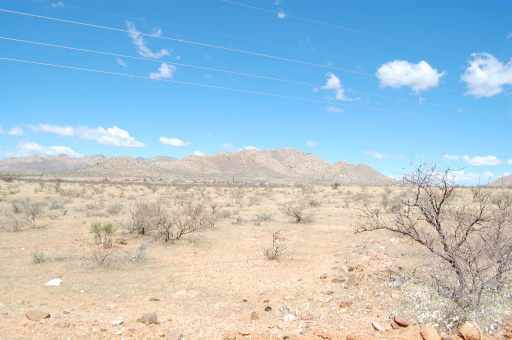
I putted along like this for 30 or 40 miles paralleling the interstate but effectively out in the middle of nowhere at the same time. Once in Tucson I made a quick phone call to a college friend who lives out here now, but she was tied up for the day. Oh well, onward and westward. I did stop at a dealer in Tucson, Ride On powersports, and they hooked me up with a new chin curtain for my Shoei Hornet. Actually it was from a Shoei Qwest but it fit and worked and more importantly it was free, so thanks guys!
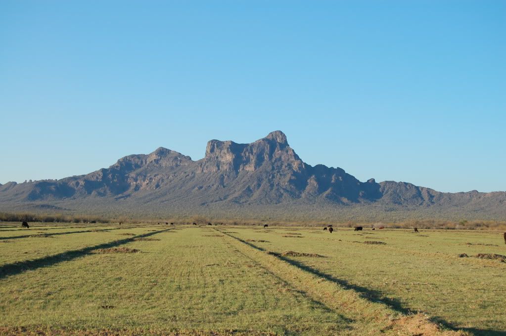
As always it was getting late in the day and I really decided to push some miles as I could feel the clock ticking. Still had to take some time from the main roads while I had sun though...
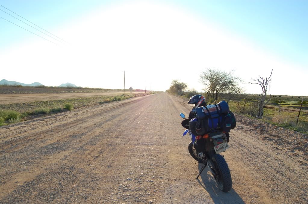
BTW, when it got late and as I was riding west, I realized something... I CAN"T SEE! My Hornet's visor had been sandblasted pretty badly during the wind storms in New Mexico so it was covered with little scratches and pock marks and therefore the setting sun was damn near blinding with the visor down.
I ended up camping outside of Phoenix, near Superior in the free Forest Service campground there. Getting lost in the middle of the desert in the middle of the night is never a good idea, but I just about managed to do it by being stupid and trying to follow an 'interesting' road on my GPS to a site I thought was the campground. It wasn't, and in the process I managed to break my throttle grip loose for a second time. :diaf: At night. On a road I later found out was private property. Fortunately I could still just slide the grip off without damaging the wires and I was able to limp it to the camp ground sans grip and sans grip heater.
Wednesday March 21.
Learned a couple things camping this morning. Alcohol stoves don't work at all when its cold out, put my lighter clean out when I touched it to the puddle of alcohol in the stove. JB Quik Weld works better if its heated up first in a pot of hot water when its freezing out. I really need to better plan out where I stop or at least stop earlier in the future (we'll see how that goes). And I really dislike camping below freezing.
Grip back on tight, or so I hoped, I decided that since I was in Phoenix and had time to kill that I'm going to ride the Sheeps Bridge loop.
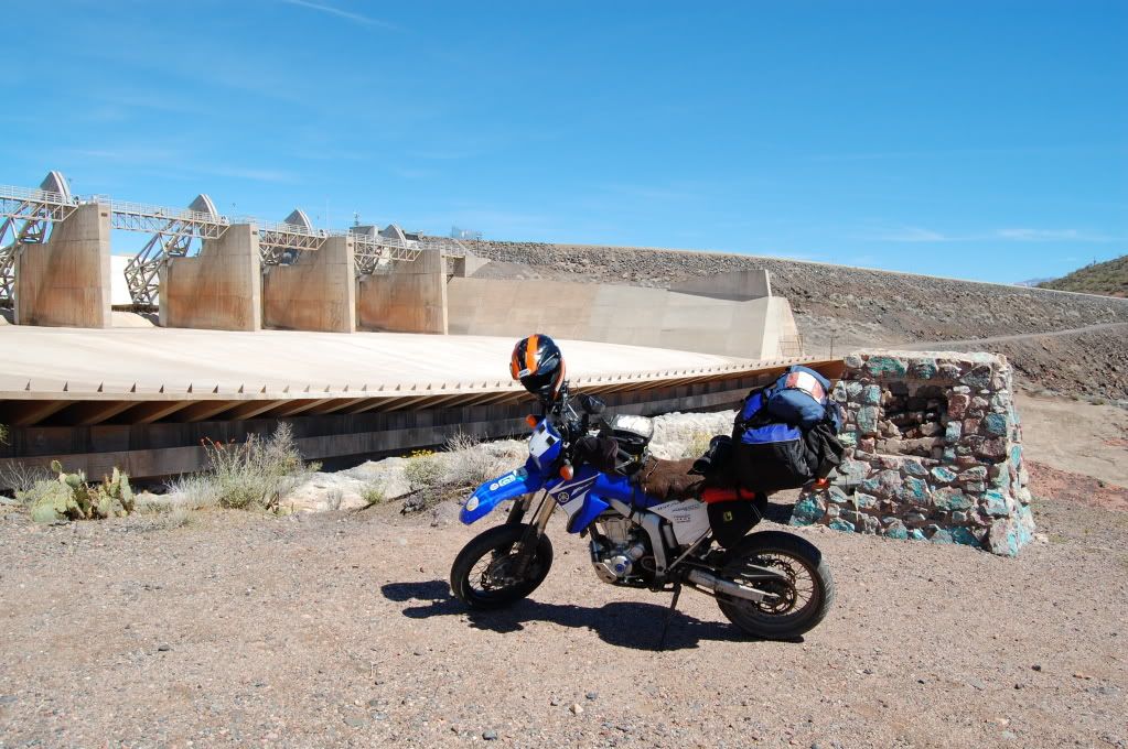
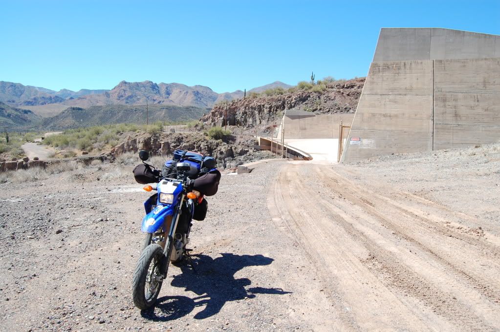
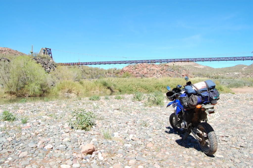
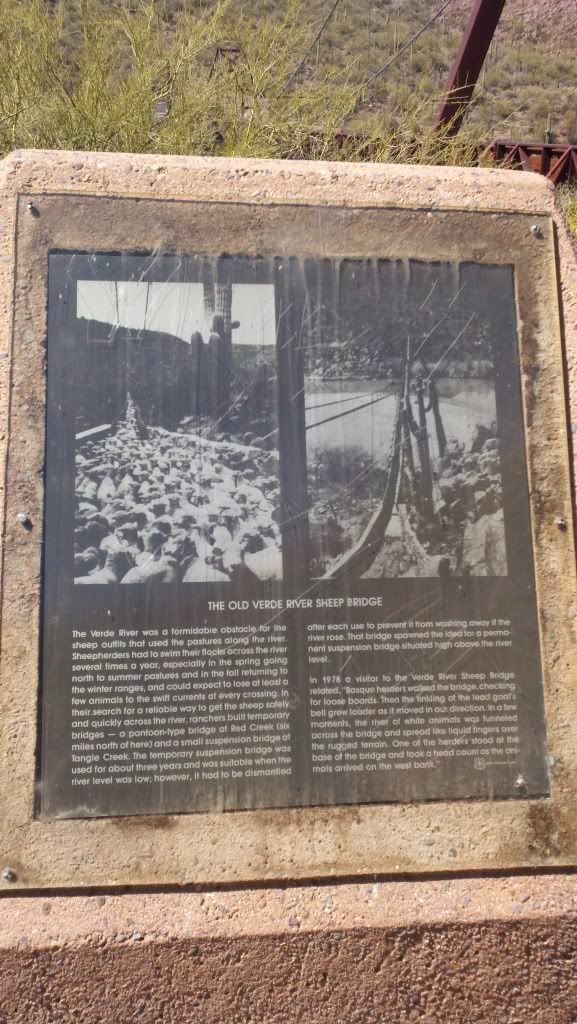
For those who aren't familiar, there is a suspension bridge across the Verde River is used by sheep herders to move their flocks down to wherever they're going, and this bridge crosses outside of Phoenix. There is also a dam at the south end of the trail that has a walkway under the spillway to get the sheep through without incident. It is possible to ride a motorcycle across the bridge and under the dam, made a great 60 or 70 mile loop that can't be gotten to and ruined by quads and can't easily be gotten to by full size 4x4 unless they can manage a deep long crossing of the Verde at the lone ford or convince the dam operators to let them drive across the spillway (you'll see that in the pics in a minute). Since I started from the south, I decided to make my way north to the Bridge via the Horseshoe Dam undercrossing.
About 10 miles of twisty pavement and 10 miles of washboarded by relatively well graded gravel road, I arrived at the Dam.
__________________
2008 Yamaha WR250R
|

12 May 2012
|
|
Registered Users
HUBB regular
|
|
Join Date: Jul 2009
Location: Fairbanks, AK
Posts: 82
|
|
Here's the spillway, you can see the path down and out pretty well.
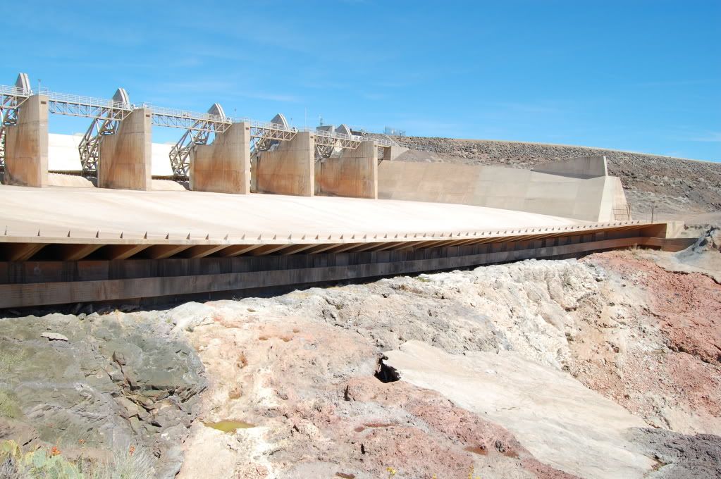
The drop down, looking up.
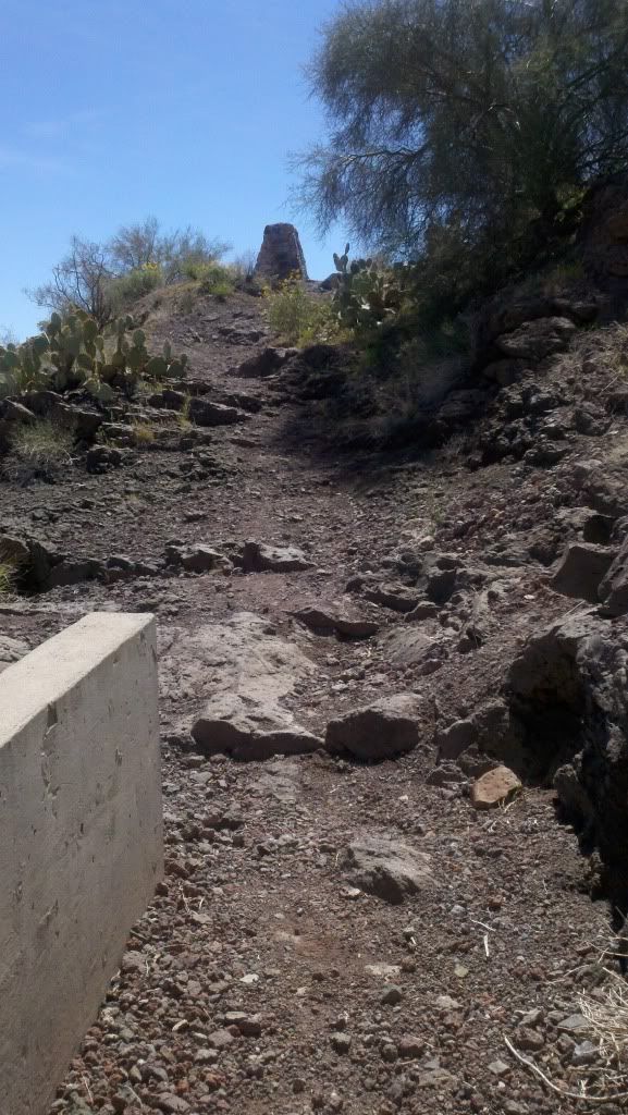
The climb out
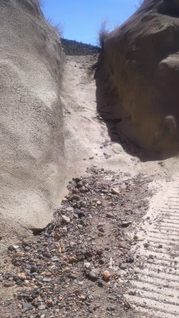
Kinda steep but really really easy otherwise. Into the rabbit hole...
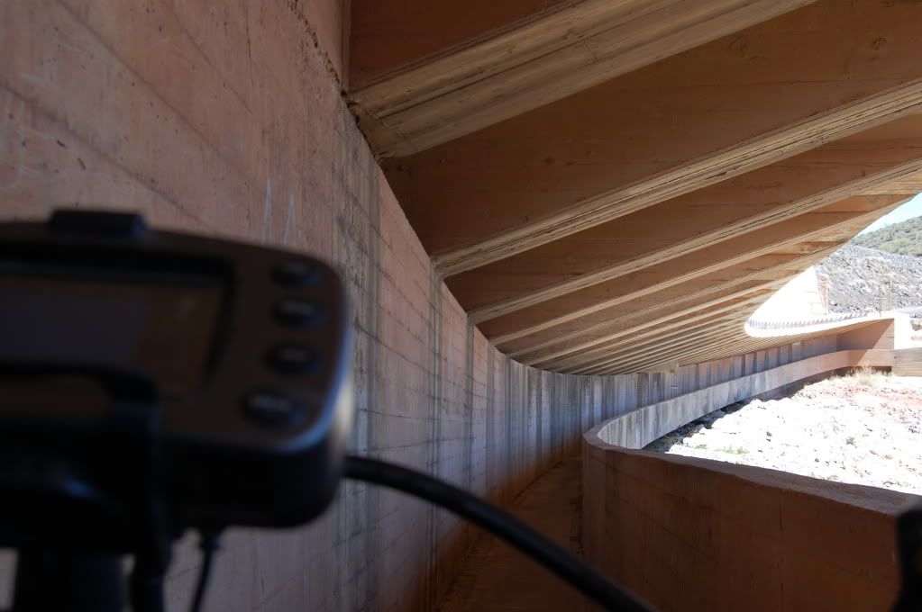
And we're through!
It was an extremely tight squeeze, I almost didn't make it through with the bags on but with a little rubbing all went well. I'm just glad I didn't have to go back through... right?
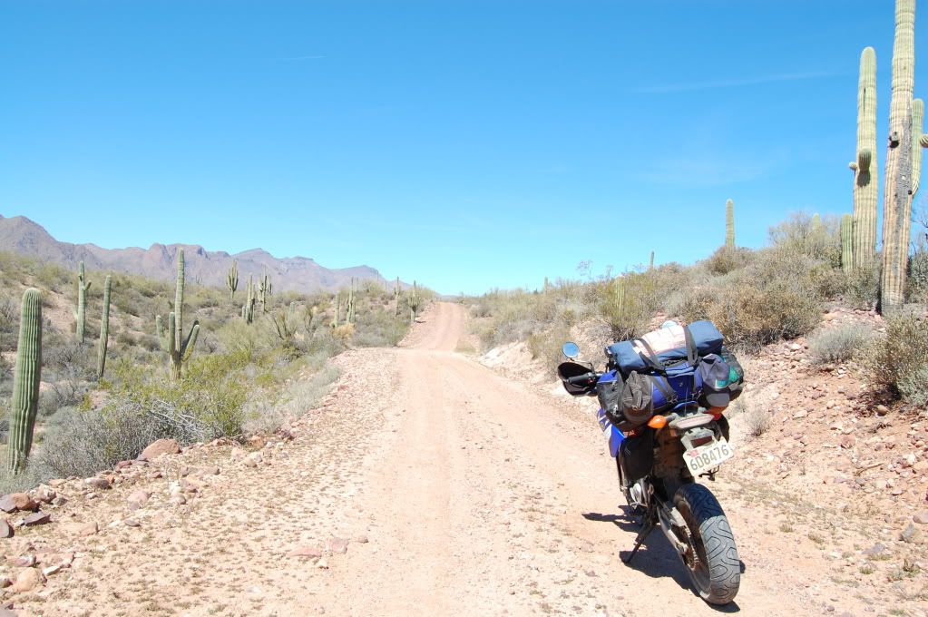
The rewards: perfect easy smooth fast desert two track.
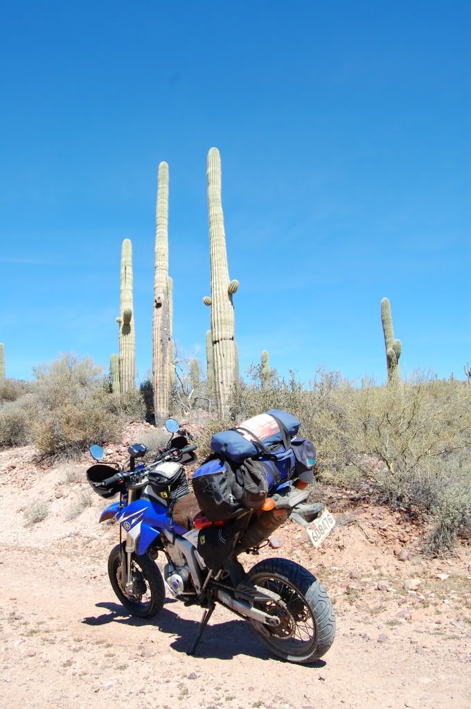
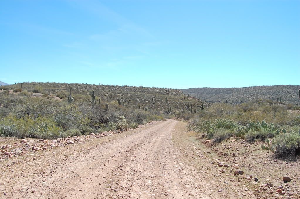
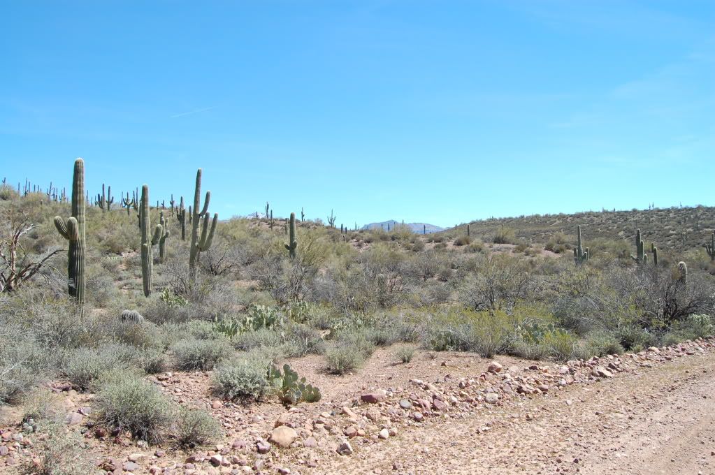
Someone had cleared the wash at the Creek...
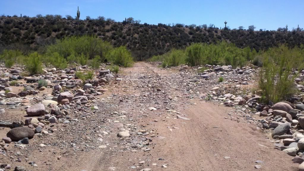
so it was a simple affair to cross unlike some of the nightmare attempts I've read where it was all like this:
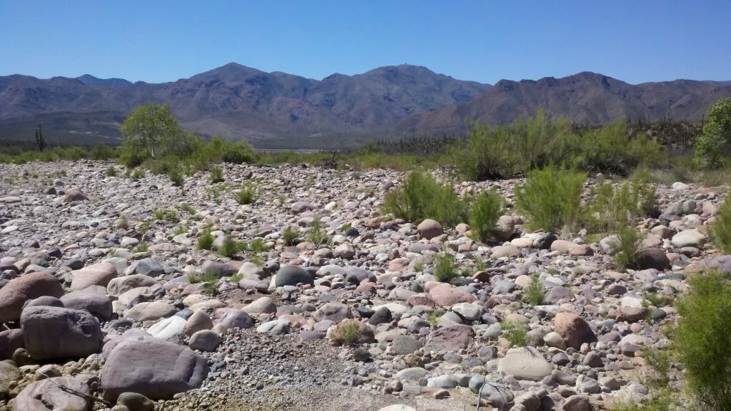
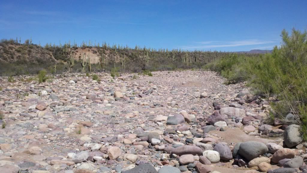
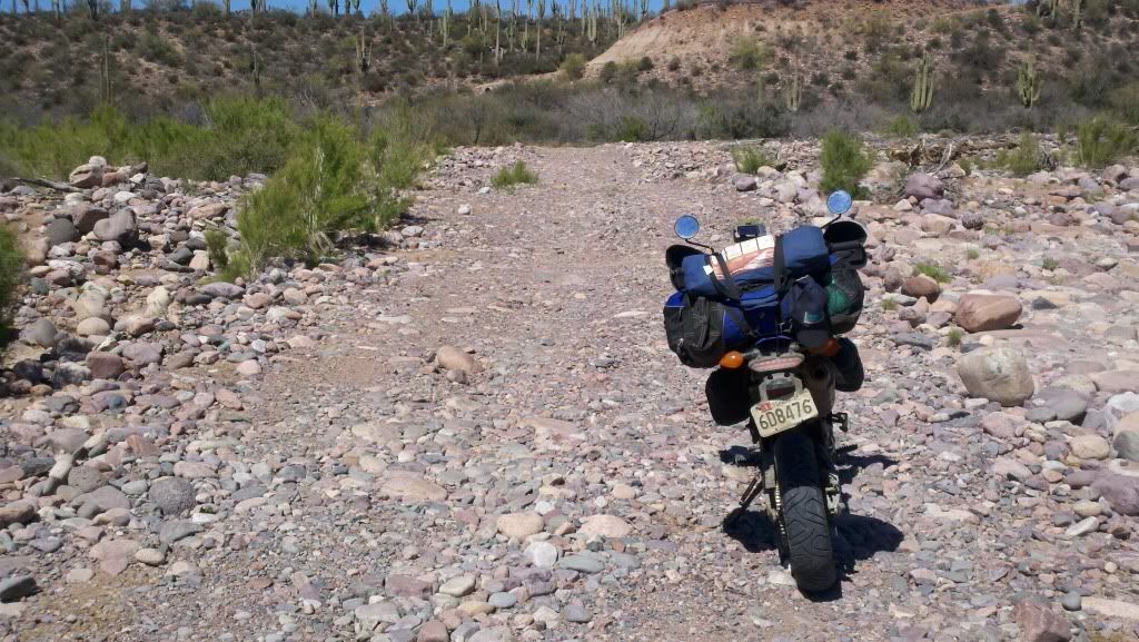
About 20-30 miles later, the reward
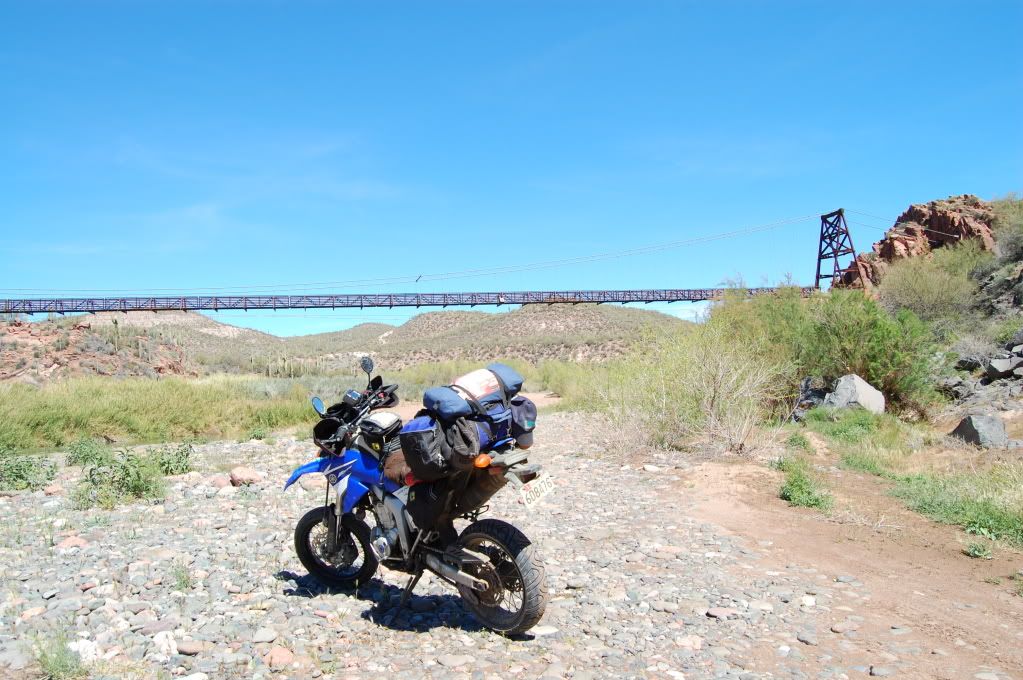
A little history
Walking across the bridge
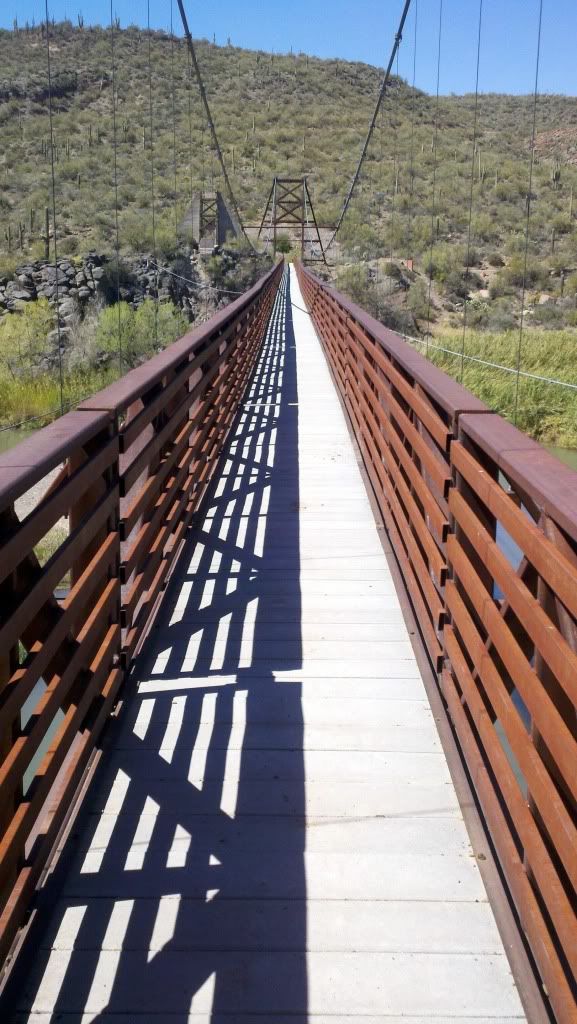
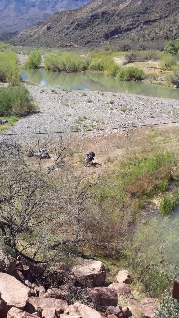
Why walking? Because of this nightmare:
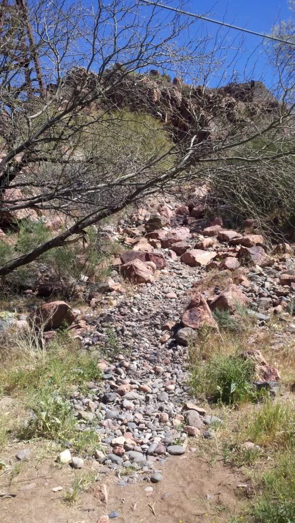
It gets worse above the top of the lip you can see in the photo. There's several big ledges, lots of big loose rocks, lots and lots of smaller loose rocks, and more steps and rocks. I tried. I tried several different lines. I tried loaded. I tried unloaded. I tried walking her up. Maybe if I was a better rider. Maybe if I had knobby tires. Maybe if I had a real dirt bike instead of a loaded up dual sport. Maybe if I had come from the north like every ride report I've read of doing the sheep's bridge did. Here's as far as I got before the rear tire just trenched in and started doing a nice smokey burnout in its new hole.
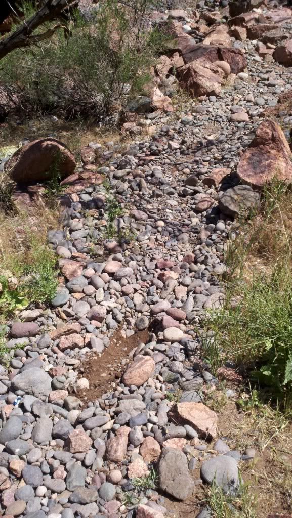
All I suceeded in doing was wearing myself out... and breaking my throttle tube when i dropped it hard on the right side. Fortunately, I was able to break my throttle grip free once again and break off the offending pieces of the throttle tube so I could ride it out.
So back through the desert I go, back under the dam, and back to town the way I came in. Feeling a little defeated and foolish I ate lunch at a Dairy Queen, fashioned a new throttle grip out of electrical tape, said screw it and got moving. I'll have to figure out the grip later.
The sunset and the last I would see of Arizona.
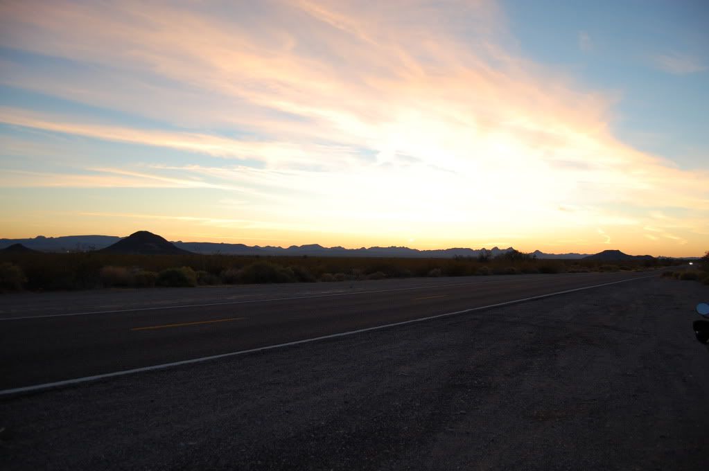
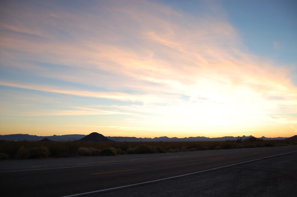
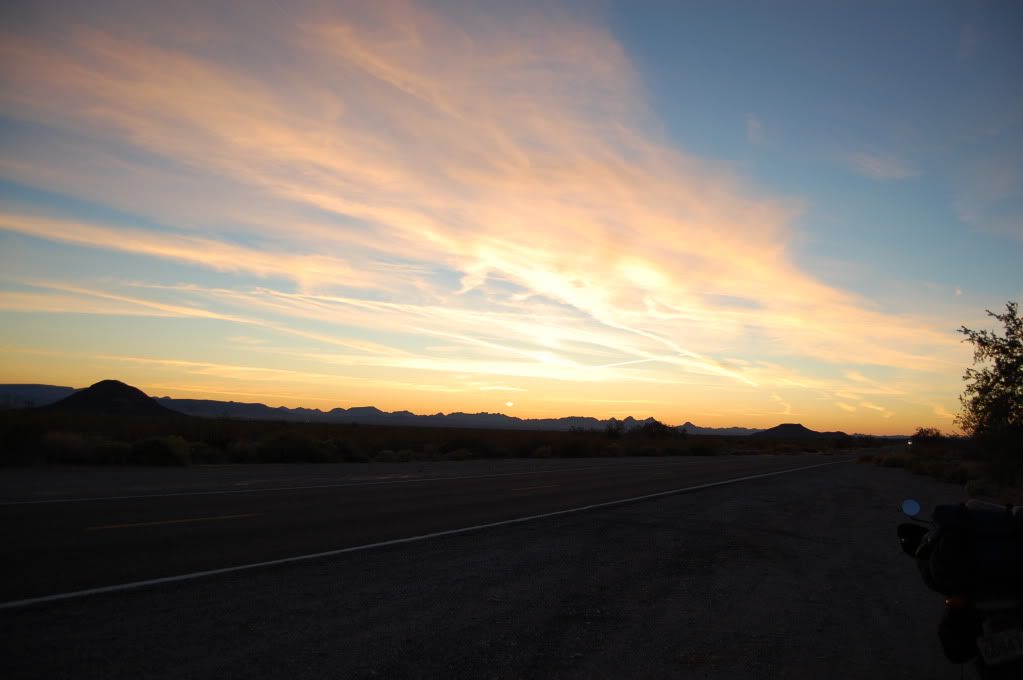
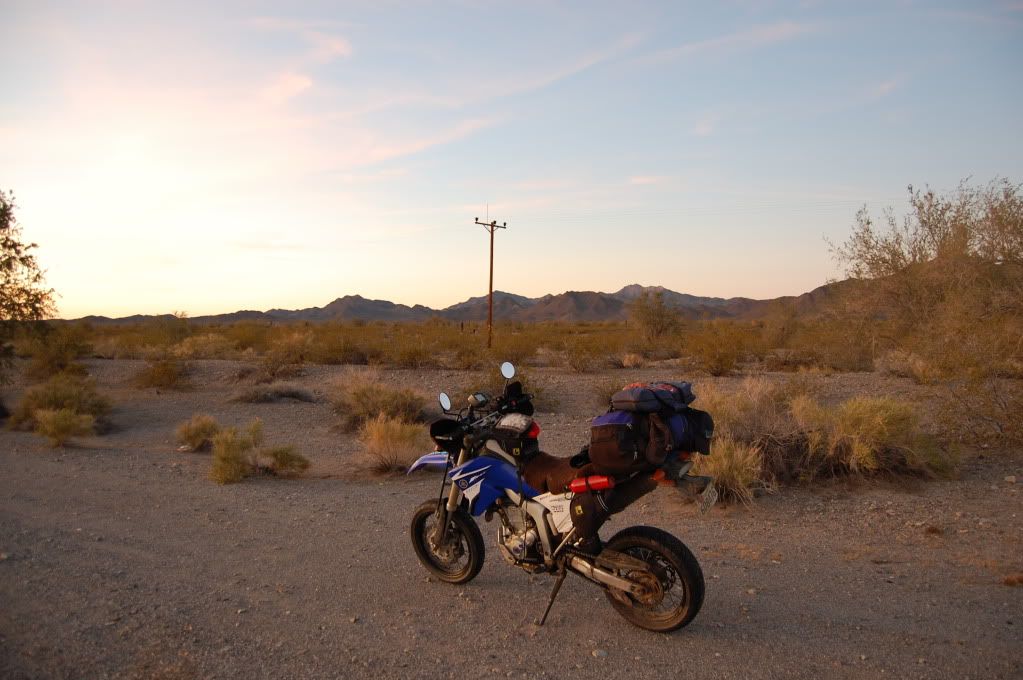
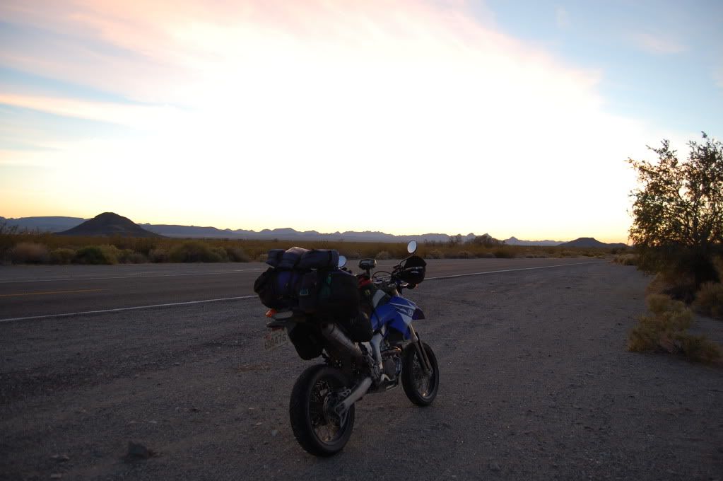
I eventually limped my way into California and crashed in a fleabag motel in Needles, CA. Tomorrow I'd play in a new desert, one I've been through but never actually seen until now.
__________________
2008 Yamaha WR250R
|

12 May 2012
|
|
Registered Users
HUBB regular
|
|
Join Date: Jul 2009
Location: Fairbanks, AK
Posts: 82
|
|
Over the course of various cross country trips back in the day, I've crossed the Mohave desert 4-5 times and somehow always at night. I've never actually seen it. Today, that would change.
Thursday March 22
Left Needles on historic Rt 66 (pre 1937 alignment) and headed towards Goff and the Mohave preserve with the hopes of doing some desert explorin'. Shortly out of town I came across a honey stand with free samples
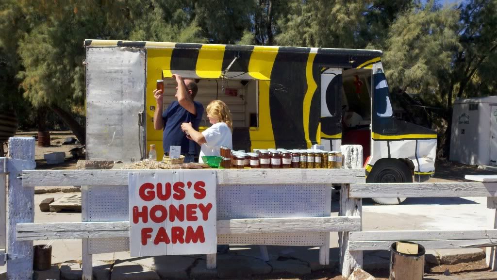
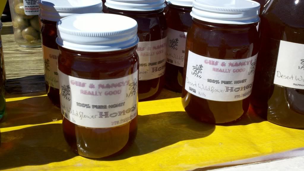
So yummy...
Through the nearly-a-ghosttown of Goff, I headed out into the gravel and sand roads of the Preserve unsure really where I was headed or what I was looking for. I had a few way points marked in the park that I got from Mark (BigDog) that looked intriguing but the general idea of the day was to just wander and explore in a northwesterly direction. The main roads were hard packed graded gravel... the smaller roads were deep sandy two track that I really had no business being on lol. Some places were rutted out badly and full of deep sand and I quickly grew tired of the sand and dodging cacti. I thought I had taken some pictures but they're not on my camera or phone, so I guess I didn't, but it looked a lot like what I've seen of Baja. Lots of sand, lots of big whoops, lots of sand, and some occasional rocks.
Back on to main roads, I followed signs to another cool cabin
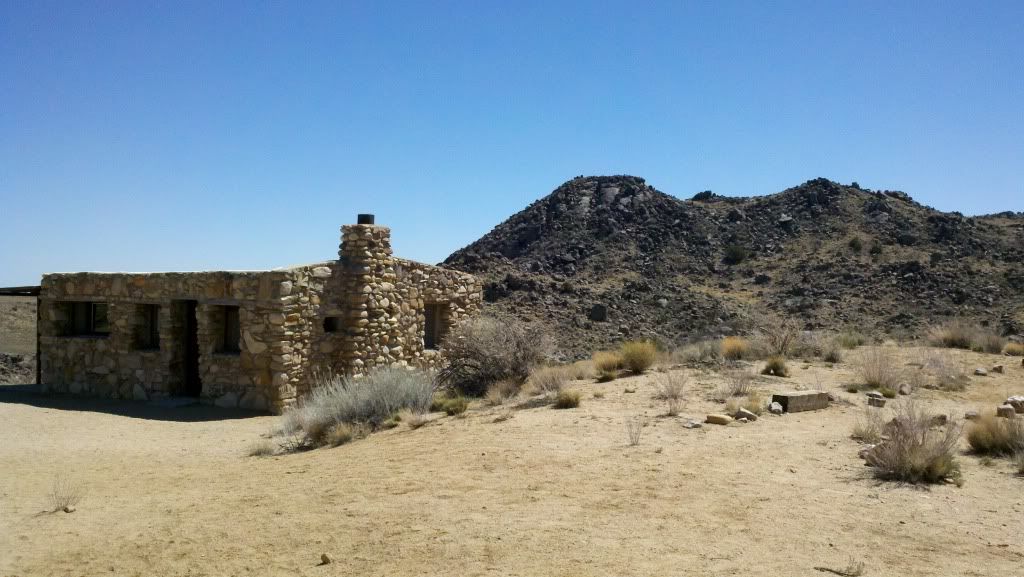
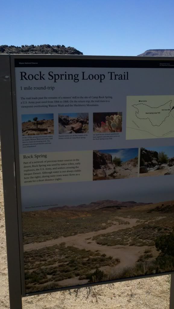
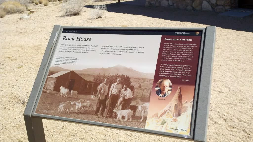
It was beautiful and quiet out here, and I could see living here if I had running water and a/c in summer lol.
I got a little lost again leaving the Rock House but generally followed established trails and roads. I was surprised at how many cars and trucks I saw out here as I wasn't expecting to see much of anyone. To be fair, they seemed equally surprised to me so lol. On one of the roads I came up on a car with the doors and trunk open and a man and old woman standing next to the car. I slowed down as I passed and asked if they needed a hand. "Nope, we're just pulled off to have a picnic." Ah ok cool, have a good... "Hey, you want a  ?"
Hell yeah I want a  ! The man was taking his mother out to see the grown grandkids out in California or something like that and both decided the best way to do it was to rent a car and drive, staying on back roads and just seeing everything. Very very cool. Shared a couple Sam Adams with them, they fed me some of the rotisserie chicken they had in the trunk for lunch, and enjoyed a little desert roadside picnic. Why not?
As I looked into the distance, I noticed that the road I was on intersected a paved road... but then continued straight out into the desert, winding along like a sandy snake to the horizon. It looked like the direction I wanted to head-ish and I had plenty of gas and there was a town at the other end, so instead of pavement I kept going straight on the Mohave Road.
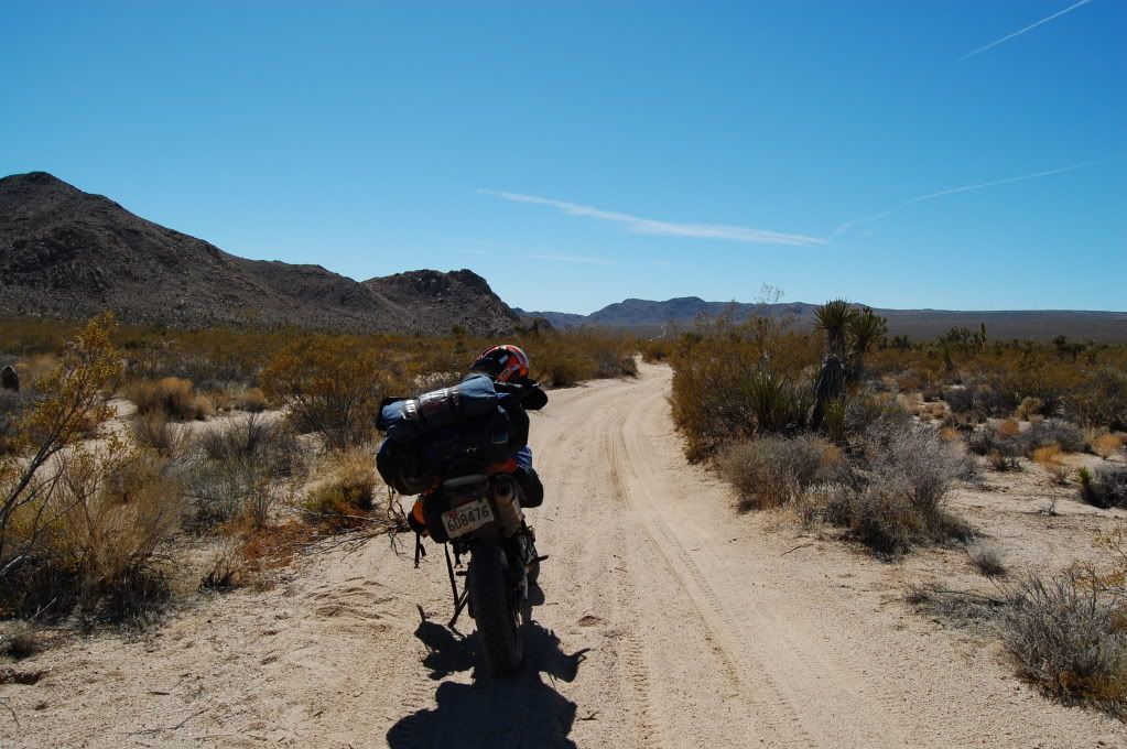
This is about 8 miles in to it and was one of the nicer sections. You can see the road continuing off into the distance. Most of it was DEEP DEEP whoops, and utterly exhausting to ride on my loaded up street bike. It went on like this for about 30 miles, where it split off and continued like this for probably another 40 or 50 miles. I turned and followed another sandy bit of two track to the base of a mountain where I had a waypoint for a spring. Sure enough there was a spring there, but all that really marked it was a clump of lush tall grasses, a small tree, and a water trough for livestock.
I loathed going back on that road, back the way I came, and did not want to continue on it out into the desert, so instead I followed the cut off I took from the spring towards the road I crossed early and towards the town of Kelso. 5 miles later, the road ended at a Wilderness marker stating that everything beyond this was now federally designated wilderness, no vehicles allowed. ****. **** **** ****. My GPS showed it to be about 10 miles or so back to the main road... ok go for it, how bad could it be?
Bad. Real bad. Real real bad. The sand was deep enough that I didn't need the kickstand when I got tired. The 'road' devolved into a sandy wash and eventually split, several miles in, at a large rock outcrop and continued in both directions. I was too far in at this point to turn around... then I spotted powerlines on wooden posts. Where there's utilities, there's a utility road, and that has to lead back to a real road and/or a town eventually... I cut across the open desert and eventually made it to the powerlines, and followed it down a 15 mile long sandy two track path back to the main road... I've never been so happy to be back on pavement. The closer 'roads' I had seen on my GPS had been long closed in reality and effectively did not exist. This was probably the dumbest thing I did on this trip, possibly ever on a motorcycle. I thought I learned not to go down random closed roads and trails on my TAT trip or that one time in Western MD when I ended up on the wrong side of a guard rail after bushwacking through the woods, but I guess I needed a reminder.
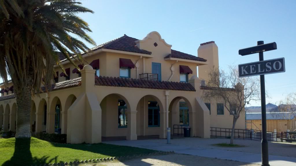
I ended up in the town of Kelso, and ate at the train station. Cool little place for sure.
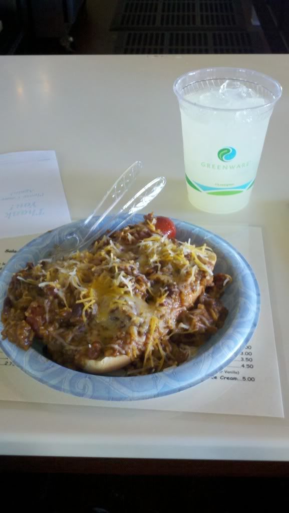
Chili dog!
Back on the pavement, I headed north towards Death Valley with slim hopes of making it to a campground before dark.
Another cool park near the Valley
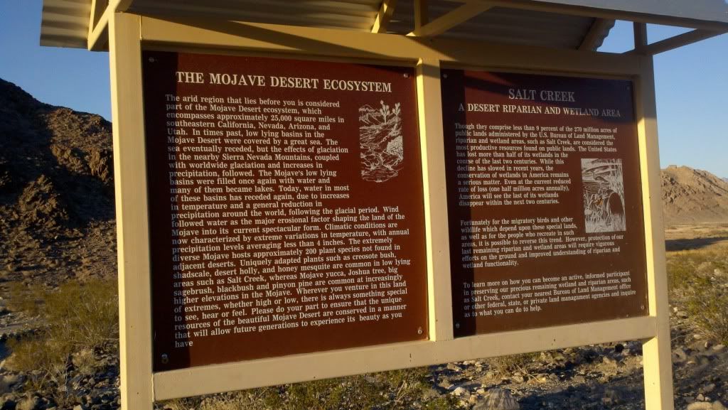
Shortly before sunset I came to the town of Shoshone. There I found a gas ($5.70/gal for premium) and a campground that was cheap and had a pool fed by a warm spring, and a bar to get breakfast and dinner. Good enough, close enough, no reason to push it further today. Grubbed, soaked, and slept like a baby.
__________________
2008 Yamaha WR250R
|

12 May 2012
|
|
Registered Users
HUBB regular
|
|
Join Date: Jul 2009
Location: Fairbanks, AK
Posts: 82
|
|
Friday March 23.
"Yea, though I walk through the valley in the shadow of death, I will fear no evil."
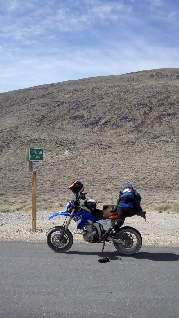
Up relatively early, got breakfast at the town diner, and left Shoshone on Jubilee Pass Road (2500ft elevation) and dropped down to Badwater Road, heading to the lowest place on the continent, Badwater Basin. The road through the valley was mildly interesting, as instead of burning straight across the playa it hugged the cliff walls on the east side of the valley. The wind and temperatures kept things interesting too, as did the traffic as there were more than a few RV's and other family sized vehicles out and about on the road. Guess that's what I get for coming on a weekend when its still pleasant in the Valley? On a rare straight and empty stretch, I did manage to top the bike out in 6th gear finally, at 93.9mph banging off the rev limiter. The shorter rear tire and gearing definitely helped, dunno if she'd be able to do the ton or not but its nice to know I've used all of the available motor at least once.
It's all uphill from here...
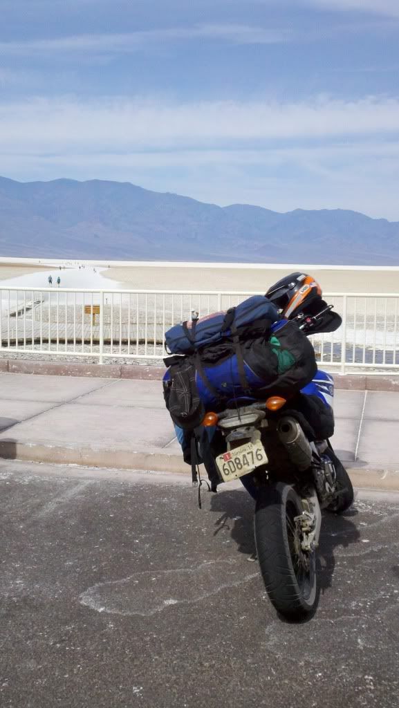
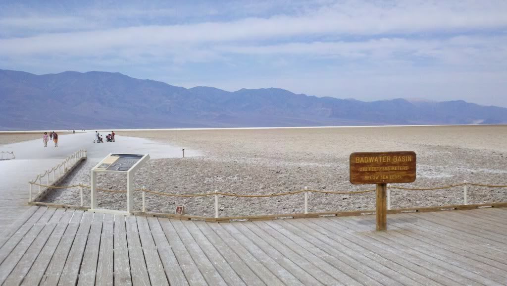
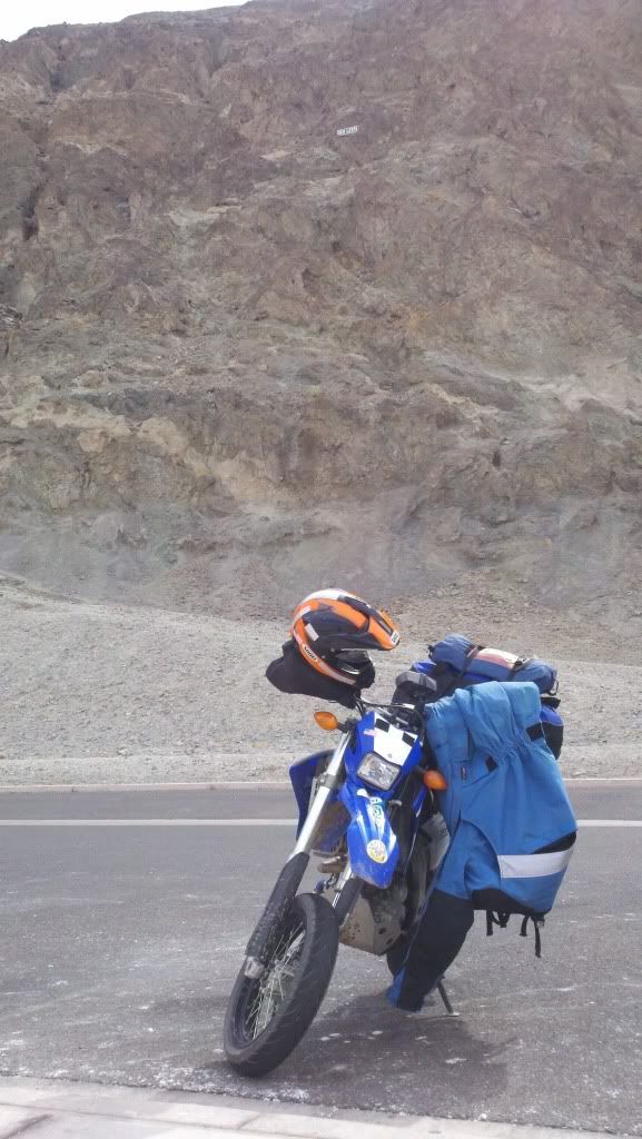
See the sign on the cliff above the bike? That's sea level.
More at Badwater Basin
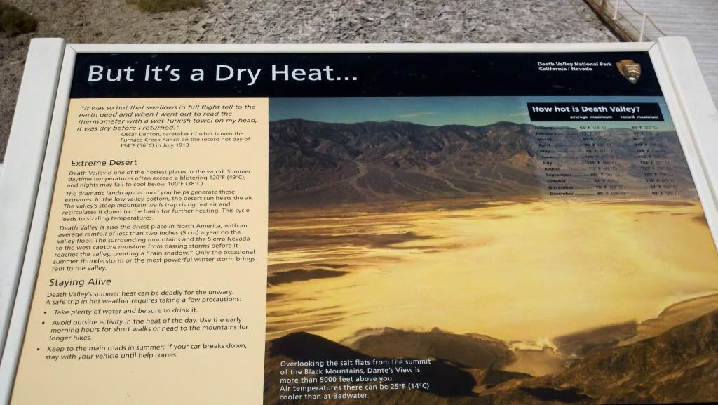
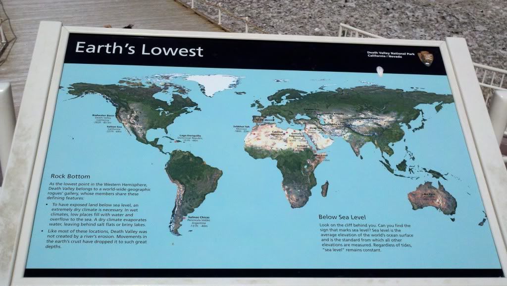
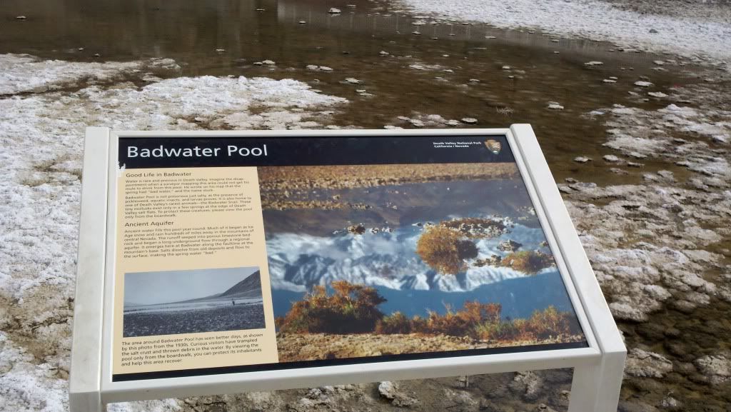
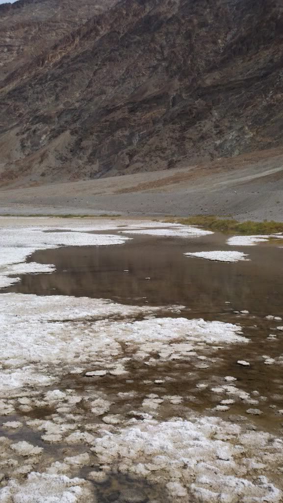
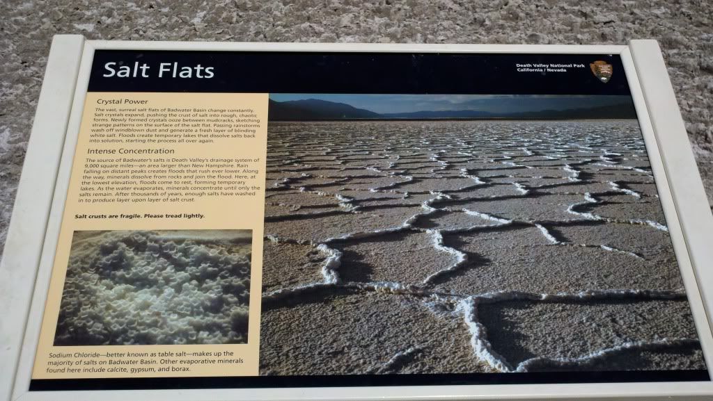
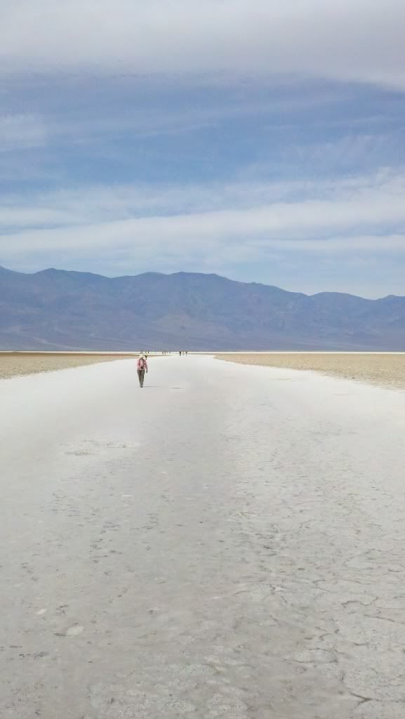
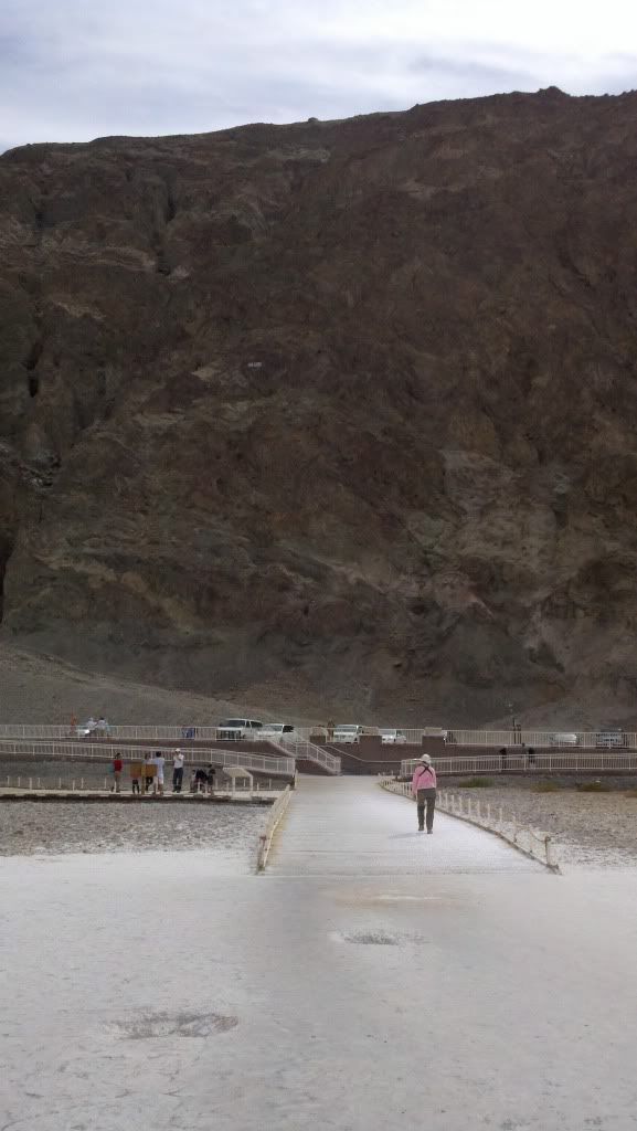
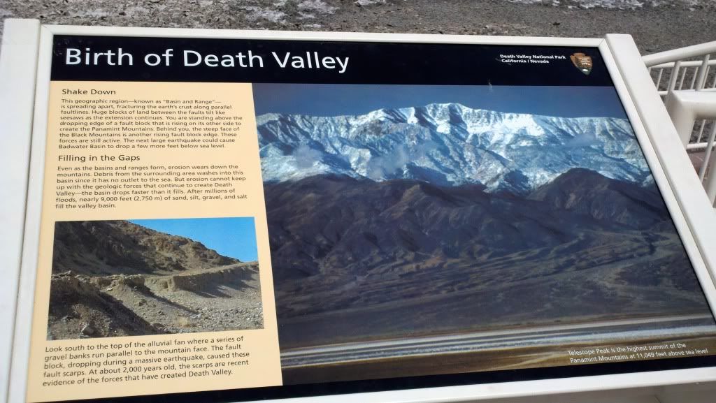
I had to chuckle when I saw a foreign tourist reach over the side of the walkway to grab a handful of water from the badwater pool for a drink. He promptly spit it out of course, but seriously... its called BADwater because the guy's mule wouldn't drink it after walking across the desert, why would you try?!
The basin really is sublime, despite the tourists. Nothing here is on any sort of human scale. The mountains overlooking the basin are well over 10,000 feet and simply tower so far above that everything feels flattened in an attempt to make sense of the gargantuan scale. I didn't bother taking my DSLR out because I knew it would simply fail to capture the scale and grandeur around me because my senses had failed me too.
Up and back out of the basin, I gassed up at Furnace Creek ($6.39/gal for premium if I remember, thankfully only needed a gallon), chatted with a group of ADVRiders who were waiting around the pumps for another friend to show up. They were all out on big bikes (KTM ADV's, BMW GS's, etc) and enjoying the faster, longer desert roads and two track that were more or less verboten to me now thanks to tires and gas range. Didn't stop me from pushing it later in the day however...
Climbing out of the valley, remember about 50 miles prior to this I was at -280 feet elevation.
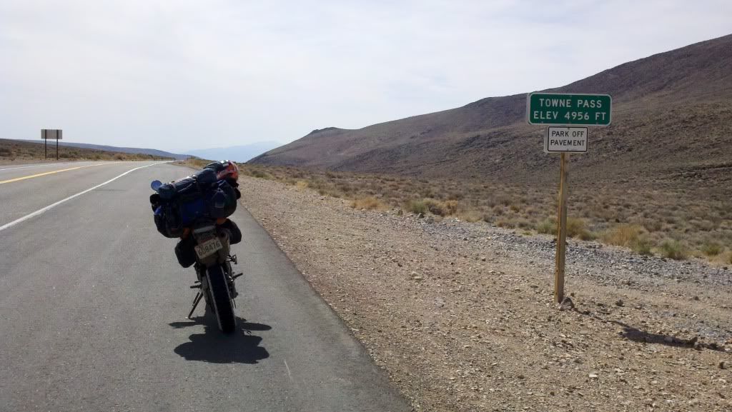
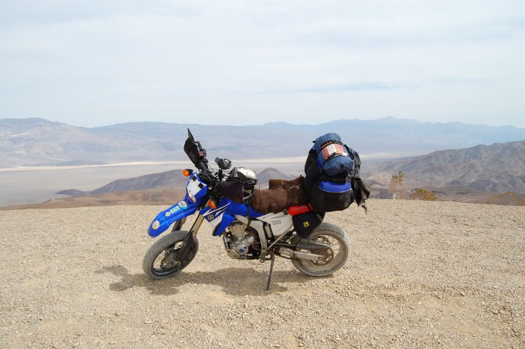
I got lunch and gassed up again at Panamint Springs (under $6/gal, but again only needed another gallon. If you're only carrying 3.75 total with reserve bottles, no reason to pass up gas out here) and continued out of the basin. Overlooking the valley... Goodbye Death Valley!
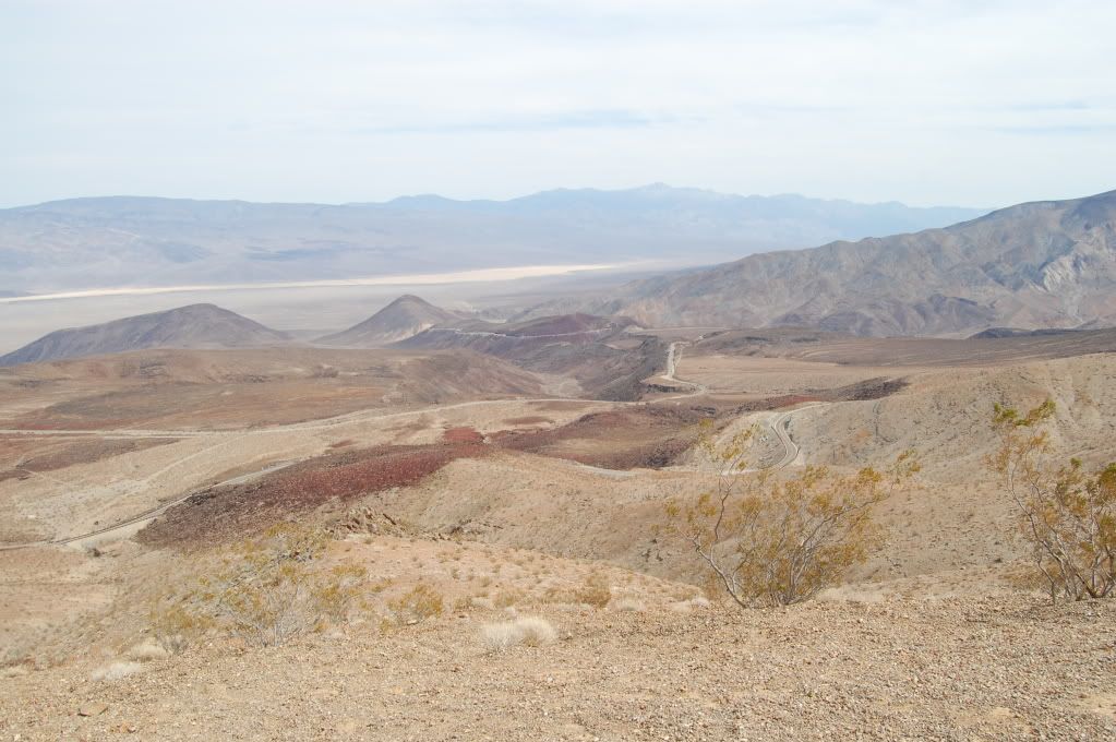
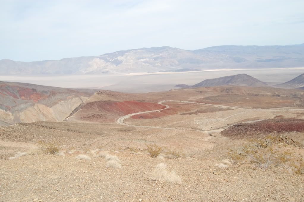
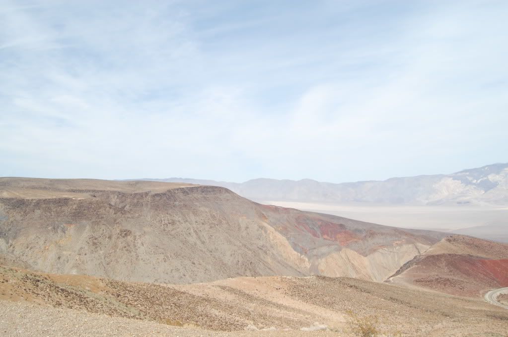
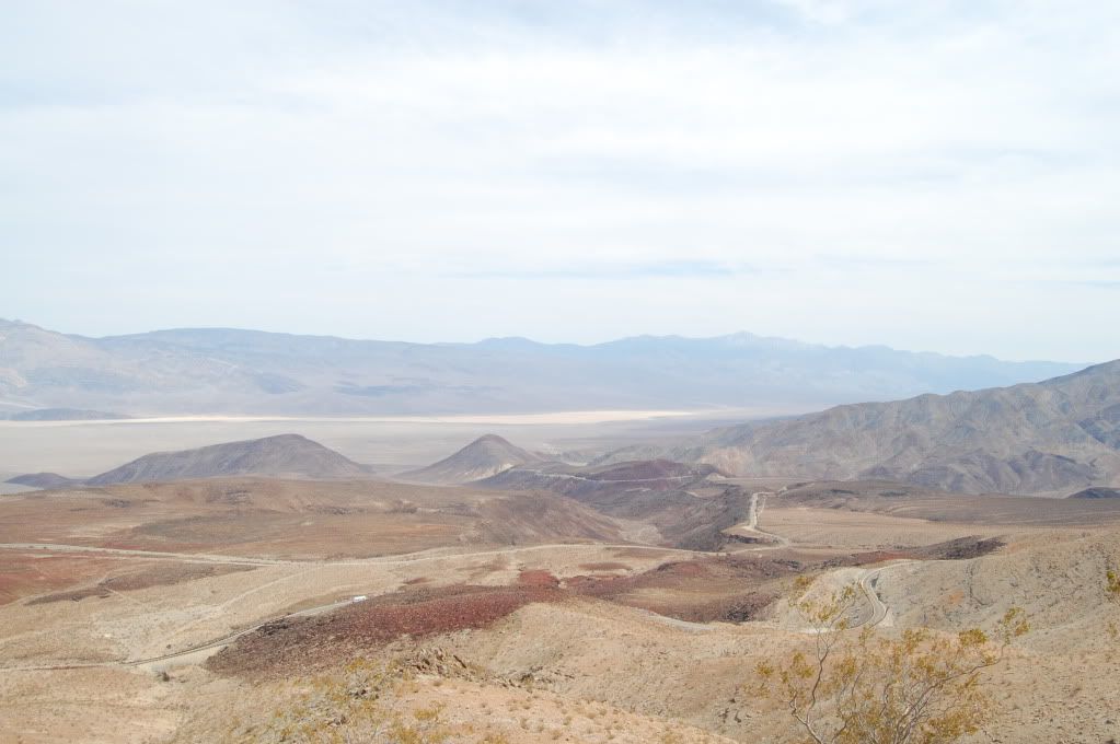
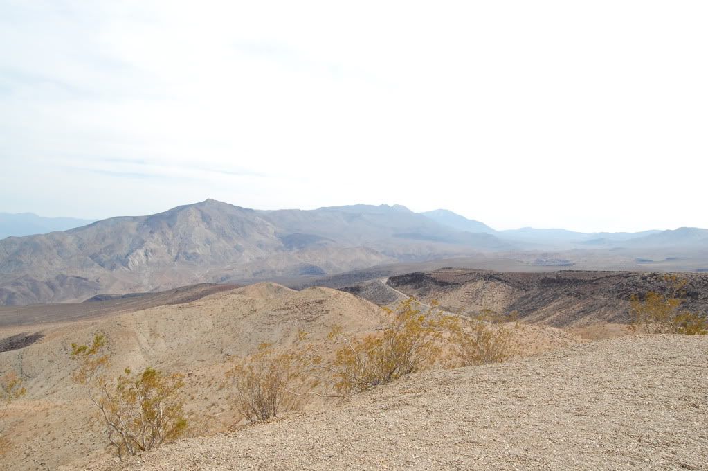
Ok, time for one more adventure. Shouldn't bee too bad, the road is reported to be kept purposely awful to keep the meek and timid from wandering out here. Saline Valley Road. "Officially" it's closed by the Park Service to prevent the foolish from venturing out, but it is open. And there's a hot springs in the middle. I could use a good soak...
Well the joke's on me. Saline Valley 'Road' just simply beat me up. The sections that weren't horribly washboarded, and by washboarded I mean damn near mini whoops 3-4" deep spaced about a foot apart causing a teeth chattering ride at just about any speeds I could manage safely on street tires, were either full of deep sand or big rocks. By the time I reached the turn off for the springs I was exhausted and worse the sun was setting fast. I did not have provisions to stay the night as I hadn't planned on getting caught out overnight (dumbass) so instead I kept going. The wind picked up near the dunes causing the road to disappear under the silt and visibility dropped to something resembling pea soup fog. The sand washes and washboarding and rocks wore me out, wore out my rear shock for sure too. Don't be an idiot like me and attempt this road on street tires on 17" wheels. You want knobbies, you want a 21" front, and you need a bike that can get up and run on top of the washboarding to smooth it out with suspension that can handle it if you want to spend any real time out here.
However, the single coolest moment of my trip happened out here. As I was descending into the valley, I got buzzed by a F16. He was close enough to the ground that I could make out the pilot and the markings. The roar from the jet nearly made me crash as its sound triggered something in the death center of my brain that locked me up, until I realized what happened. **** yeah America!
Climbing out of the valley:
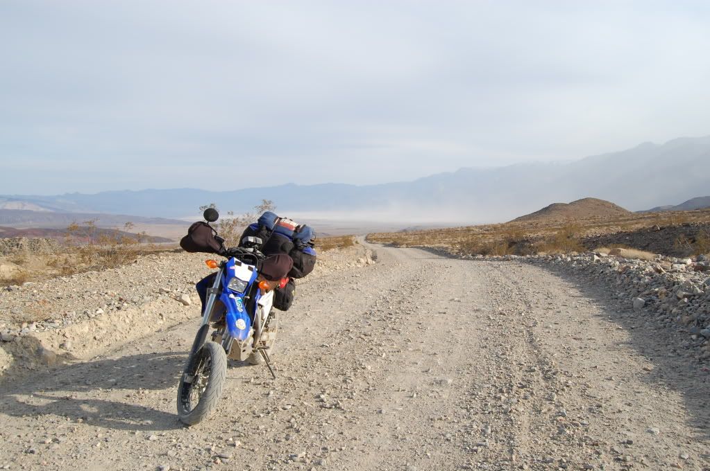
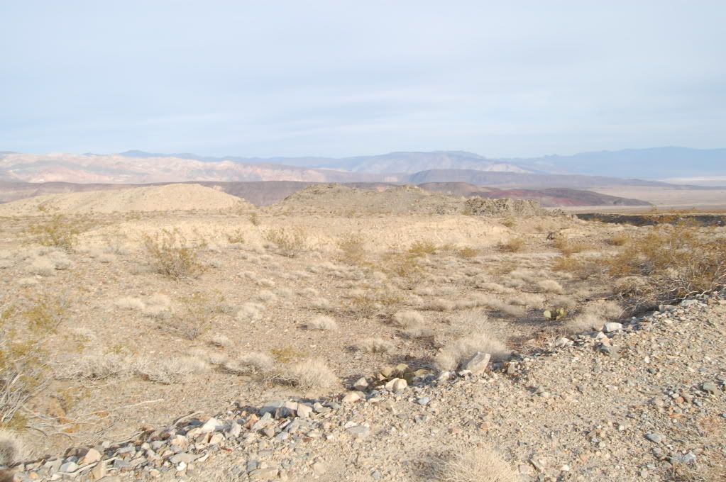
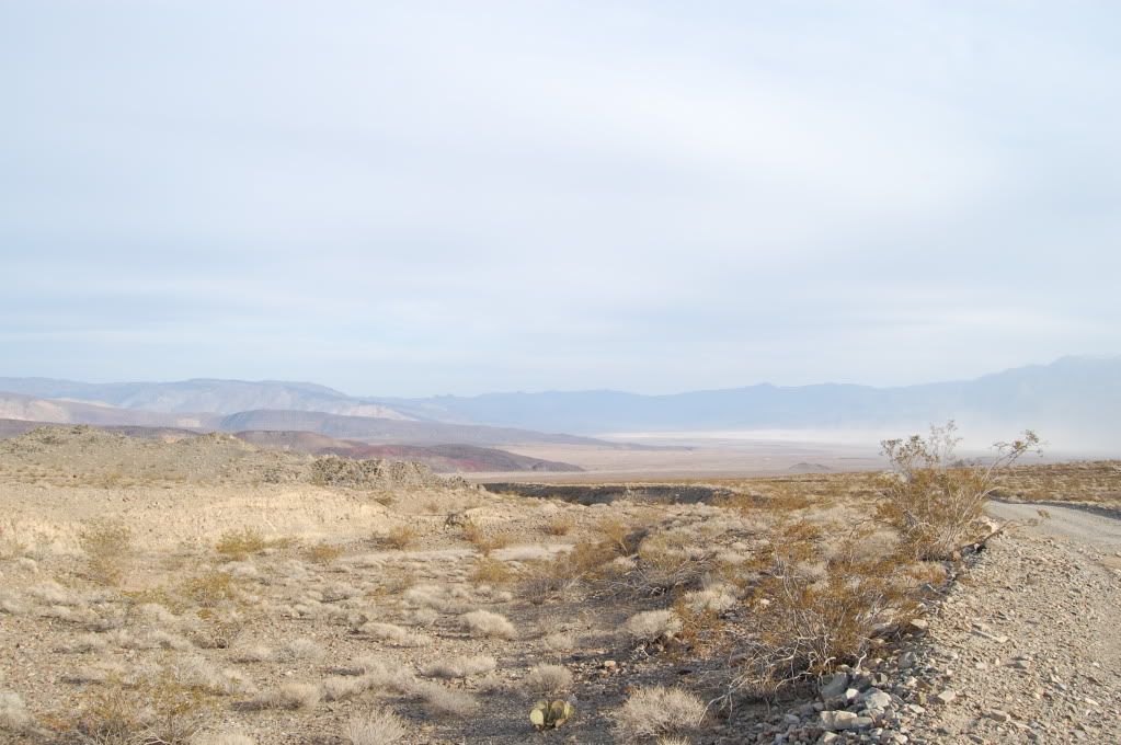
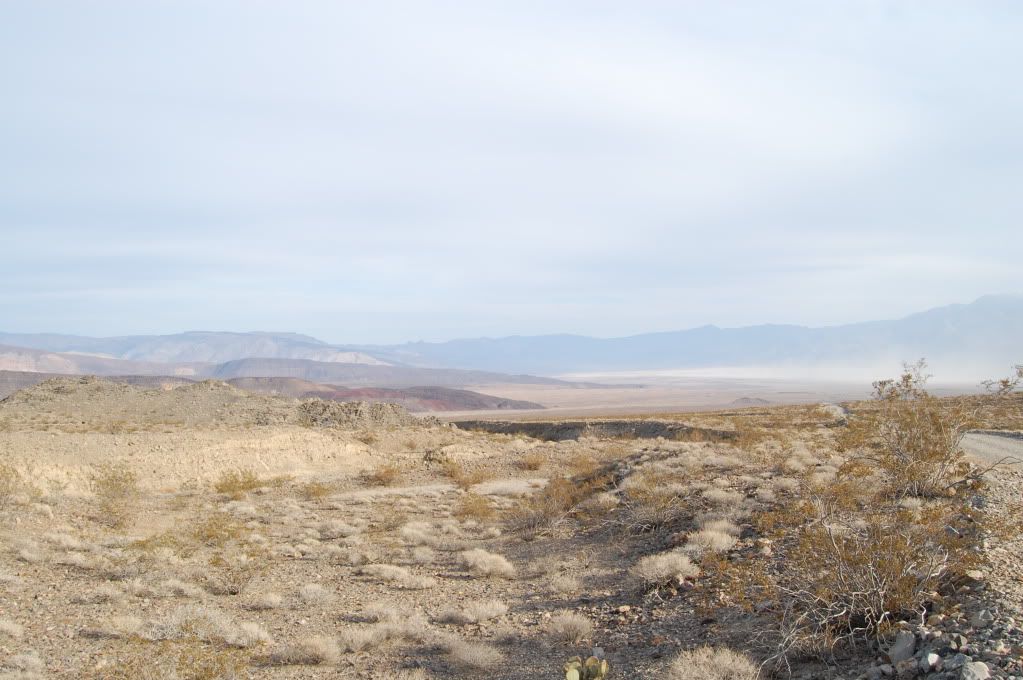
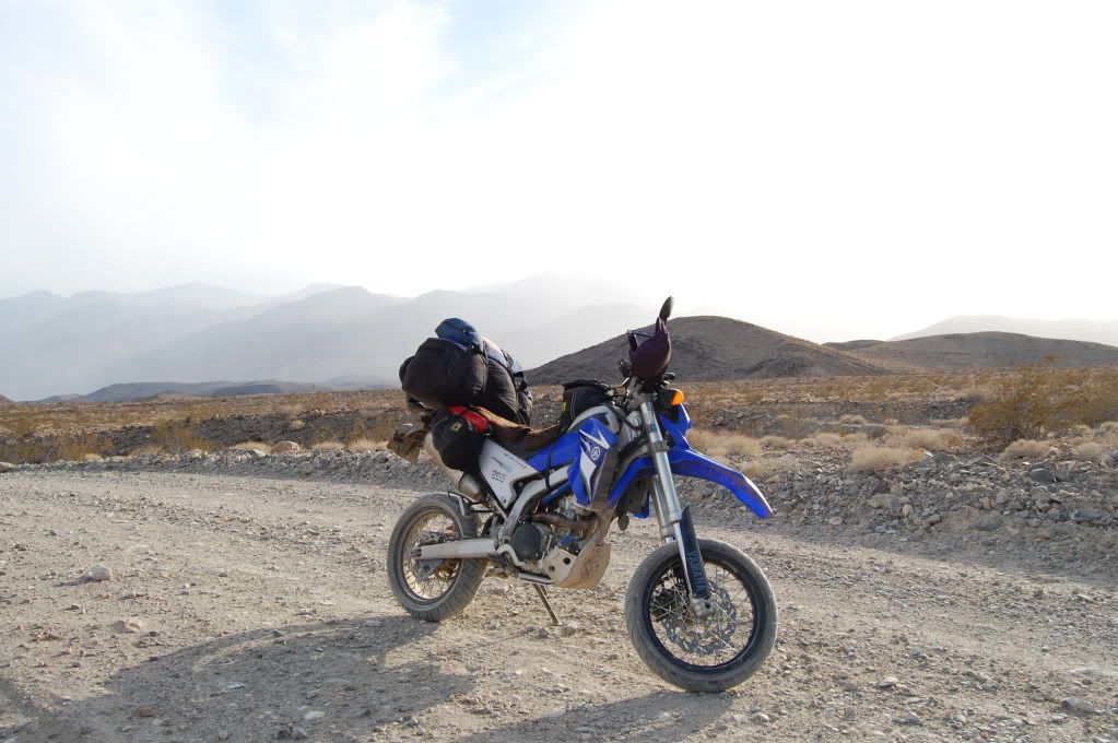
Once I crossed into the bristlecone forest in the Inyo National forest, the road suddenly when from shit to smooth graded dirt awesomesauce.
Up around 7000 feet:
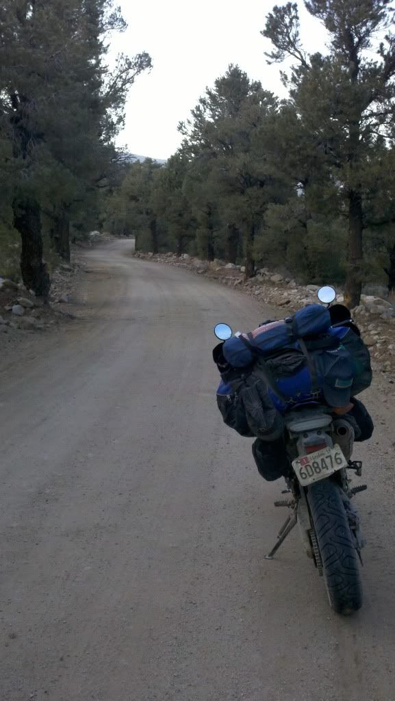
I popped out of the desert into a pine forest and the High Sierra with almost no warning. I ate dinner in the little town of Big Pine and grabbed a hotel in Bishop while my brain tried to wrap itself around the massive and total change in scenery.
Tomorrow, I make for the coast.
__________________
2008 Yamaha WR250R
|

12 May 2012
|
|
Registered Users
HUBB regular
|
|
Join Date: Jul 2009
Location: Fairbanks, AK
Posts: 82
|
|
Saturday March 24
Up and out of Bishop earlyish in the morning, just long enough to get breakfast on the cheap at the Denny's across from the hotel, then heading up US 395 looking for a way over the Sierras without backtracking south several hundred miles. It was cool, low 50's, when I left and the temperature steadily dropped as I climbed up in elevation.
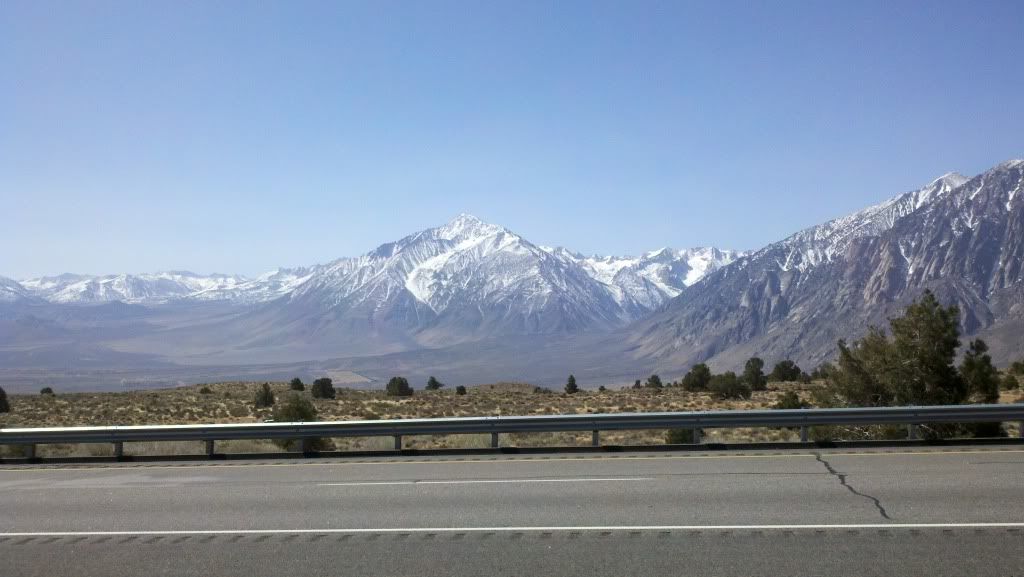
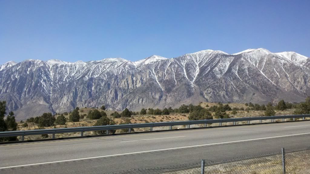
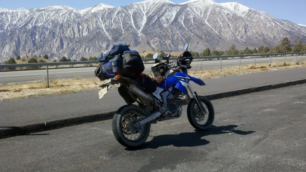
What a wonderful highway! Except for the short-ish four lane parts, it wound its way up from Bishop all the way to Carson City hugging the mountains and running up the valleys in long, winding curves. The first open pass as I went north was near Tahoe. I took the fun road (207) over the mountain into South Tahoe then hopped on my old friend, US 50. It was cool enough out that I didn't want to stop and dig out my phone or camera unfortunately, as it was stunningly beautiful. US 50, as I'm sure the Cali people know, cascades out of the mountains down to Sacramento before merging into I-80. It continued the mornings style of ride, easily and lazily twisting down out of the mountains. Outside of Placerville the storm clouds were gathering and the weather looked like it was going to turn wet. I stopped for gas and lunch, and called Charles (HardWorkingDog) to make sure I still had a place to stay for the night. Fortunately I did and hence I made my way to the city by the Bay.
On my way through Sacremento, I passed a road sign that was unfortunately on the other side of the highway that read off the distances to various towns along US 50. The last... Ocean City MD 30 37.
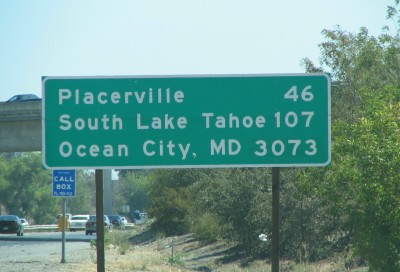
Since I was a kid, every time I went to the beach, I was greeted by its counterpart that read "Sacramento CA 3073".
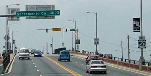
Word is the California sign is the typo, and is also a replacement sign. Cool story overall
The Sign Battle Saga
Starting down on I-80, then 680, and finally to Charles' house for the night. I had made it, I finally rode to Pacific! I didn't care that it was raining, I didn't care that the traffic was kinda bad and the roads worse, I finally made it! To add the hospitality of a dry garage, good food, and a comfy bed was great, especially since Charles helped me swap my front sprocket to a 14T to get back some cruising speed now that I was out of the mountains and likely to be close to sea level for the rest of my ride and some other maintenance, laundry, etc. His wife's 3-berry jam ruined me too, every other jelly or jam I've had tasted since like garbage.
Sunday March 25 - four days to catch the ferry!
The next day I rode across the Bay Bridge, down the Embarcadero, and stopped in Golden Gate park for a photo a long time coming...
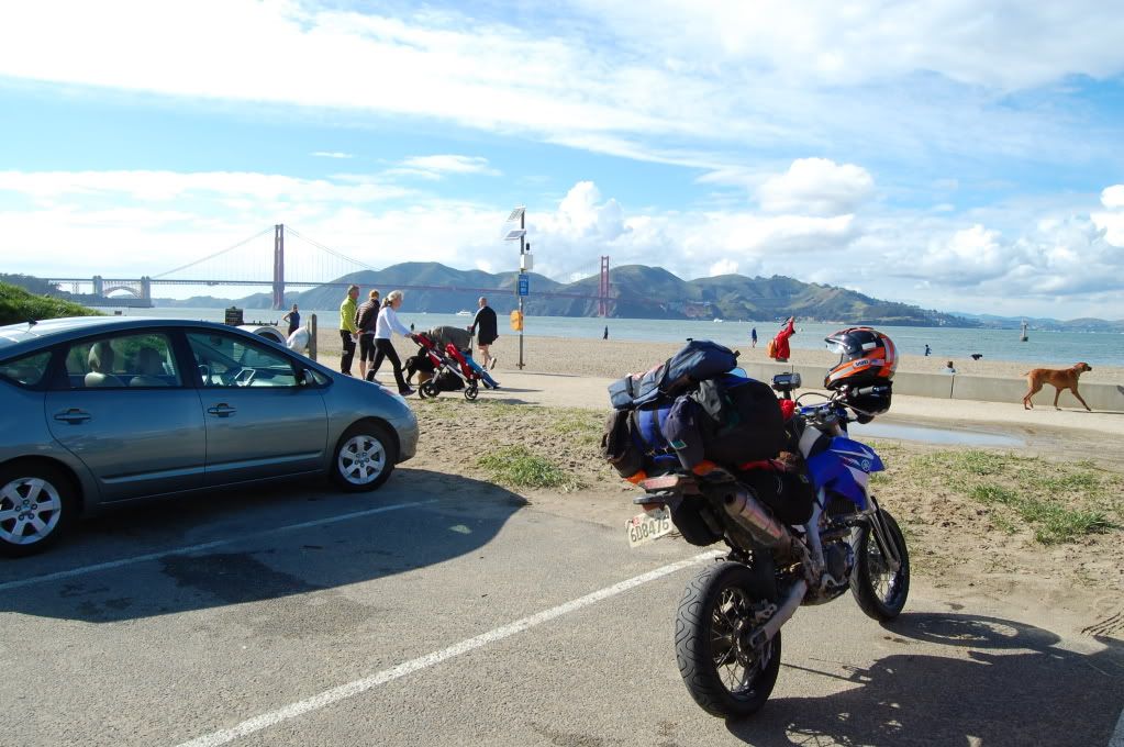
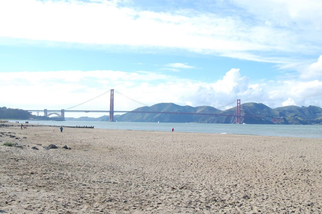
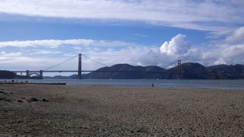
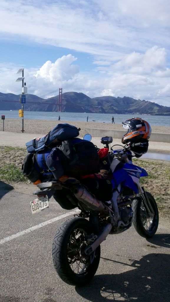
Time to ride up the coast...
__________________
2008 Yamaha WR250R
|

12 May 2012
|
|
Registered Users
HUBB regular
|
|
Join Date: Jul 2009
Location: Fairbanks, AK
Posts: 82
|
|
Sunday March 25, continued
Left the park and headed up and across the Golden Gate Bridge. About halfway across, looking out over the Pacific and back over the city of San Francisco, my mind flooded with the memories of the previous three weeks and last two big rides, and here finally at my goal I was overwhelmed by the moment and started crying. I had to pull off on the first exit across the bridge to collect myself before continuing up to CA 1 for my ride up the coast. The afternoon stayed clear, cool and sunny as I motored north and watched the sun slowly fall into the Pacific for the first time.
And the road... jesus what a road! I've never seen anything snake in and around and back in and out on itself so many times. Thank God for the law that makes slow cars use the turn outs to let faster traffic through, and the fact that people actually do it. I really really really wished I wasn't on a loaded up bike with a nearly worn out suspension.
There is a totally and completely different feel to the Pacific coast vs the Atlantic Coast. There weren't tourist traps everywhere, it felt more lived in instead of lived on, like riding through someone's back yard instead of past miles and miles of storefronts and trinket shops. It also meant there weren't a ton of places to stop for food or gas. I stopped at the bridge over the Russian River at the Indian place there for dinner...
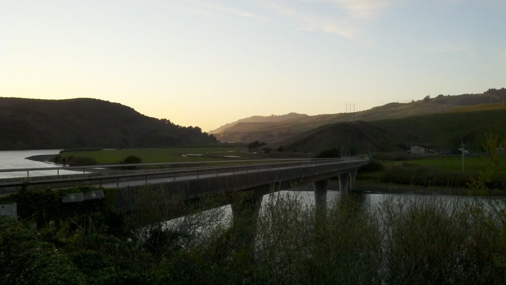
With the sun fast setting and a belly full of Vindaloo, I kept riding beyond what was probably reasonable or sane. It was dark, no street lights or moon light to light the road, rock slides, cows in the road, random traffic, and it started to get cold and foggy. I tried camping in several of the parks on the way up, but I refuse to pay $25-30 to set up a tent for the night. By the time I hit Westport I was completely spent, mentally and physically, and resigned myself to stopping wherever the next camp ground was, money be damned. Fortunately a few miles later there was a KOA. No one at the gate since it was well after hours, so I slipped in and set up shop for the night.
And I froze. Even in a 0 degree bag in a tent, the soggy cold ocean air robbed me of warmth at every chance to the point that I barely slept all night. It was easily one of the coldest nights I've ever spent outdoors, at a mere 40 degrees and drizzling.
Monday March 26
After a night of little sleep, I was surprisingly refreshed when I woke up but still uncomfortably cold. The skies were grey and sullen, but at least I managed to get up, packed, and out before the campground opened. Score one for my budget, and considering I didn't use any of their facilities except for the patch of ground I slept on I didn't feel bad about rolling out.
Pretty soon the road turned inland and rejoined the 101 for most of the day. At the junction, I saw a sign for the "Drive-Thru Tree Park" and of course I had to stop. And of course they were still closed, but I found my way in and around...
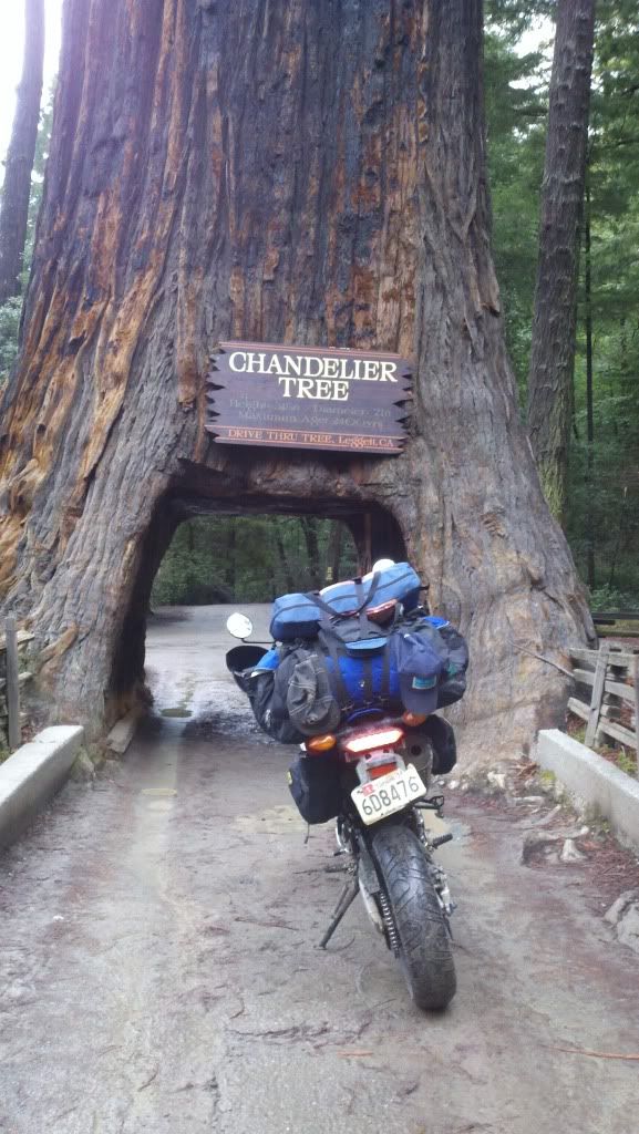
It more or less rained all day, so I was confined to my rainsuit and didn't stop to take pictures at all. It was just too much of a hassle to stop, dig out the camera or phone out of their respective waterproof sacks, snap a photo, bag them up, readjust the rain suit, and get moving again. I didn't stay on the 101 the entire time, taking the Ave of the Giants for example and the other scenic byways that paralleled it.
I was constantly amazed at how run down many of the northern California towns seemed to be. It reminded me of West Virginia with bigger trees, taller mountains, less industry, less pretty, and more blatant weed consumption. Maybe it was just the weather and fatigue wearing on me though. I stopped for breakfast outside of Eureka and ran in to a guy at the McDonalds who had just gotten back from spending 3 years living off of his R1. 90,000 miles on one and 60,000 miles on a second R1! We talked about my ride, his ride, how he packed (backpack with a change of clothes basically, nothing else), how he managed to stay comfortable (including several 1000+ mile days, to quote "It ain't hard to run 1000 miles when you spend three or four hours at 140mph :lol: ), why there aren't any more cheap hotels, how much food and gas have gone up in the last couple years, etc. It felt good to meet another long distance rider, someone you could tell just simply understood the 'why' without needing to explain.
Eventually... Hello Oregon!
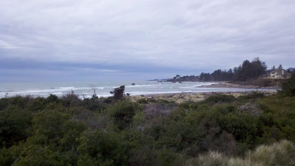
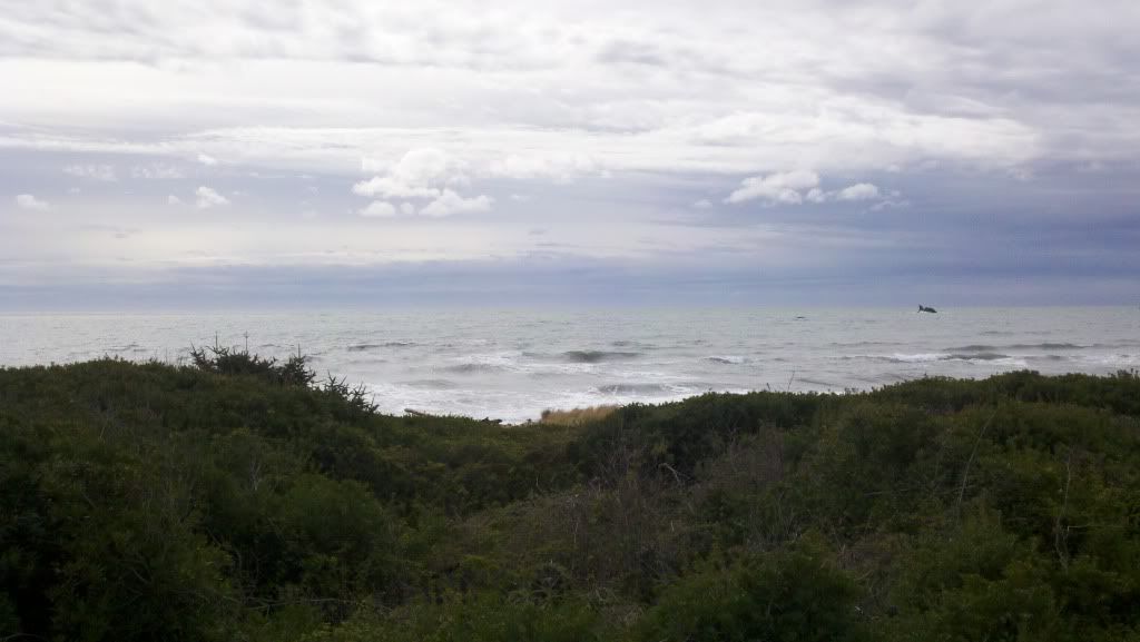
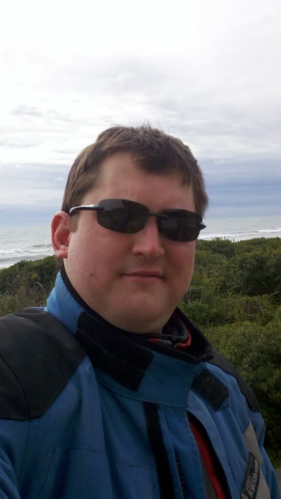
It stopped raining for a few hours and instead was just damp and cold, but eventually of course the rain returned. By the time I reached Port Orford the wind was howling in off the ocean from the south-southwest thankfully, giving me a push mostly up the coast and the rain was coming sporadically in sheets. I did try to make one stop, at Cape Blanco, which Oregon claims is the westernmost point in the lower 48 (wikipedia disagrees).
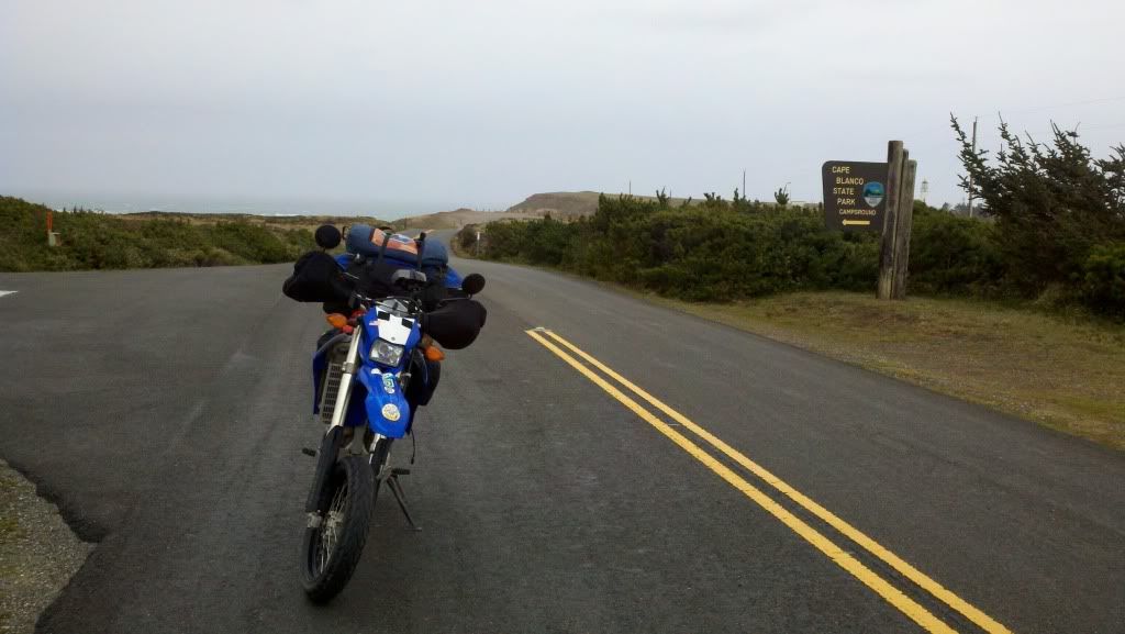
This was the dumbest and most dangerous picture I've ever attempted to get. See the little parking pad and turn around at the end of the road? I wanted ride down to that and get my picture there but the winds were blowing so hard it knocked me over while riding. I had to fight with all of my strength to get the bike back upright, turned around, and back to the road where there were some trees to break up the wind. I damn near got blown into the pacific, bike and all.
Eventually made it as far as Florence, no sign of the Machines but a nice, reasonably priced clean local motel with a good chinese place across the street and a hot tub and sauna for my aching bones.
__________________
2008 Yamaha WR250R
|

12 May 2012
|
|
Registered Users
HUBB regular
|
|
Join Date: Jul 2009
Location: Fairbanks, AK
Posts: 82
|
|
Tuesday March 27. Another no picture day because it was another day of all rain all day.
I kept following the 101 until I just couldn't take the slow traffic, dumb drivers (no wonder they don't let y'all pump your own gas), and shitty weather anymore, eventually punted around Lincoln City and made my inland to I-5. Burned up through Portland, which looked more like Pittsburgh or some other mid-sized Appalachian city than anything I've seen for a couple thousand miles, then jumped on US 30 North to stay off the freeway for a while and hoping for something more scenic, and crossed into Washington at Longview, where I got gas to avoid dealing with another Oregon pump jockey. Not much to say after this, I simply burned up the 5 to get to seattle as quickly as possible. A quick stop for gas in Centralia and to contact Clif, my host for the next couple days, to let him know I was close. Nothing like hitting a strange city in the tail end of rush hour in the rain, but I was absolutely amazed at the number of riders out and the way traffic seemed to flow relatively well and consciously of the motorbikes. I guess if you don't ride in the rain you don't ride up here...
Made it to Clif's in time for dinner and spent most of the rest of the evening drying out, getting cleaned up, and planning the next day's moto-tour of Seattle.
Wednesday March 28
One of my favorite things to do when out on the road, I think I've mentioned, is stopping by a town's motorcycle dealerships to see what there is to see and fortunately Seattle is blessed with some of the best. I should have taken more pictures, but... hindsight and all that. I almost have to come back through this way if I leave Alaska so maybe I'll do it then.
First up, the biggie... Touratech USA. They were interested enough to put me on their facebook page under "Parked out front"

I've bitched as much as anyone at the cost of Touratech farkles and basically had written them off as overpriced toys of the rich and overly gear obsessed... but goddamn this is a honest to goodness motorcycle shop run by guys who ride, love to ride, and love making great quality gear and garb for riders. Its one of the only places in the USA where you could literally ride up with a stock bike and money (lots of money) and outfit yourself for a round-the-world trip in one visit.
Second stop was the other end of the ADV spectrum, AltRider.
AltRider: Venture On
They focus on the non-german ADV type bikes (and the germans too, of course) and are kinda like the scappy, grassroots cousin of Touratech. Definitely more of a hooligan atmosphere here.
Had a long stop at Moto International, one of the best Moto Guzzi dealerships in the nation.
Moto International
Had a long talk with Dave Richardson about what's likely to be my new bike this fall, the V7 Classic, bike and Guzzi's in general, then had pizza at the pizza place across the street. The sun came out finally and the city felt like it suddenly came alive with it.
Next stop was Ride West BMW Ride West BMW Motorcyles - Seattle, Washington - We Ride, We Race, We are the Northwest's Motorcycle Touring Resource! . As I walked in the door, I heard two of the guys behind the counter go "Holy shit, an Ellicott City Motorsports sticker!" Turns out both of them were originally from Maryland, used to work at Bob's BMW (my local BMW shop) and were very familiar with the trials and tribulations of local dealerships back home. More looking at bikes and gear I can't afford, then a quick stop at Ride powersports, before calling it an evening and riding home under overcast skies. Spent most of the night bullshitting with Clif again and playing with the dogs, keeping everyone up past their bed times.
Thursday March 29
My last full day in the lower 48. A nothing day really, Clif's wife let me borrow the car to stay dry while I ran some errands (books and food for the boat trip mainly). Later in the day I dropped in to the Eastside Riders MAG (Meet and greet) at Celtic Bayou for  and food.

Friday March 30. End of the line, and new beginnings...
Got a late-ish start leaving Clif's house, but no worries at all since Bellingham was less than 2 hours away and I didn't have to check in until 3pm. A quick run up some back roads and some time on the 5 and before I knew it...
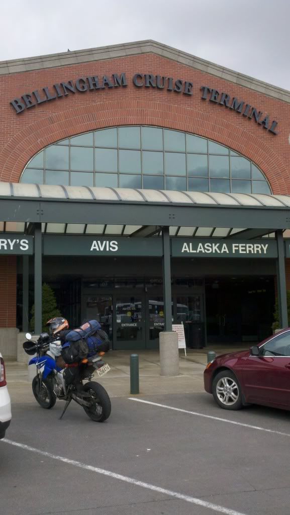
I had just enough time to get some food and buy some tie-down straps before it was time to board. Of course waiting in line it started raining but fortunately they let me on early to get out of the rain.
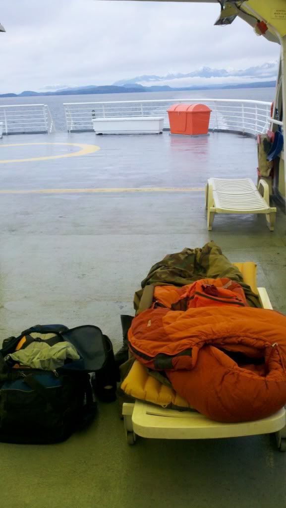
Off with my duffel, strapped and locked my helmet and 'stich to the bike, grabbed my camera, and headed up to the Solarium to claim a deck chair as my camp site for the next couple days...
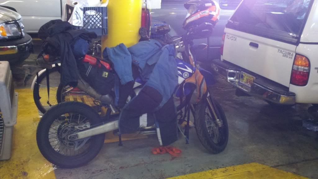
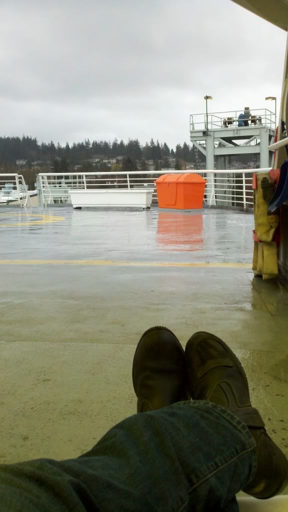
Bon Voyage!
__________________
2008 Yamaha WR250R
|

12 May 2012
|
|
Registered Users
HUBB regular
|
|
Join Date: Jul 2009
Location: Fairbanks, AK
Posts: 82
|
|
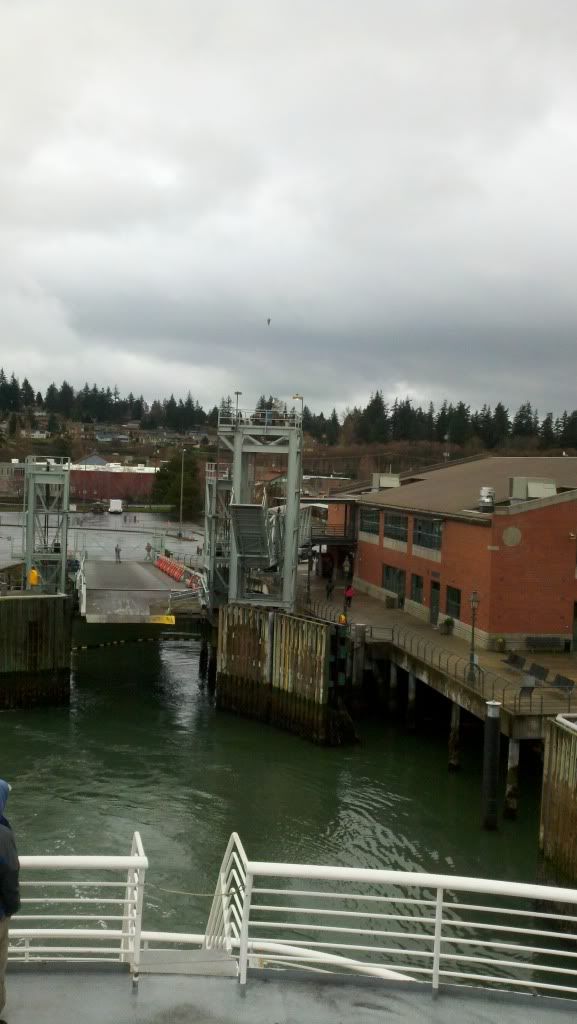
March 30 to April 2 - Alaska Marine Highway from Bellingham to Ketchikan on the M/V Matanuska, and from Ketchikan to Haines on the M/V Columbia.
Leaving the dock
Sunset off the bow
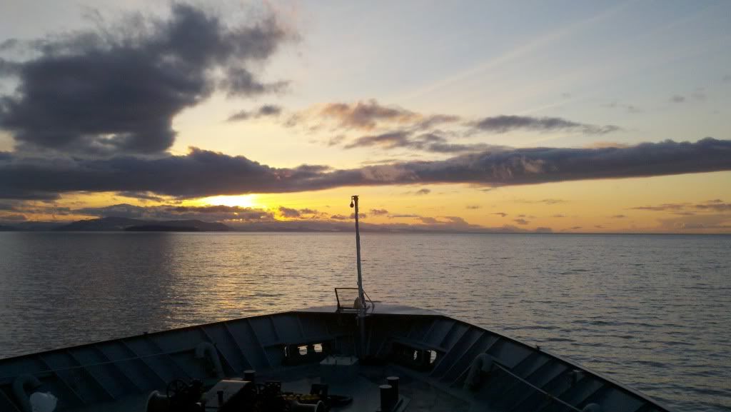
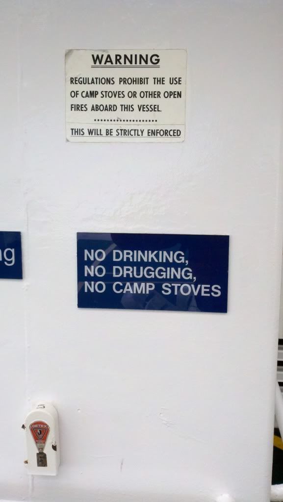
In order to bypass riding through the Canadian interior in late winter I took the ferry, properly known as the Alaska Marine Highway System, from its southernmost port in Bellingham, WA to Haines, AK. The first stretch, from Bellingham to Ketchikan, is by far the longest at about 36 hours. We left Bellingham at 6pm on the 30th and arrived in Ketchikan early on April 1st. Nothing to do but sit around and wait as we slowly sail up the Inside Passage. It was mostly dead calm except for the two or three sound crossings that were exposed to the open ocean swell. On the ferry, you can either rent a cabin, sleep in the lounges, or as I opted to do sleep on the Solarium deck. Its open to the air and has heaters to keep it warm, so even in winter its tolerable. Most of the nights it was below freezing but I stayed warm and comfortable (helped no doubt by my 0* down sleeping bag).
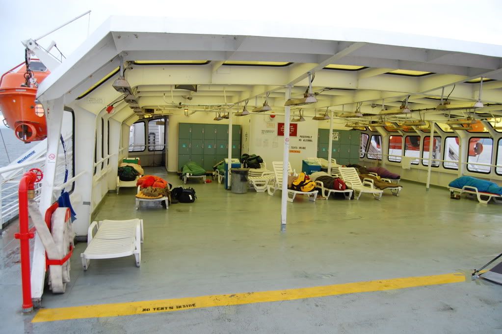
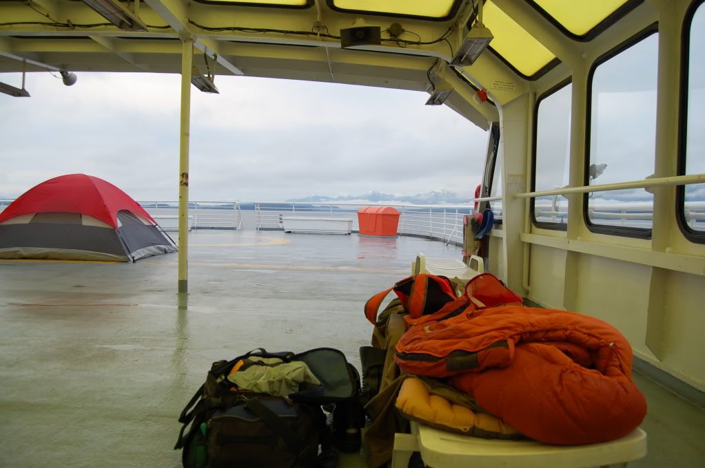
It was actually quite pleasant to sleep outside in the fresh air and out away from the rest of the herd on the cattle erm... lounge deck. The views didn't hurt either.
Morning
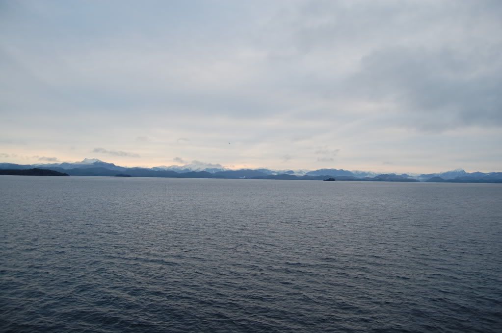
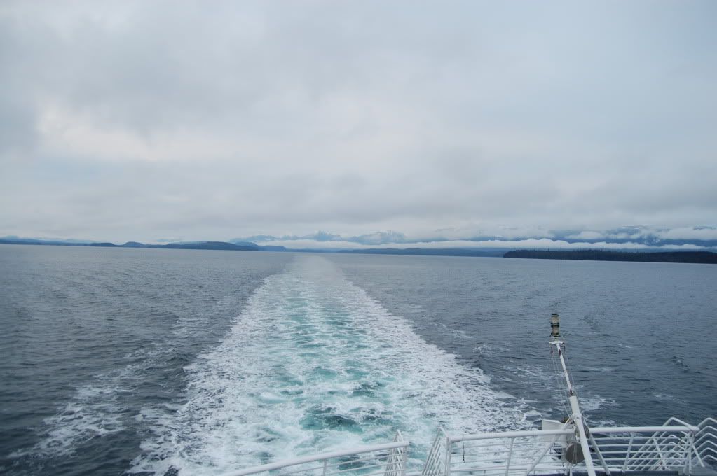
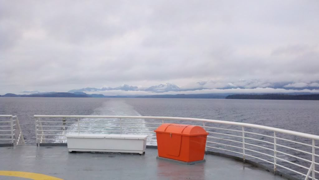
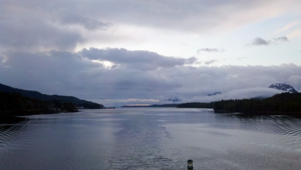
Later in the afternoon the sun came out
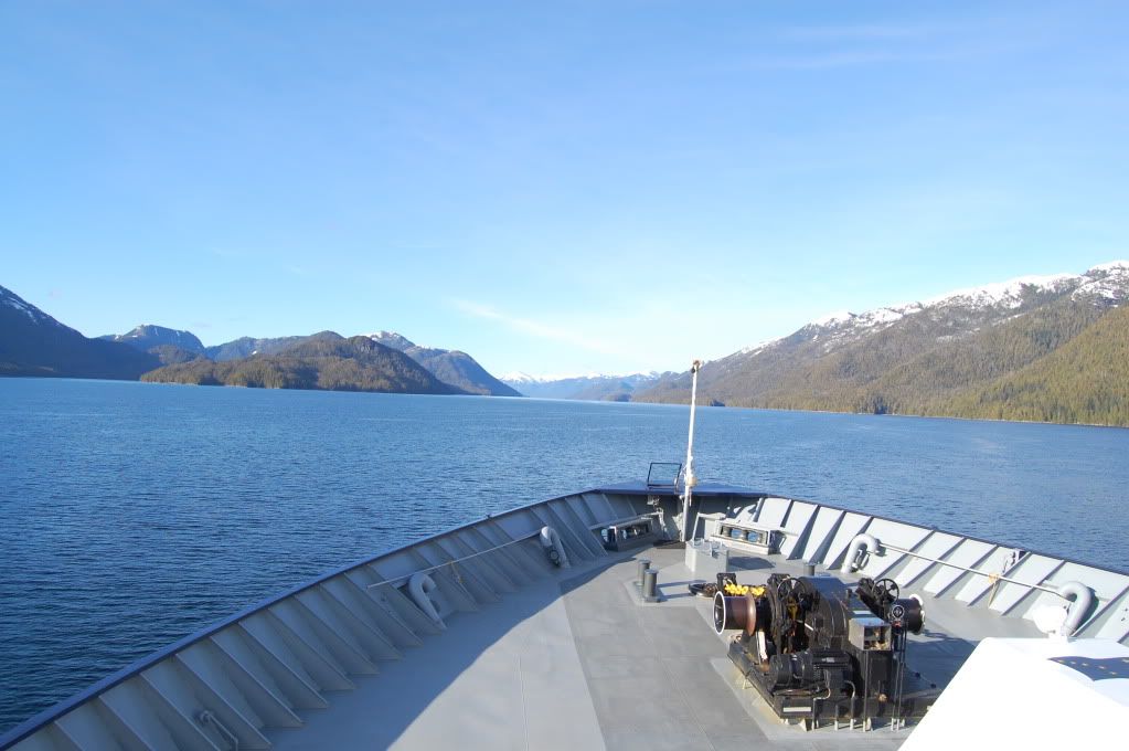
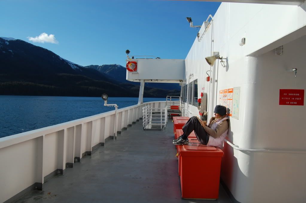
The boats fortunately have a lounge too, so I spent most of my time there. :freaky
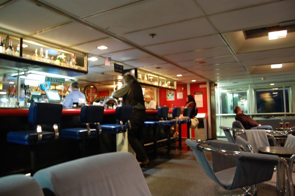
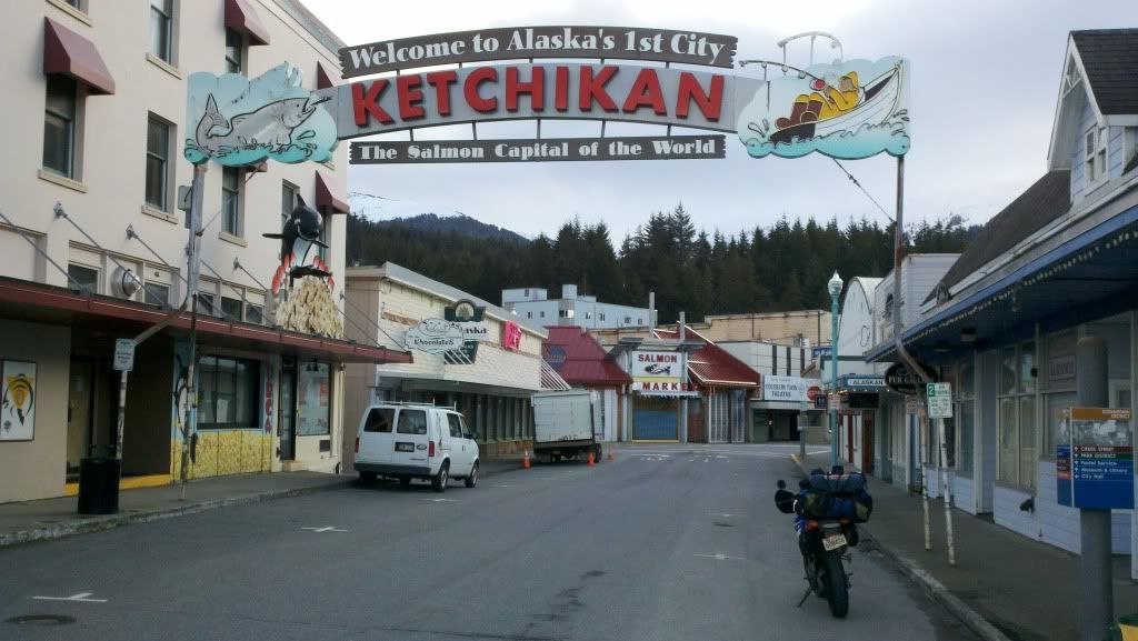
The next morning we pulled in to Ketchikan and changed boats. Changing boats gave me a chance to run around town for the little bit, which is nice because there's no other way to get to Ketchikan as there are no roads to the mainland.
On the new boat Solarium deck :chewy:
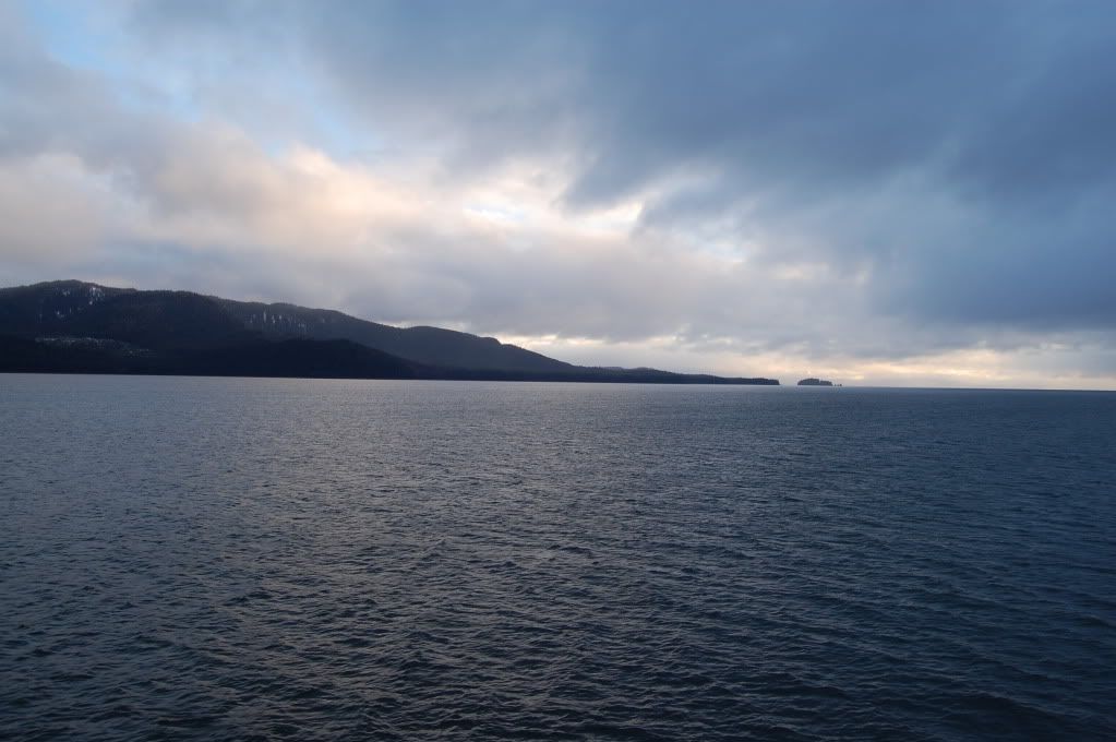
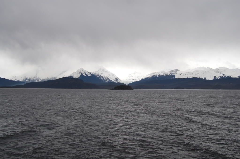
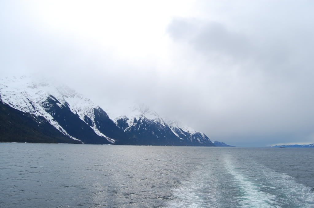
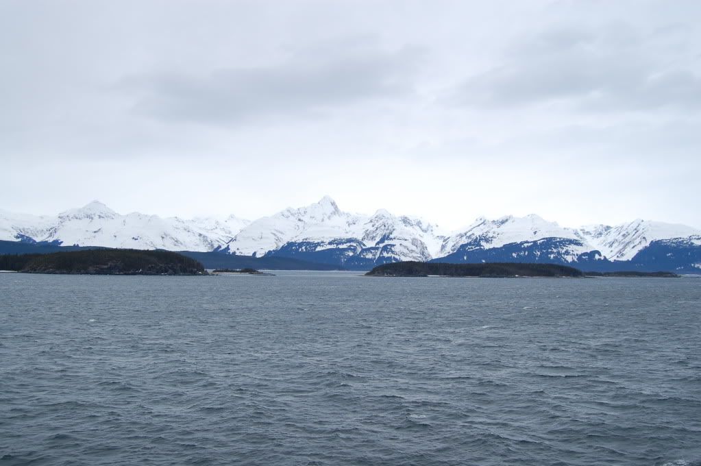
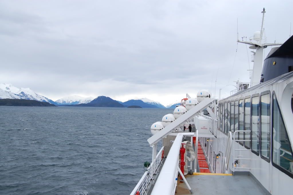
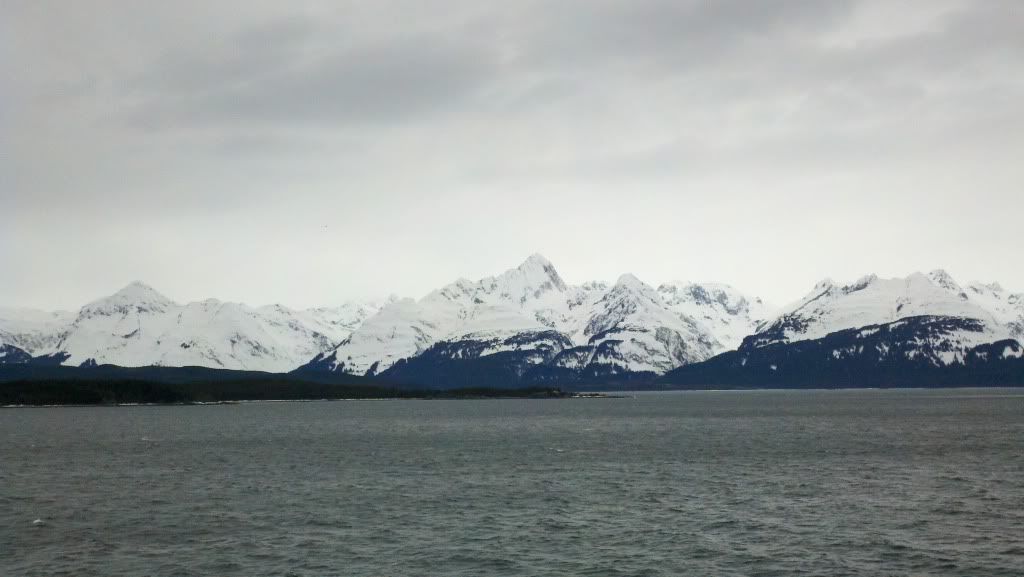
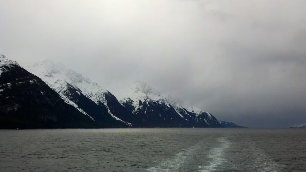
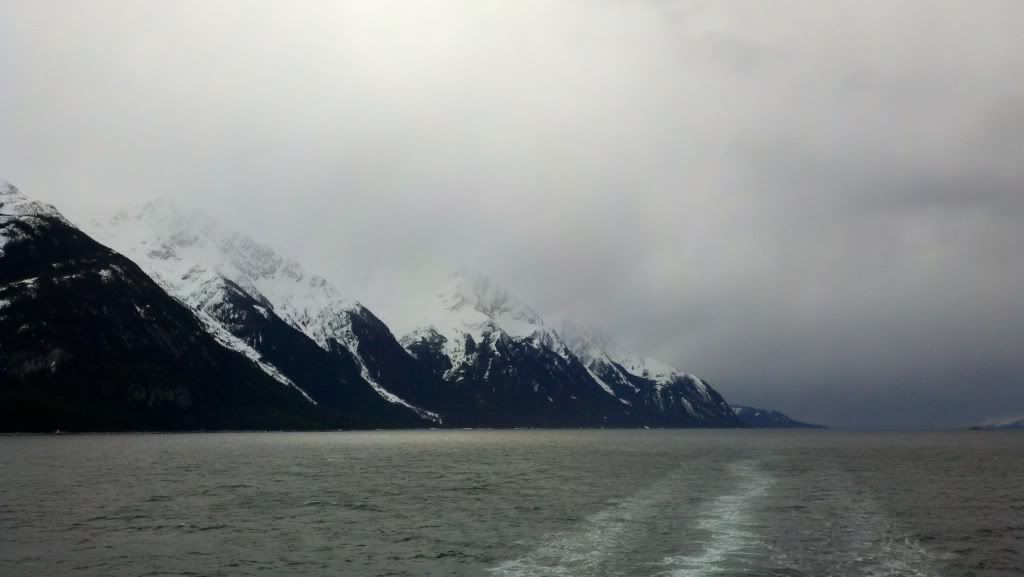
Around 10am on the second of April, the ferry pulled in to Haines, AK. The weather was borderline cold, probably at most 40 degrees, and the roads, at least down here, were clear. Only 660 miles or so to Fairbanks...
...But I'd have to get there first. :white:
__________________
2008 Yamaha WR250R
|

12 May 2012
|
|
Registered Users
HUBB regular
|
|
Join Date: Jul 2009
Location: Fairbanks, AK
Posts: 82
|
|
There is a strange feeling in Haines, like you're hanging off of the edge of the world. Because you kinda are out exposed on the edge, the edge of civilization anyways. There are remote parts of the country in the lower 48, but nothing like up here. The atmosphere carries a seriousness I've not felt elsewhere yet on my travels, and it whispers 'be wary'. The closest to it is riding on the Outer Banks south of Hatteras where you are basically exposed to the Atlantic Ocean on a tiny spit of sand. Death Valley might as well be Manhattan by comparison. Once off the ferry, I rode about 10 miles to get to the actual town of Haines, where I topped off my gas tank and got some cash for the ride through Canada just in case the station that were open didn't take or couldn't take credit. I asked the woman at the gas station how people were saying the roads were today, and a man who had just come in said it was great all the way to Haines Junction, clear the entire way.
That information was already several hours old by the time I recieved it...
Stopped at the border
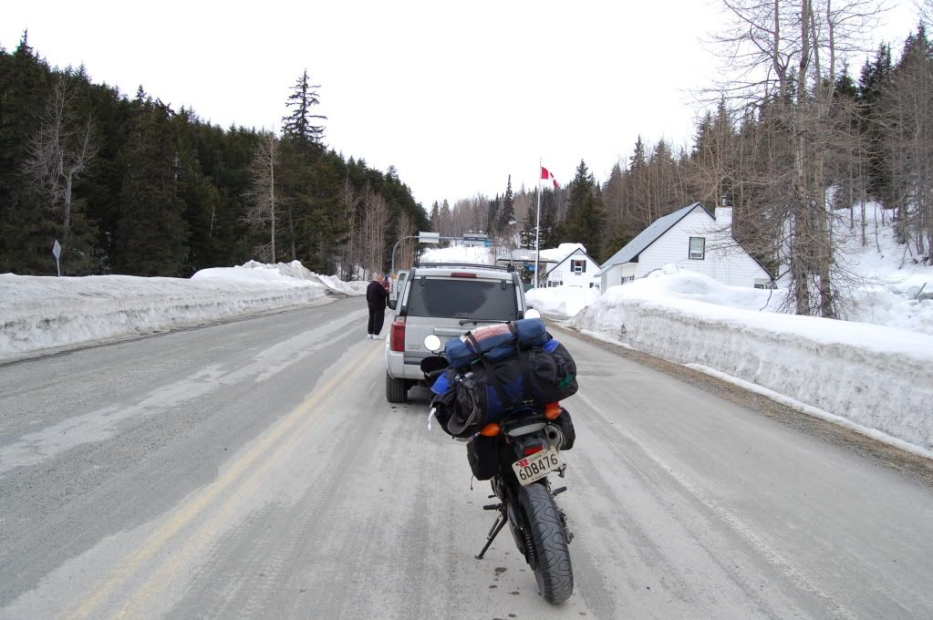
"What brings you to Canada?" Moving to Alaska. "Awful early to be on that thing isn't it?" Yeah... probably but hopefully it won't be too bad. Seen any other bikes this year? "No, not really. A few locals maybe". Hmm... He took my passport card inside and came back after about 10 minutes. "Ok be careful out there, welcome to Canada."
Maybe 30 minutes from the border it started flurrying. I could feel the mountains soaring up around me, but I couldn't see them... everything was white. There was easily 5-6 feet of snow on the sides of the road in places, not drifts either. There were more than a few occasions where I couldn't even see from the blowing snow, thank god the road was paved with asphalt so it contrasted with everything else. This was sketch. Beyond sketch. The winds were bad, mostly on my nose blowing down out of the arctic and they seemed to be bringing not just cold but snow as well, fortunately the dry fluffy kind that doesn't stick anywhere because its too cold to stick. About 14 miles outside of Haines Junction... I sputtered out of gas. One bottle in... and 12.5 miles later I was out again. Second bottle in... pulled in to the only gas pump that took a credit card to conserve my cash. Also got a burger at the only restaurant in town, which was actually somewhat decent. I could not imagine living in a town and isolated as this, let alone growing up here knowing the same 150 people cradle to grave... maybe I was just in a bad mood because of fatigue or the weather or the stars but damn I could not get out of Haines Junction fast enough. The weather was definitely turning sour and I wanted to make it at least as far as Destruction Bay before I stopped to try to minimize tomorrows ride in what was likely to be less than ideal conditions... I still had delusional hopes about making it to Fairbanks tomorrow.
Destruction Bay is only 60 miles from Haines Junction or so, and another 430ish to Fairbanks so in theory it should be ok. I couldn't remember how far the next town, Beaver Creek, was. Shortly out of Haines Junction, it started sleeting then snowing. Snowing snowing. I promised myself that if it turned bad within 20 miles of leaving HJ, I would turn back, if not push on. About 5 miles from Destruction Bay it started snowing in earnest and I felt the temperature drop. It was TIME to get off the goddamn highway before I hurt myself or worse. Fortunately the gas station in DB is also a motel, the Talbot Arms, and they had room available.
How much is a room? "$88" How far is Beaver Creek from here? "About 180km" Hmm.. snowing, suns going down, 3+ hours to ride... I'm covered in ice and rhime, the bike is covered in ice and slush, its stupid to keep going.
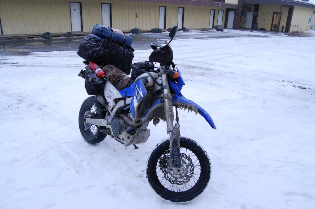
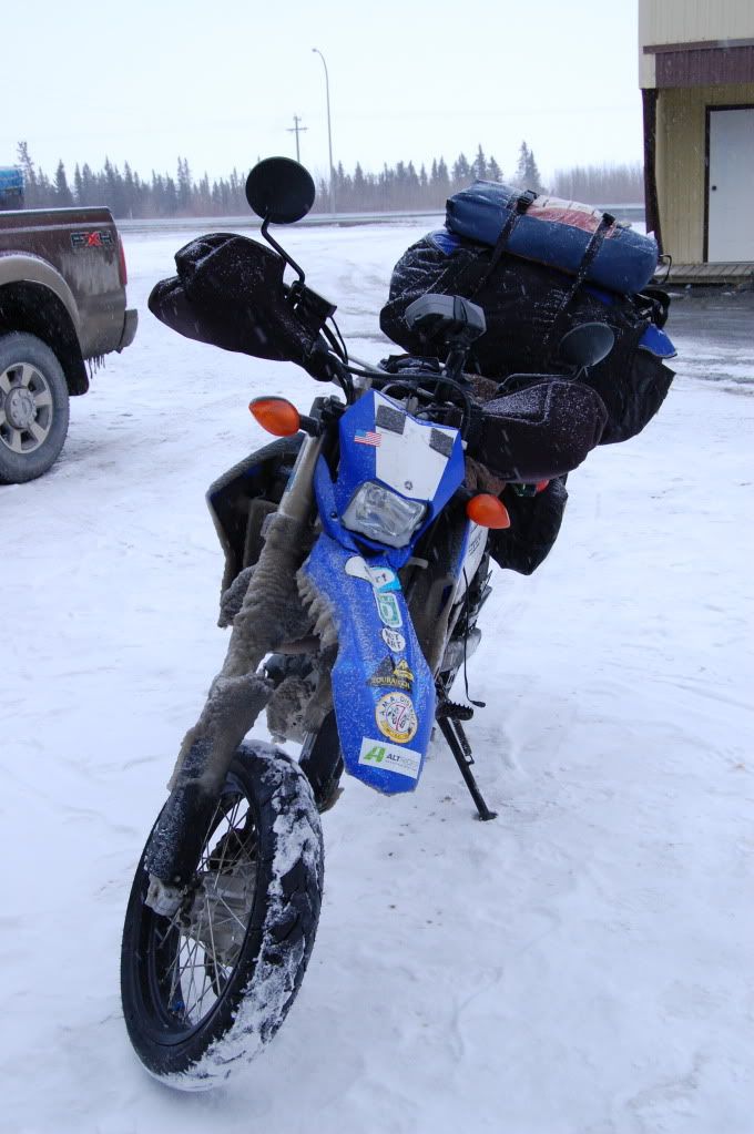
I didn't realize until I stopped how bone tired and cold I was. To make matters worse the bike was running like absolute shit, cutting out randomly in top gear until I let off the throttle and hit it again, and I could tell from riding that the chain tension was waaaaay too loose. Great... just what I want to do in sub freezing weather, adjust my goddamn chain slack. I said screw it, I won't be able to ride first thing in the morning anyway so I put it off till tomorrow, got dinner and a  , and watched some TV before falling asleep worrying about the road ahead.
Tuesday April 3
Its amazing how much food and sunshine can improve ones mood. It was still cold, several degrees below freezing, but the roads were clear enough at Destruction Bay to keep moving (against the advice of oh... everyone at the hotel and restaurant that morning). Once again, if I get up to halfway to the next town and it turns to shit, i'll turn back. Otherwise, I have to keep moving. My money was running out only slightly faster than my patience for this ride and I was ready to be done and sitting somewhere for more than a few days.
Leaving DB:
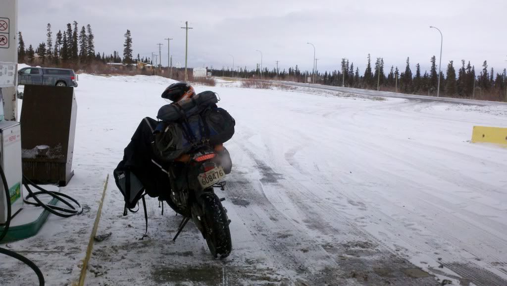
The Yukon is so breathtakingly and harshly wild beautiful its almost beyond description. I was ecstatic to be there, and infinitely happy that I had not slogged through the previous 1500 miles of the Canadian interior to get there. Especially since 70 miles outside of Beaver Creek, the AlCan turned to this:
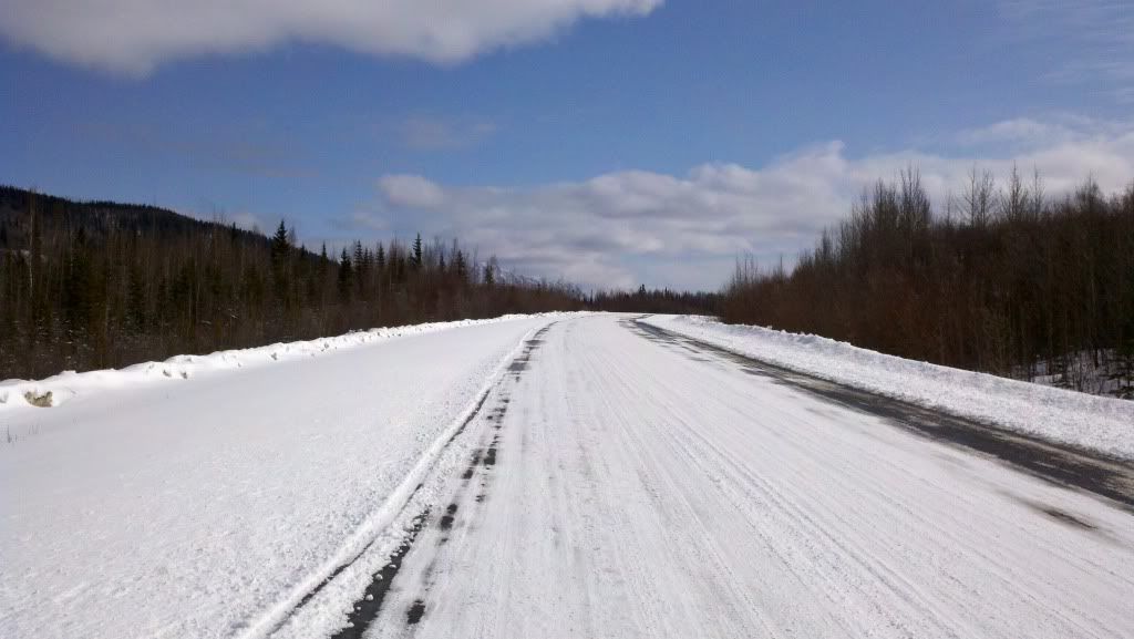
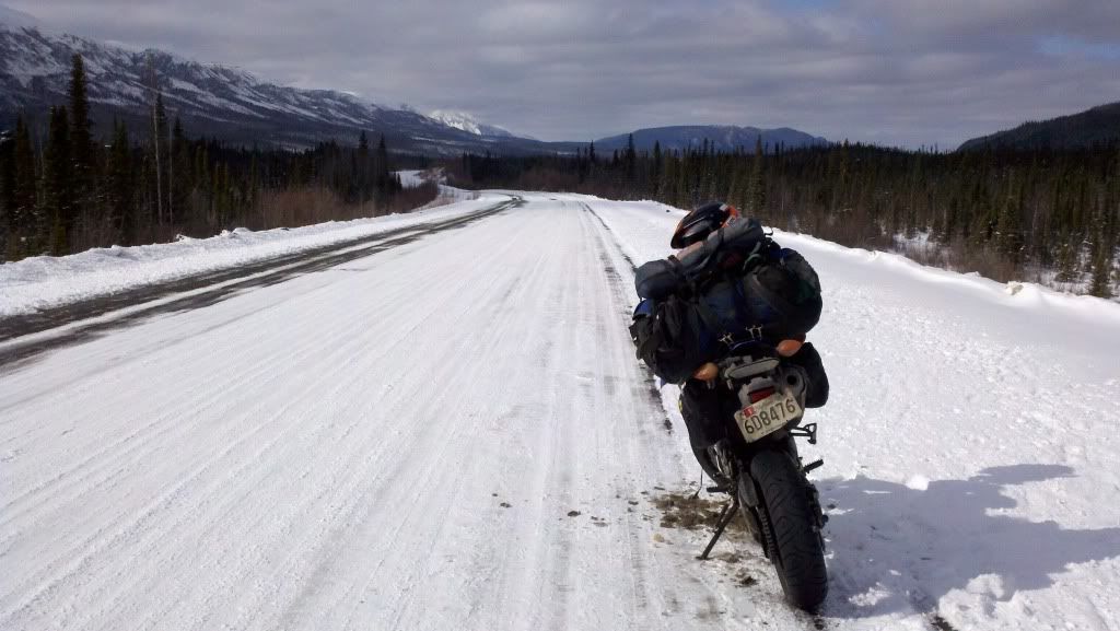
Seventy (70) goddamn miles of hardpack snow with the odd stripe of clear pavement, often on the wrong side of the highway, save for a few 1-2km clear sections. It took me FIVE (5) hours to get from DB to Beaver Creek. 120 miles, 5 hours. I dumped it three times, fortunately at extremely slow speeds because I was on a motard with street tires. Screw Canada and their inability to keep their ONE SINGLE ROAD in the Yukon open and clear of snow. And its not like they weren't plowing, its just that the plows that were out were merely skimming the surface of the snow picking off maybe the top 1/4" of snow. Maybe they get paid by the hour or something. For the privilege I paid $1.50 more per gallon for gas, 2x as much for food, and wasted most of a day flailing around on roads I had no business being on yet. I have never been so happy to see the United States, with its functioning snow removal equipment, cheap fuel, less expensive food, and actual highway maintenance. Even better, I got confirmation (for better or worse) from the border guard at the US customs house that I was the first motorcycle to come up from the lower 48 for the year.
The roads in the US were comparatively perfect and I was able to motor as far as Tok before night caught me. And there... the Canada Strikes Back! Remember how I paid for gas using my credit card? I had two nice giant $100 holds on my debit card from those gas stations. As I was already on fumes financially at that point, it made getting things like dinner and a room at Fast Eddie's fun. Canada sucks. Fortunately I had some food left in my bags from the ferry for dinner. An my family doesn't suck so a couple quick phone calls I was financially solvent again and able to pay for my room in the morning and get breakfast and get gas since those holds would stay on for about 5 days.
Wednesday April 4
Leaving Tok... on the home stretch... it was maybe 5 degrees when I left and I was wearing damn near every piece of clothing available to me and I was just managing to stay tolerably warm. Lunch and gas in Delta Junction, and I pulled in to Fairbanks around 2pm. Figuring I might as well make an entrance, I just went straight to the hotel where I'll be working all summer and introduced myself. "Hi, my name is David Dawson, I just rode my motorcycle up here from Maryland and I'm looking for [my new boss]. Is he around? I'd like to say hello."
That's it folks, we made it! The hotel put me up for the night. I met my roommate and we moved most of my ride gear and the crap I shipped up to myself to my new apartment, started work about a week later. The weather went from cold and snowy to 50's and sunny the day after I arrived. Spring has come to Fairbanks. Now, just a scant three weeks later, nearly all of the snow is gone, the roads are clear, the bikes are out, and the sun doesn't set until around 1030pm, and its still light at the edge of the sky through most of the night. I've gotten the briefest glimpse of the northern lights twice and seen probably 3 dozen caribou total. The hotel has a 'beware of moose' sign on the entrance. Local and micro brews are cheaper than Budweiser. There's a pizza place, a thai restaurant, a falafel stand, an ice cream stand, and a dive bar with a hot dog cart within walking distance of my apartment. So far this has been the best crazy stupidly retarded idea I've yet had. Oh, and I'm making at least twice as much money with half the rent and other bills I had in Maryland.
The end is just the beginning however... Dust to Dawson is fast approaching in June. The haul road starts just outside of town. Denali is less than 2 hours away. I'm mobile, hostile, and agile, and by the end of summer I will probably be not just out of debt but have some money saved away for the winter if I don't drink it all. The plan? I don't have a plan. I'm just living for me, living for tomorrow, living for life.
__________________
2008 Yamaha WR250R
|

12 May 2012
|
|
Registered Users
HUBB regular
|
|
Join Date: Jul 2009
Location: Fairbanks, AK
Posts: 82
|
|
|
I need to give thanks to the following people without whom this trip would never have been competed. First and foremost, my mom and dad for supporting me in the decision to move as far as possible and still be in the actual country from them.
A massive, huge, mega thanks to BigDog, HighFive, ramz, HardWorkingDog, and Cyborg, all inmates over on ADVRider, for giving me a place to sleep, feeding me, a place to wrench, a place to decompress, and generally putting up with some smelly stranger from the right coast riding a bike thats too small, with too much luggage, that they've never met before with some crazy idea to ride from Maryland to Alaska too early in the year for a silly summer job. All of you are wonderful people with wonderful families and I hope that one day I can repay your kindness in kind. I said it to HF and I meant it, I don't know how quite to handle people I barely know being this nice to me. Hopefully next time through I can mooch less and we can ride more. And thank you, all of you, for reminding me again that the people you love and care for and care for you are really all that's important in life.
And thanks to everyone who took the time to read this. I hope you were at least entertained, and that it helps push you to follow whatever dreams keep you awake at night, mind racing, palms sweaty, and heart fluttering. Ride fast, take chances, safety third.
__________________
2008 Yamaha WR250R
|

12 May 2012
|
|
Registered Users
HUBB regular
|
|
Join Date: Jul 2009
Location: Fairbanks, AK
Posts: 82
|
|
Epilogue
So I've been in Fairbanks for about a month now, finally got out to do some riding out of town a few days ago.
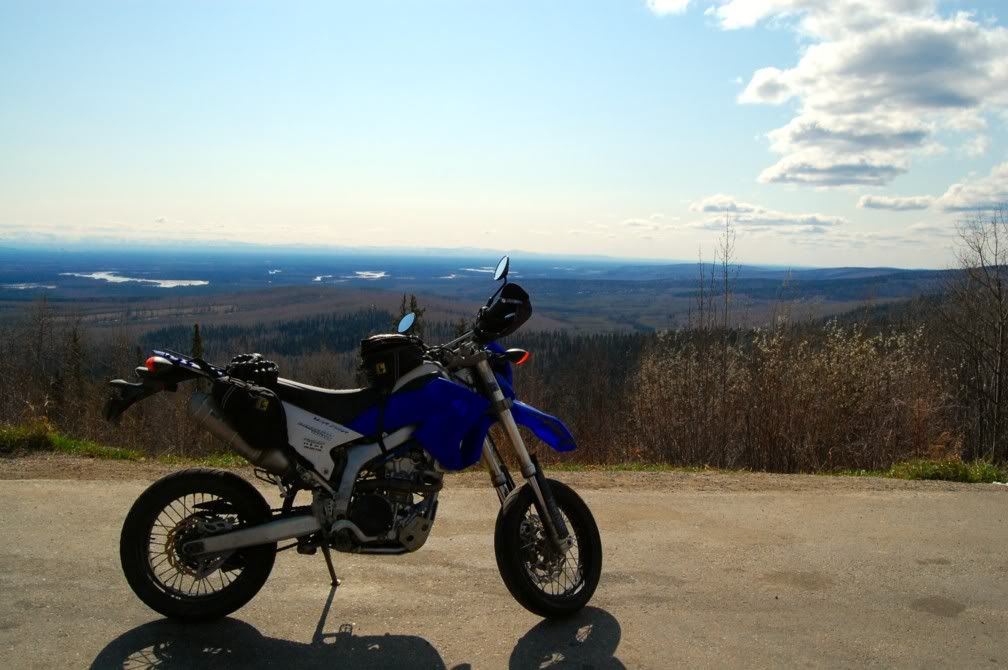
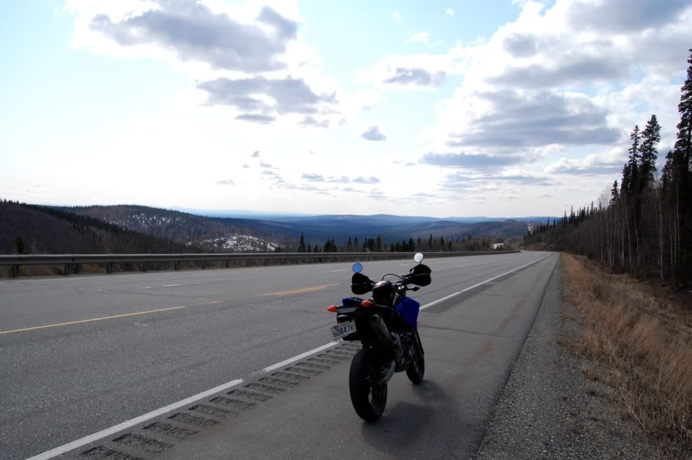
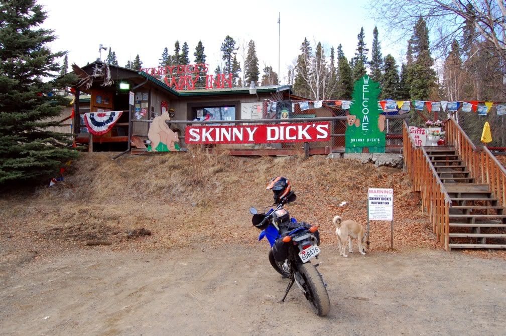
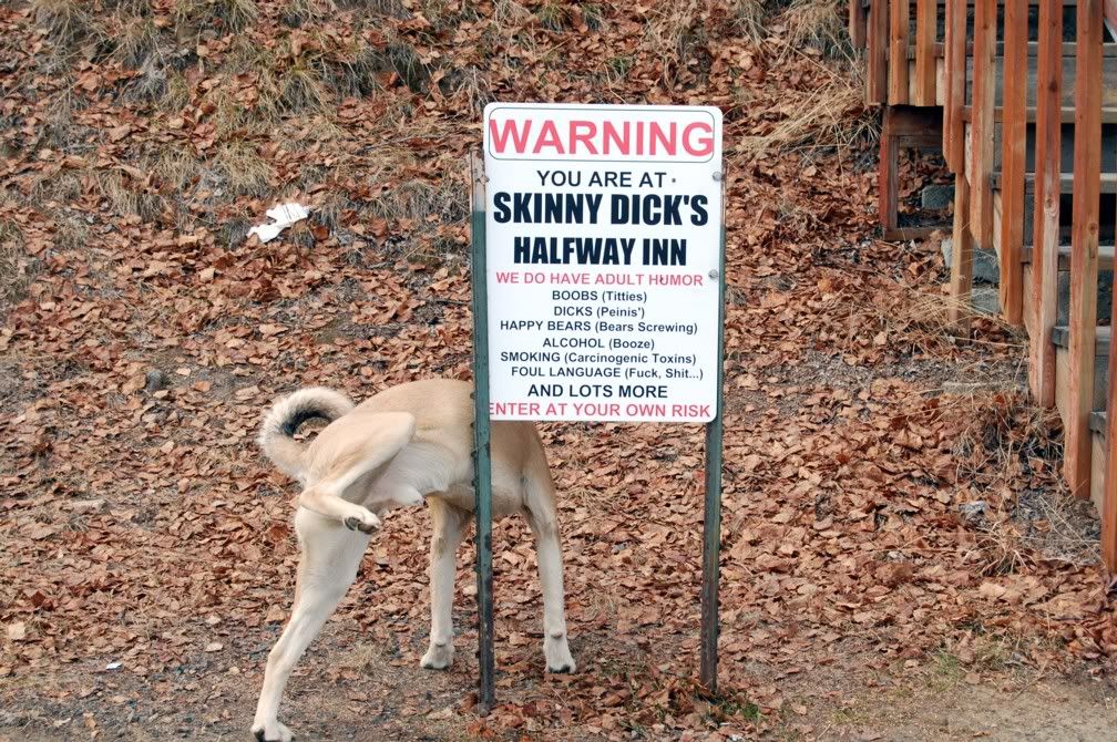
Sometimes you just get lucky when you're grabbing a picture. :lol:
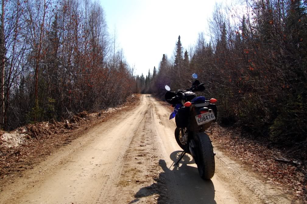
Some forest roads near town
Trail's End BMW here in Fairbanks is doing local rides every thursday night, D2D is fast approaching, and I might be trying to ride some or all of the Haul Road over Memorial Day weekend. Here's to enjoying the Northland while I'm up here! 
__________________
2008 Yamaha WR250R
|
|
Currently Active Users Viewing This Thread: 1 (0 Registered Users and/or Members and 1 guests)
|
|
|
 Posting Rules
|
You may not post new threads
You may not post replies
You may not post attachments
You may not edit your posts
HTML code is Off
|
|
|
|

Check the RAW segments; Grant, your HU host is on every month!
Episodes below to listen to while you, err, pretend to do something or other...

2020 Edition of Chris Scott's Adventure Motorcycling Handbook.
"Ultimate global guide for red-blooded bikers planning overseas exploration. Covers choice & preparation of best bike, shipping overseas, baggage design, riding techniques, travel health, visas, documentation, safety and useful addresses." Recommended. (Grant)

Led by special operations veterans, Stanford Medicine affiliated physicians, paramedics and other travel experts, Ripcord is perfect for adventure seekers, climbers, skiers, sports enthusiasts, hunters, international travelers, humanitarian efforts, expeditions and more.
Ripcord Rescue Travel Insurance™ combines into a single integrated program the best evacuation and rescue with the premier travel insurance coverages designed for adventurers and travel is covered on motorcycles of all sizes.
(ONLY US RESIDENTS and currently has a limit of 60 days.)
Ripcord Evacuation Insurance is available for ALL nationalities.
What others say about HU...
"This site is the BIBLE for international bike travelers." Greg, Australia
"Thank you! The web site, The travels, The insight, The inspiration, Everything, just thanks." Colin, UK
"My friend and I are planning a trip from Singapore to England... We found (the HU) site invaluable as an aid to planning and have based a lot of our purchases (bikes, riding gear, etc.) on what we have learned from this site." Phil, Australia
"I for one always had an adventurous spirit, but you and Susan lit the fire for my trip and I'll be forever grateful for what you two do to inspire others to just do it." Brent, USA
"Your website is a mecca of valuable information and the (video) series is informative, entertaining, and inspiring!" Jennifer, Canada
"Your worldwide organisation and events are the Go To places to for all serious touring and aspiring touring bikers." Trevor, South Africa
"This is the answer to all my questions." Haydn, Australia
"Keep going the excellent work you are doing for Horizons Unlimited - I love it!" Thomas, Germany
Lots more comments here!

Every book a diary
Every chapter a day
Every day a journey
Refreshingly honest and compelling tales: the hights and lows of a life on the road. Solo, unsupported, budget journeys of discovery.
Authentic, engaging and evocative travel memoirs, overland, around the world and through life.
All 8 books available from the author or as eBooks and audio books
Back Road Map Books and Backroad GPS Maps for all of Canada - a must have!
New to Horizons Unlimited?
New to motorcycle travelling? New to the HU site? Confused? Too many options? It's really very simple - just 4 easy steps!
Horizons Unlimited was founded in 1997 by Grant and Susan Johnson following their journey around the world on a BMW R80G/S.
 Read more about Grant & Susan's story
Membership - help keep us going!
Horizons Unlimited is not a big multi-national company, just two people who love motorcycle travel and have grown what started as a hobby in 1997 into a full time job (usually 8-10 hours per day and 7 days a week) and a labour of love. To keep it going and a roof over our heads, we run events all over the world with the help of volunteers; we sell inspirational and informative DVDs; we have a few selected advertisers; and we make a small amount from memberships.
You don't have to be a Member to come to an HU meeting, access the website, or ask questions on the HUBB. What you get for your membership contribution is our sincere gratitude, good karma and knowing that you're helping to keep the motorcycle travel dream alive. Contributing Members and Gold Members do get additional features on the HUBB. Here's a list of all the Member benefits on the HUBB.
|
|
|






 ?"
?"


 Linear Mode


