|
High Atlas - MH6 update. Feb 2012
Hi folks,
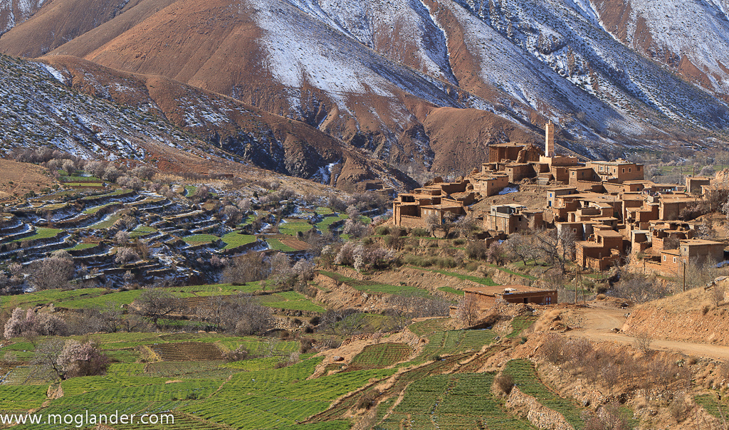
Just did this route during Feb. It seems to be a strange year as it was cold, and we got snowed on while wild camping, but the whole route was dry to drive. There were no water crossings left, we could see the new bridges / roadworks where this has obviously been improved over the last few years.
On the detour to see the lake Ifni, (km 53 /72), We only made it up about 2km or so, as there was a road work crew putting in a new bridge, and they advised we dont go any further due to the height of our truck. We hiked about another km, but it's flipping steep and we turned back as were about 9 or 10k from the lake itself.
We drove in to just before Sour (km 22 / 103) and rough camped on a hill. We just had one guy call to see were we ok, and if we wanted to sleep in his house. Other than that, just a few friendly waves. We started driving the next morning earlyish, before 9, and finished the route late afternoon. note this was in a Mog, and we go pretty slow to take photos.
I would judge that all the route would be driviable all year round, provided it's not snowed in. They have made a lot of it pretty wide, and a few of the tight wet turns are now cut off.
Hope this helps someone! We liked it, it's a pretty drive though quite a bit of it you are in a valley, 1/2 way up the valley wall. we did'nt get to see Mt Toubkal (at least we dont think we did!) but it was all pretty.

Photos and video to go with this over on our blog at this post.
Last edited by Mervifwdc; 21 Feb 2012 at 20:45.
Reason: Added Photo
|