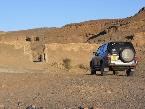
Interesting installation. When you look at it on aerial image it's clearly a natural formation that, with the simple addition of that wall and portal, became a defensive agadir or citadel which I imagine would have preceded the French occupation.
Not to say the French may nor have used it as a garrison or something, but the presence of Sijilmassa on the other side of the Rheris flood plain suggests it (or places like it) may go back centuries. Sijilmassa was the northern end of the '52 Days' trade route to Timbuktu and it's no coincidence that it sits right on the point where the two big rivers - Rheris and Ziz - nearly touch. High Atlas reliably feeding the sunny desert with water would make a great location for agriculture (as aerial shows today) and I'd guess long before Sijilmassa became the famous medieval desert entrepôt.
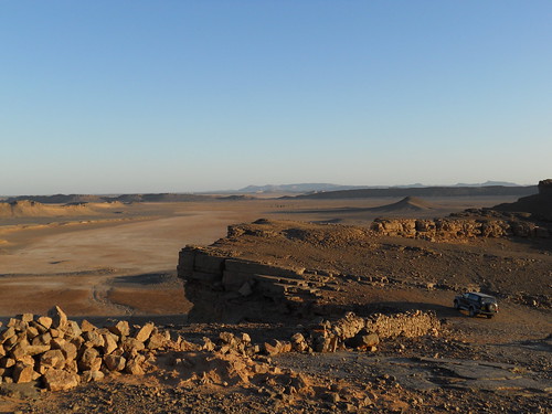
You get a lot these ancient installations along the riversides hereabouts. Look at this place just north of Taouz on the other side of the flood plain. Just a few miles south are some pre-Islamic tombs, quite rare in Morocco as far as I know, but in the central Sahara often found clustered where a big river disgorges onto a plain. Seems to be a key factor in prehistoric settlement.
There's an example of an old French fort at Atchana about 100km NNW, though not much left of it. See Tim's post on the history.
Ch
|


 Hybrid Mode


