Example for Box Hill.
Find it on GoogleEarth:
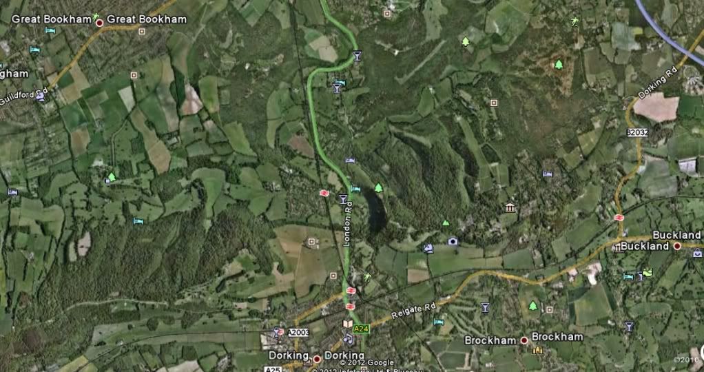
Zoom in enough to see the car park and put the cursor (usually a hand) on the car park entrance.
Read co-ordinates at the bottom of the screen:
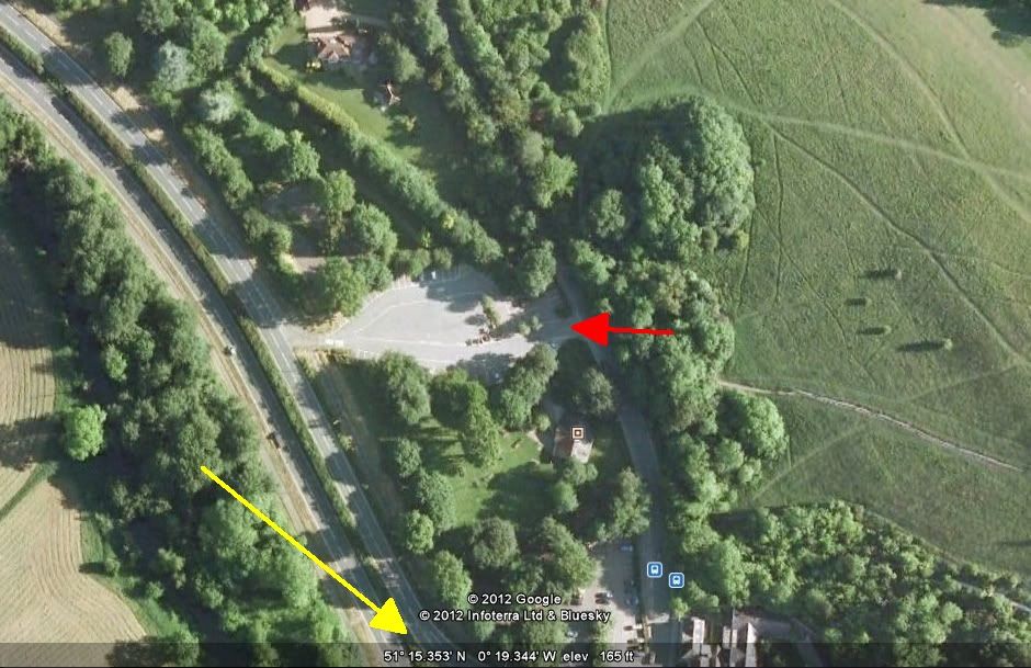
51 deg 15.353' N 0 deg 19.344' W
If you need a different format for the co-ordinates, select it here:
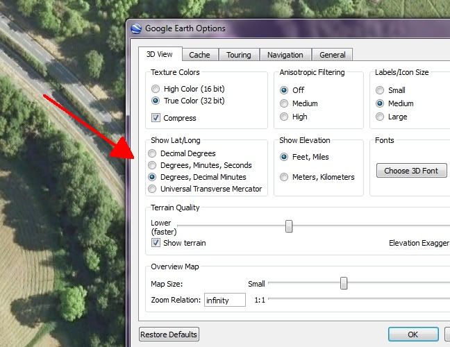
(Tools - Options from the main toolbar to get to this menu)
That should do you. 
Quote:
Originally Posted by Endurodude

Maybe I'm just a luddite!
|
If you have a Garmin 550 you're definitely not a Luddite. I'm still using my 15-year old Garmin GPSII.
(So I know how to load it with googleEarth co-ordinates, it's the only way to put a route on it!) 
Cheers
|


 Hybrid Mode


