Software:
Oziexplorer
Works On : PC,Andriod
For all my routes and waypoints.
Pros : has loads of features to manipulate MAPS, WP, Tracks, etc etc : my got for all conversions to/from formats
Cons : needs updating, poor Garmin interface, will only upload download
Basecamp
Works on: PC
Because I have to with Garmin stuff
Pros : better management of the GPS
Cons : typical horrible Garmin software, does barely enough ; not easy to manipulate WP, tracks or do calculations: Map handling is restricted, only works with Garmin products
OS maps App
To make sure I am legal when in the UK
Pros: great for UK maps, always up to date
Cons: rubbish WP, route management , no upload for WP unless in a route, can be pricey for occasional use.
Google earth:
to check out locations on streetview and general searching of places to stay/visit ,
pros : its Google earth.
cons, not good at journey planning . new online version gobbles internet data.
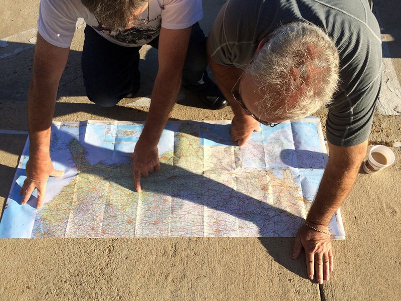
Maps:
OS maps : UK at it’s best
OSM maps : price is good but data is not always as good as others
GARMIN maps : some are good
BING Maps : great for normal road navigation and are downloadable for offline use
Lots of other random maps in Oziexplorer , like Russian maps and IGN for Africa etc.
Hardware:
PC:
For trip planning, a mouse and big screens are much easier to work with.
I have all my data/ maps etc and basecamp database on Onedrive so I can have it anywhere, and always on my main PC
Laptop :
Thinkpad (a must) mirrors whats on my PC and linked to One drive for on trip readjustment of the trip
Always remember to refresh Onedrive before leaving internet connection
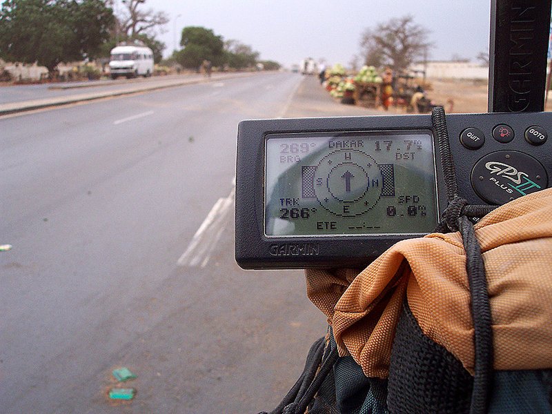
Garmin GPS 276Cx:
Pros : dedicated GPS is a must in my opinion, laptops/phone get broken/fail when being used for other things
Cons : It has not lived up to its previous incarnation the 276C which was great ,the 276Cx is slow, crashes and locks up, not good for a big company selling an expensive bit of kit.
Smartphone :
Dual sim for overland trips , so I can use OS maps app and download stuff, also normal routing software like Bing maps /Here maps with downloadable maps , Bing maps map everywhere for free, and works well, has traffic data.
Notebook:
I always write a list of main cities and route names in a list to follow old school
Pros : very reliable, I find the travel more enjoyable if we look for road signs as apposed to staring down at a GPS, you see so much more of the trip. Creates a great record for the scrapbook
my mother still has her notebook from her 50’s trip to France on her motorbike, what a great read that is.
Cons : doesn’t like rain
 Never a dull day
www.beady.com/blog


 3Likes


 And what's worse is that picture itself is a few years old.

 Linear Mode


